Choosing an Equal-Area Projection for Area Reporting
Select an area-measurement method suited to the project's extent, distinguish projected and ellipsoidal calculations, and keep geometry and units consistent.
Define which area is required
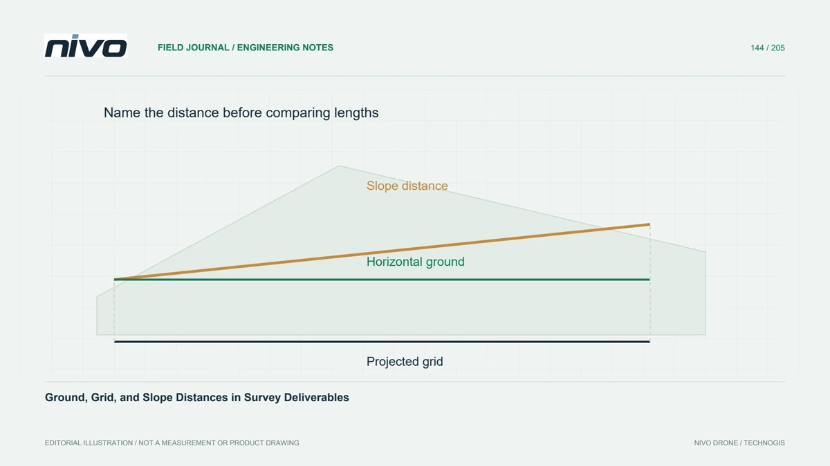
A mapped horizontal area, an area measured on an ellipsoid, and the surface area of sloping terrain answer different questions. Decide which quantity the report requires before choosing a projection. Land-cover accounting commonly uses a planimetric framework, while material coverage on steep ground may need another treatment. An equal-area projection does not turn a two-dimensional polygon into a measurement of every slope and vertical face.
Choose a suitable measurement framework
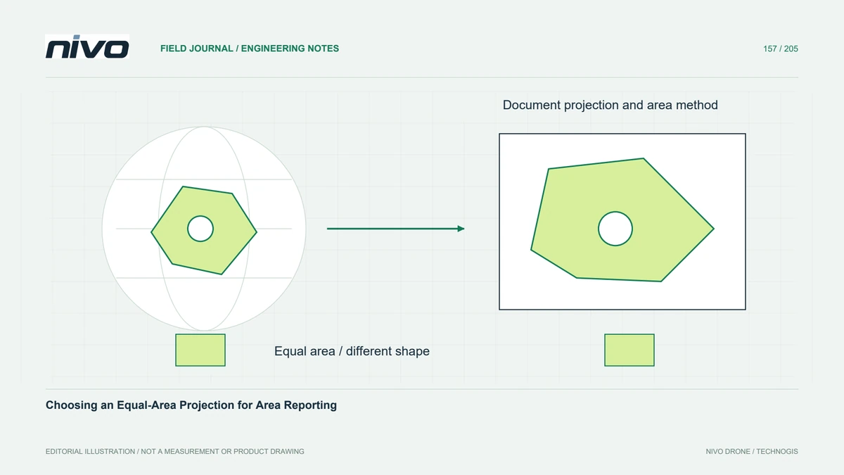
An appropriate equal-area projection preserves area within its mathematical definition while distorting other properties such as shape or direction. Ellipsoidal area calculations offer another approach when implemented appropriately. Choose one consistent framework for the project and document it. Avoid comparing a planar area in one coordinate system with an ellipsoidal value from another tool without identifying the different calculation settings.

Select projection parameters deliberately
Projection families and parameters should suit the location and extent, not just a familiar name. A regional conic equal-area setup and a locally centred azimuthal equal-area setup can serve different mapping needs. Use an established appropriate definition or obtain geodetic advice for a custom one. Retain the full coordinate reference description, including datum and parameters, so another analyst can reproduce the calculation.
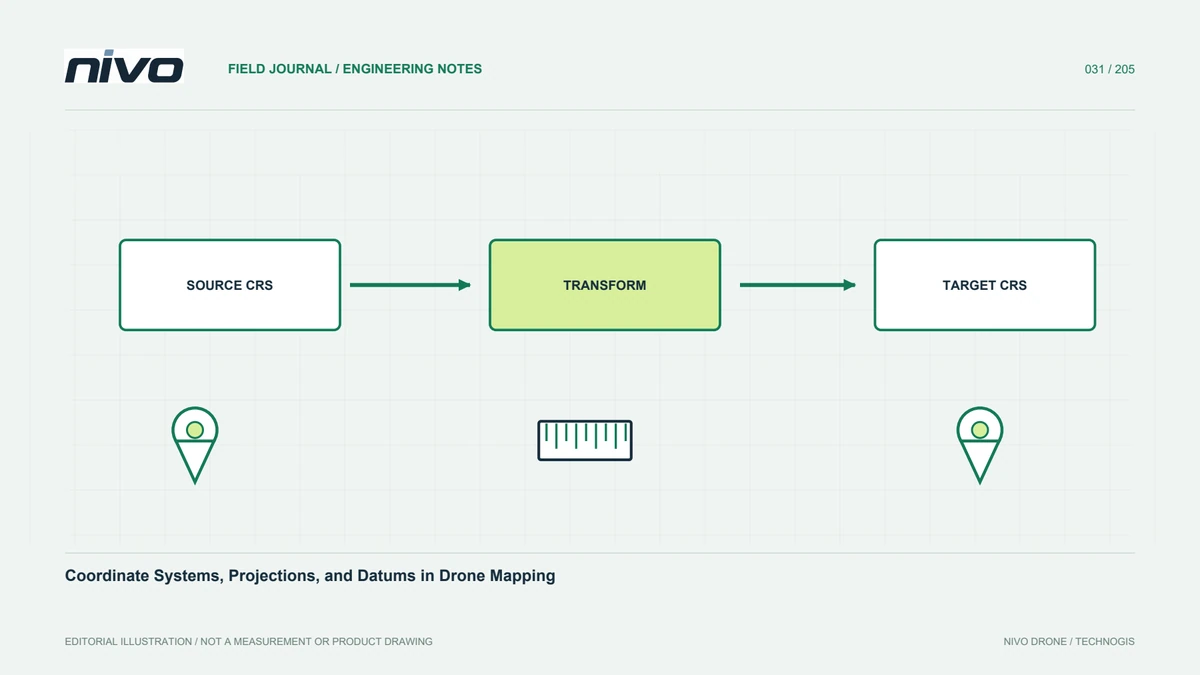
Transform coordinates rather than relabel them
Reproject the geometry through a valid coordinate operation; assigning a new coordinate-system label leaves the numbers unchanged and mislocates the data. Inspect transformed landmarks and polygon validity before calculating areas. For raster classes, reprojection also introduces resampling and cell-boundary decisions, so a simple count comparison may change. Choose the method according to whether the authoritative source is vector geometry or classified cells.
Check totals and edge cases
In a hypothetical regional habitat inventory, calculate a reviewed polygon sample and the full class totals under the agreed method. Inspect multipart features, holes, and boundaries crossing the reporting extent. Compare a suitable independent calculation to find unit or configuration mistakes, while recognising small differences caused by distinct geometry representations. Resolve large discrepancies before rounding totals into hectares for a public report.
Record the method beside the numbers
Deliver the source geometry version, measurement method, coordinate definition, units, and any clipping or exclusion policy with the area table. Preserve unrounded values for audit and use justified precision in presentation. Acceptance should establish consistent, reproducible area accounting. Choosing an equal-area projection addresses one mathematical property; it does not correct misclassified land cover, inaccurate boundaries, or missing observations in the underlying drone survey.