Stratified Sampling for Rare Land-Cover Classes
Design an independent probability sample that represents rare classes, preserves inclusion probabilities, and supports defensible accuracy and area estimates.
Set the assessment objective
A land-cover map can have a high overall accuracy while performing poorly on a small but important class. A rare wetland strip or disturbed area may contribute little to the total yet matter greatly to the project. Define whether the assessment prioritises overall accuracy, particular classes, area estimation, or change detection before choosing a sample design and allocating the available review effort.
Define the sampling unit and strata
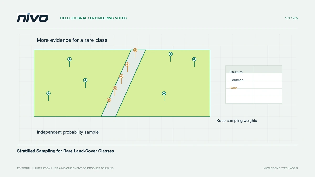
Specify whether a sample unit is a raster cell, a fixed-area plot, or another clearly defined spatial unit. Establish strata from documented information such as mapped classes, while recognising that mapped labels can be wrong. Ensure every relevant part of the population has a known chance of selection. Convenient points chosen only beside accessible roads do not become a probability sample by being widely distributed.

Allocate observations with a clear purpose
Stratification can allocate more review effort to rare classes than a simple area-proportional sample would provide. The allocation should follow the required estimates, expected variability, and practical constraints. Preserve the number of units and selection probabilities in every stratum. Oversampling a small class is useful, but treating all sampled observations as equally representative of total area can distort the final summary.
Keep reference interpretation independent
Use reference evidence suitable in spatial resolution, date, and interpretation quality for the unit being assessed. Keep validation observations independent of model training and record ambiguous cases through an agreed protocol. A field photograph taken after a genuine land-cover change may not establish the earlier map's label. Review disagreements carefully rather than assuming either the map or the reference interpreter is always correct.
Analyse with the sampling design
In a hypothetical plantation habitat inventory, draw a random sample within each documented stratum and secure enough observations to assess a narrow riparian class meaningfully. Inspect sites using consistent reference rules and record inaccessible or uncertain cases without silently replacing them with convenient locations. Apply an analysis consistent with the sampling design, including appropriate weighting and uncertainty reporting, rather than presenting raw sample proportions as unbiased area estimates.
Document uncertainty and exceptions
Deliver the sampling frame, strata, selection procedure, inclusion information, reference protocol, labelled observations, and analysis method. Report class-specific performance alongside overall summaries and explain uncertainty or deviations from the design. Acceptance should establish a traceable assessment of the map, not a collection of favourable examples. Rare-class review is most useful when it supports honest decisions about where the map can be trusted and where more evidence is required.