Reviewing Geofence Geometry and Altitude References for VTOL Missions
Connect fence geometry, altitude definitions, breach responses, recovery paths, and installed software evidence without treating a map polygon as complete protection.
Separate the operational boundary from the display
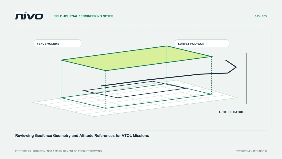
A polygon on a planning map can represent a survey area, a coordination boundary, or an uploaded geofence. Those roles are not interchangeable. Identify which objects are actually loaded, enabled, and supported by the installed aircraft. Keep the fence version separate from the image-acquisition boundary. This avoids assuming that drawing a line automatically changes vehicle behavior or supplies permission to operate within the area it encloses.
Review the complete three-dimensional meaning
Horizontal geometry and altitude constraints need explicit definitions. Identify the relevant height reference and units for the software version, including any supported minimum and maximum limits. Terrain variation can make a simple-looking vertical rule operationally significant. Do not infer altitude meaning from the ground-station label alone. Record the reference and example locations so reviewers discuss the same volume rather than different interpretations of a two-dimensional picture.
Trace the configured response
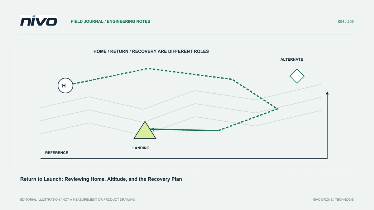
Fence detection and the action following a breach are separate questions. Review the actual configuration, applicable vehicle documentation, and interactions with other mission or contingency behavior. The required evidence is what the installed system is configured to do, not a generic feature list. A response leading toward home or another point still needs its own operational assessment; the existence of a fence does not prove the resulting path is suitable.
Consider turns and supporting phases
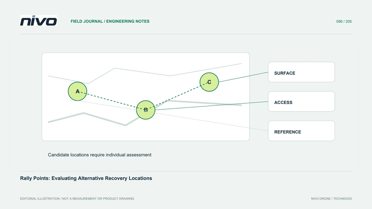
A mapping plan includes entry, turns, transition, return, and potentially alternative recovery arrangements. Examine those phases alongside the fence rather than checking survey-line endpoints alone. The aircraft's geometry and operating limitations determine the necessary assessment. Do not tighten the boundary merely to match a client polygon if required maneuvering space has not been evaluated. Resolve the conflict through planning before uploading an apparently tidy but internally inconsistent package.
Verify the uploaded information and interpretation
Use the approved validation process to confirm fence content, configuration state, and expected behavior. Simulation can support logic review where applicable, but cannot establish actual terrain clearance or complete site suitability. Retain reviewed files and readback evidence. If the mission changes, identify whether the fence or response assessment also needs revision. A previously accepted boundary should not be silently reused after the operating location or aircraft configuration changes.
Brief limits in operational language
Show the intended boundary, its reference, configured response, and the person responsible for changes. Explain how it relates to the survey polygon and recovery plan. Keep unresolved questions visible and follow current aircraft instructions. This gives a NiVO team a shared, reviewable planning reference without promising that geofencing replaces supervision, obstacle assessment, operating authorization, or the complete evaluation of a route under actual conditions.