Checking Shared Boundary Topology for Gaps and Overlaps
Review polygon layers as a coverage, distinguish legitimate holes from defects, and control shared-edge edits so area summaries remain consistent.
Define the expected coverage
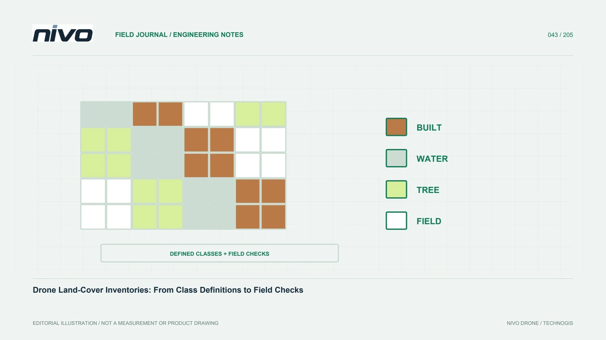
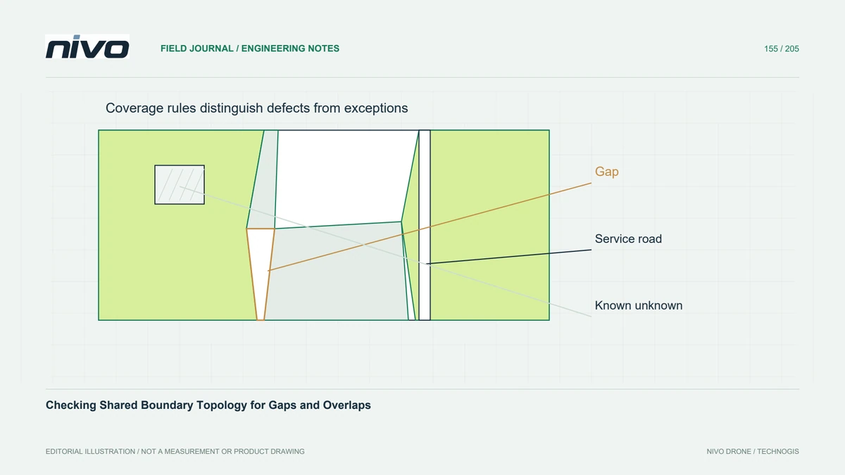
A land-cover or management-zone layer may be intended to partition an area without overlaps, but not every polygon collection has that requirement. Define the coverage contract before testing topology. Buildings can be separate objects with open space between them; exhaustive land-cover classes may need to cover the entire valid mapping extent. The same gap can therefore be legitimate in one layer and a defect in another.
Check individual validity first
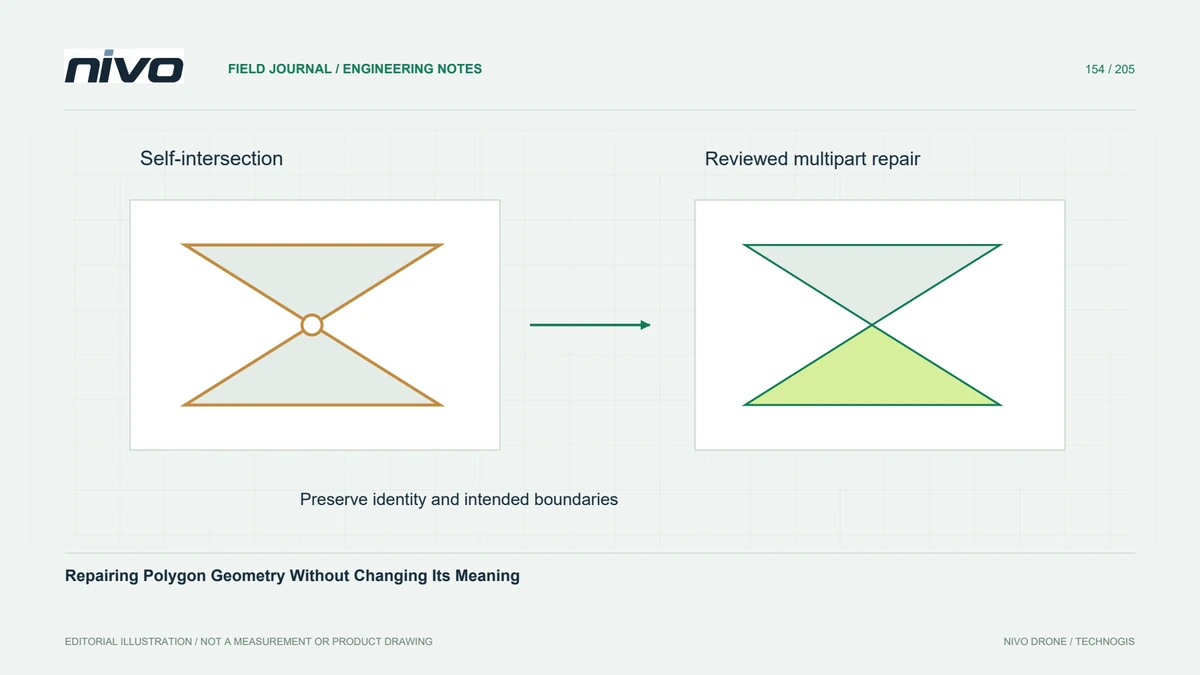
Validate individual geometries before analysing their relationships. A collection of individually valid polygons can still overlap or have mismatched shared edges, so a clean validity report is not sufficient. Keep stable identifiers and work on a controlled version. Compare the union of the intended coverage with the reporting boundary, accounting for documented exclusions, rather than assuming feature counts alone establish completeness.
Inspect shared edges and narrow slivers
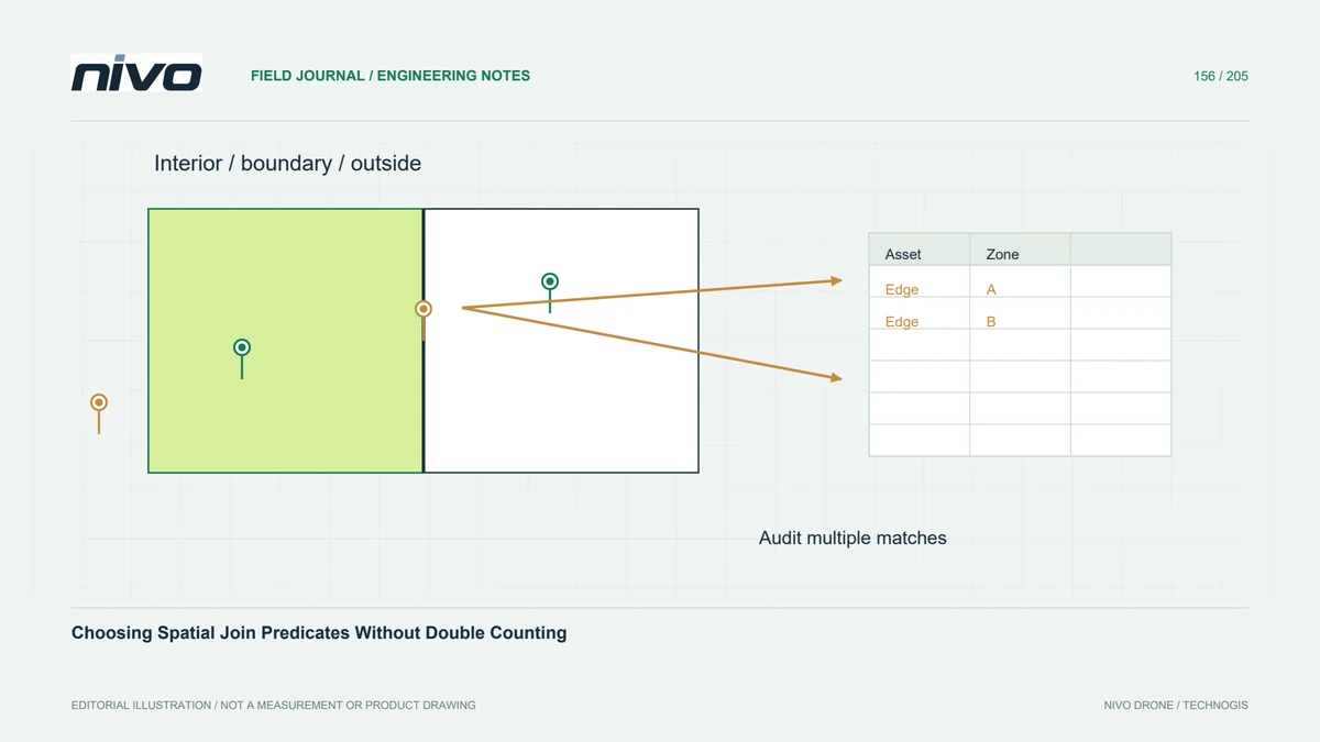
Inspect overlaps, unassigned holes, near-coincident boundaries, and small slivers at class junctions. Edge-matched polygons should use a consistent shared boundary rather than two independently traced approximations. Review where three or more classes meet and along tile boundaries. Tiny discrepancies may be difficult to see at report scale while affecting later spatial joins, area accounting, or the apparent ownership of a narrow feature.
Use tolerances grounded in the source
Choose snapping and review tolerances from coordinate units, source quality, feature size, and the consequences of moving a boundary. A convenient large tolerance can collapse narrow drainage strips or merge distinct features. Test representative edits on a copy and compare geometry changes explicitly. An automated cleanup should not silently become a reinterpretation of boundaries that the source evidence cannot support.
Preserve intentional exceptions
In a hypothetical plantation land-cover map, distinguish a deliberately unclassified cloud-shadow patch from an accidental gap between two crop polygons. Preserve the first with an explicit status and repair the second using the agreed shared-edge evidence. Check that a narrow service road remains intact after snapping. Document uncertain transitions instead of forcing every ambiguous strip into the nearest convenient class.
Verify totals and neighbour relationships
Deliver the coverage rules, permitted exceptions, applied tolerances, corrected-edge record, and final checks. Compare class-area totals with the valid mapped extent and inspect representative neighbour relationships after export. Acceptance should demonstrate both technically consistent topology and preserved feature meaning. A seamless polygon fabric helps analysis, but it does not independently establish that class labels, positional accuracy, or inferred boundaries are correct.