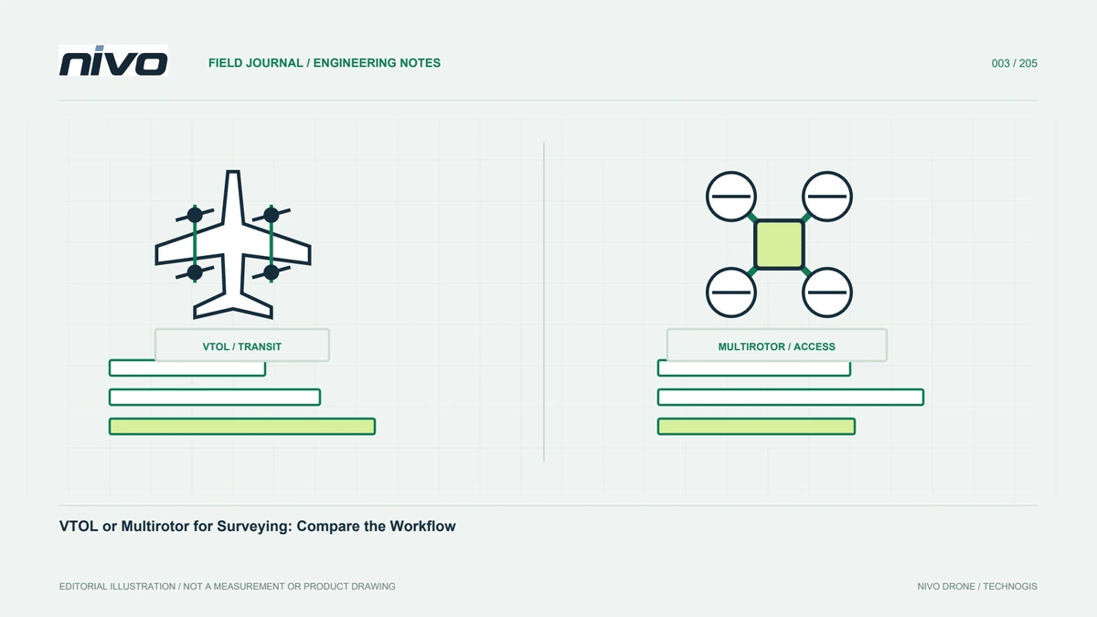
VTOL or Multirotor for Surveying: Compare the Workflow
Compare VTOL and multirotor surveying through site shape, image requirements, operating access, daily logistics, repeated missions, and accepted data quality.
Define the job first
Open-ground mapping, facade examination, and construction monitoring differ despite using cameras. One needs continuous lines while another needs observations from several positions. Record the boundary, surfaces that must be visible, and survey frequency. Separate these needs from aircraft preference. Compare offered configurations, including payloads and support, rather than assuming all examples share their category strengths. This makes the assessment relevant to real work and exposes situations where a general mapping configuration cannot provide the required inspection view.
Examine the observation pattern
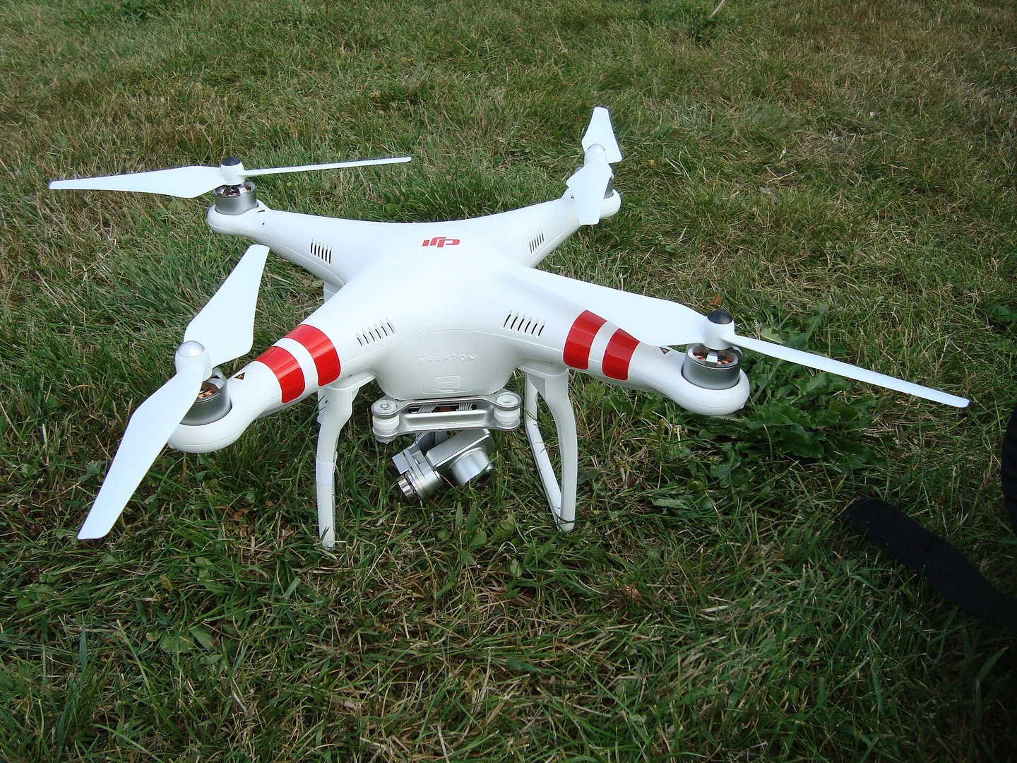
A multirotor may be practical for flexible viewing positions or observing a selected location, within its actual limits. A fixed-wing VTOL may support useful long acquisition lines. Images still depend on camera, lens, light, speed, and triggering. Compare equivalent plans. Carrying a camera does not prove inspection suitability, because viewpoint and stability may constrain it. Likewise, endurance does not guarantee imagery suitable for reconstruction. The useful question is whether each configuration can obtain the observations needed by the processor and final user.
Include the work between flights
Assembly, relocation, charging, and checking data can make different flight durations produce similar completion times. Model arrival to departure. On separate parcels, road access and site distribution may dominate; on continuous areas, fewer relocations may make cruise efficiency more useful. Include copying and inspecting data between flights. Otherwise, the estimate omits work that determines whether another mission can begin. Daily output should be evaluated as accepted data with its complete ground workflow, not just accumulated time in the air.
Treat site access as a constraint
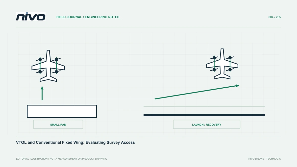
Both platform types need operating space and access management appropriate to their procedures. VTOL also needs review of cruise entry and the return to vertical flight. Inspect obstacles, traffic, terrain, and observer visibility rather than measuring an empty map patch. Prepare alternatives if the chosen site is unavailable. The operator and aircraft manual guide these decisions. Convenient logistics should not be interpreted as permission to use every open area, particularly when other activities can change its availability during the mission.
Compare equivalent sensors
The comparison is misleading if camera classes or georeferencing methods differ. Define observation resolution, field of view, position records, and checkpoints before comparing mission counts. Review power and storage. A heavier payload may affect batteries and mounts. Include custom integration work in schedule and cost. Evaluating complete configurations reveals responsibilities hidden by basic aircraft pricing. It also helps separate a supplier option that is already accepted from a proposed addition that still needs engineering and evidence before it can be used.
Consider repeated projects
Recurring monitoring values consistent lines, timing, camera configuration, and processing. These may matter more than maximum coverage in one flight. The team must reopen plans and trace changes between periods. Choose suitable documentation and data management, and assess staff skills. A new operator without records can create unexplained differences even with the same aircraft. Consistent processes support meaningful site comparisons. They help users distinguish changes in the environment from changes in how the observations were collected or processed.
Assess cost per accepted result
Include transport, staff, batteries, processing, checking, and repeat acquisition. An inexpensive day may not be economical if imagery often needs collecting again. A complicated system may also be unnecessary for a straightforward nearby site. Use a representative project and flag unproven assumptions about access or computing capacity. Transparent estimates can be updated from evidence. This supports decisions about the whole service instead of selecting one favourable aircraft number while leaving the organisation to absorb unresolved operational and processing costs.
Use complementary platforms where useful
VTOL can provide regional context while a multirotor examines selected features more closely. They can complement each other when references, file names, and assessment methods align. If only one platform is available, prioritise the most frequent work. Use the NiVO family pages for initial options, then discuss payload integration. State the operational reasoning, evidence, and support needed so the decision can be revisited as projects change. A clear division of tasks is more useful than insisting that one category must cover every observation.
Compare proposals with the same example
Give each supplier the same area, deliverables, access, and checkpoint requirements. Ask what files are delivered and what remains with your team. Coverage claims need sensor and mission assumptions; ease-of-use claims need evidence of the required result. The exercise need not produce a universal winner. It should show how each offer serves the actual task, including limitations and responsibilities. This helps the field and processing teams plan from demonstrated capabilities rather than discovering missing work after committing to a deadline.
Illustrative case: separating regional mapping from close inspection
Suppose an organisation receives a hypothetical request covering a broad industrial site and selected roof details. The manager initially asks which aircraft category can complete everything. The technical team instead separates the observations: continuous regional coverage for a base map, and targeted views that reveal the condition of particular roof features. It prepares equivalent data requirements before comparing VTOL and multirotor options. The processor checks whether overhead photographs would actually answer the inspection question. If they would not, the proposal identifies a separate observation task rather than assuming that additional pixels solve the viewpoint problem. Field staff assess access, preparation, relocation, and the roles needed for each configuration. The cost comparison includes processing and potential repeat acquisition, not simply time in the air. Where complementary platforms are proposed, the team defines common coordinate references, file identities, and delivery responsibilities. This is an illustrative workflow, not a claim that a particular aircraft supports an untested operation. Its acceptance evidence is a representative dataset showing that each observation serves its intended decision. The final plan explains why the tasks are divided, how the resulting information will be combined, and which limitations remain relevant to the user.
The organisation may commission complementary acquisition methods, or narrow the deliverable to the observations that its available configuration can demonstrate. Neither choice should be hidden inside a general promise of complete inspection. A combined package needs a documented relationship between regional mapping and detailed asset views, including identifiers that let the user find the same feature in both datasets. A narrower package needs an explicit limitation stating which condition questions remain unanswered. Acceptance therefore tests the usefulness of the observations for the stated decision, not the visual impressiveness of the assembled presentation or the number of photographs collected.