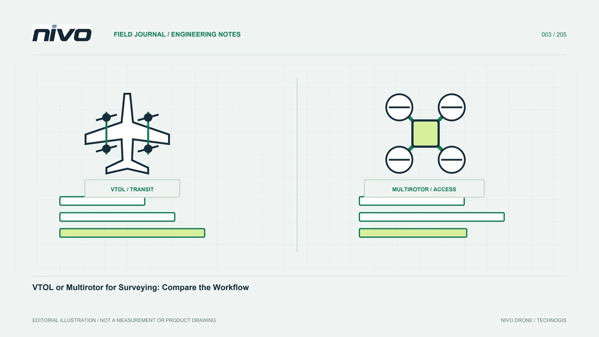
Choosing a VTOL Mapping Drone: Start with the Data You Need
Choose a VTOL drone by examining mapping outputs, site conditions, payload integration, GNSS workflows, ground logistics, and evidence from acceptance testing.
Start with the decision the data must support
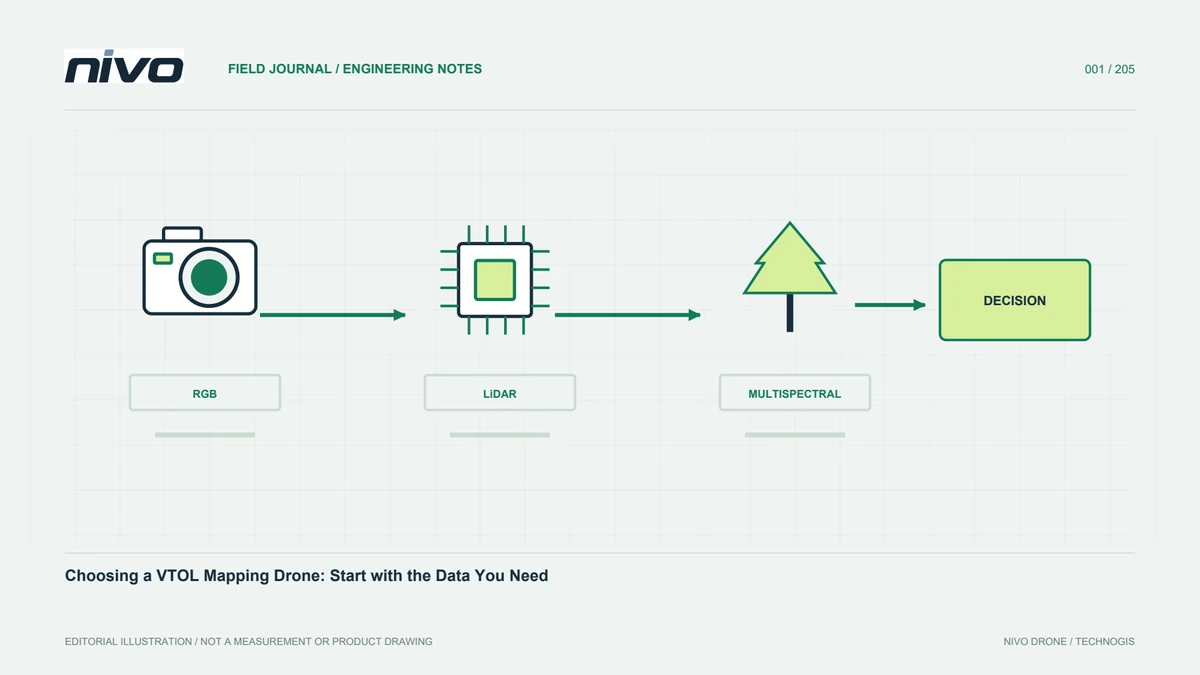
Selecting a mapping drone often begins with flight endurance. A more useful starting point is the decision that the survey must support. A planning team may need traceable boundaries, a mine operator may need a surface for volume assessment, and an asset manager may need photographs showing component condition. These tasks demand different sensors and acquisition patterns. Record the outputs, file formats, accuracy evidence, and delivery schedule before comparing aircraft. Selection then becomes an assessment of the whole survey system.
Separate area size from complexity
Continuous open ground permits long survey lines, while disconnected parcels may require repeated relocations. Review boundary shape, elevation changes, vegetation, access, and obstacles. For a corridor, route length may matter more than polygon area. Prepare an example mission for a real site, including travel to and from the acquisition block. Avoid treating all advertised flight duration as useful collection time. A site that looks small can still consume substantial preparation and ground effort because of how its individual sections are distributed.
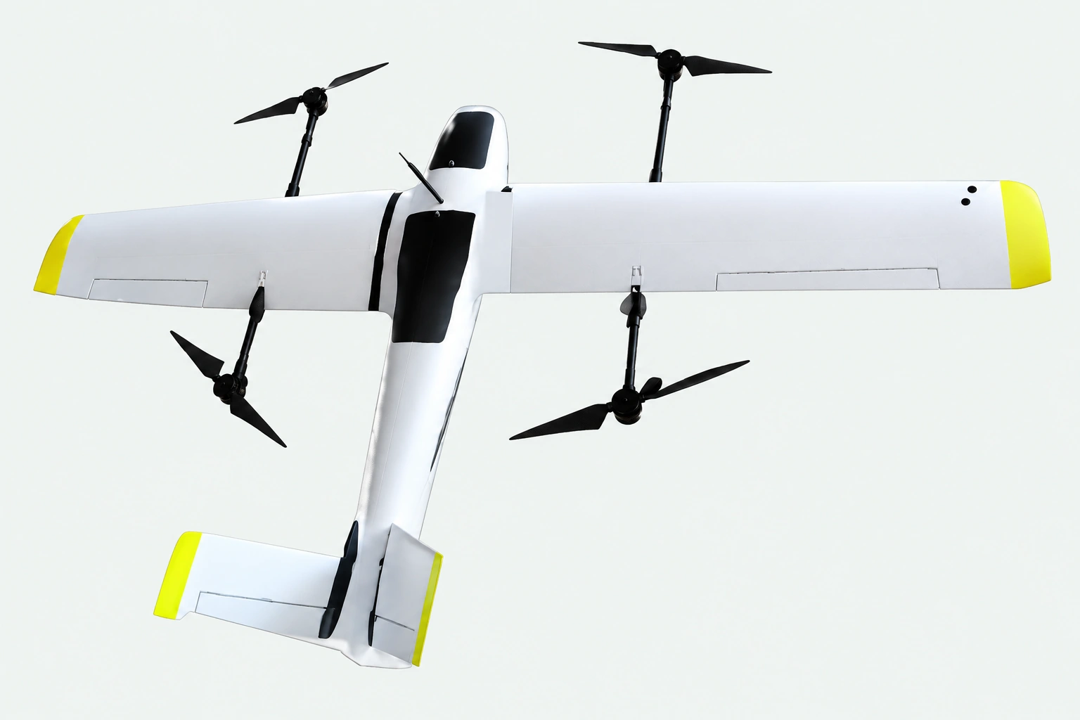
Choose the payload before calculating capacity
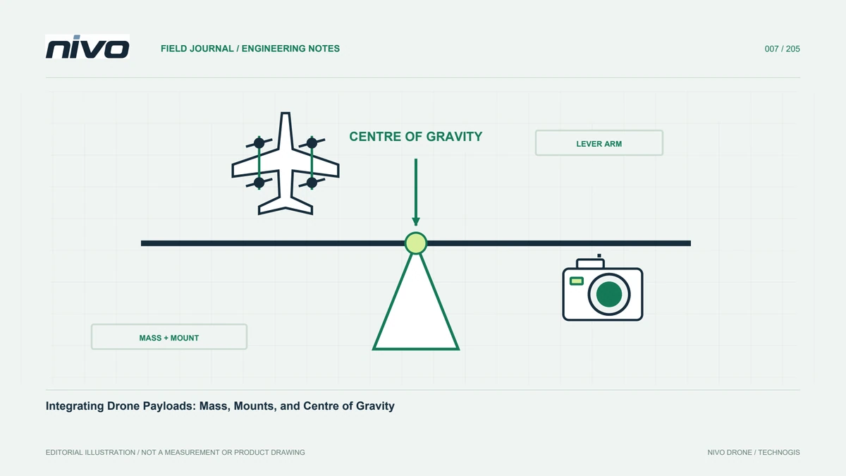
RGB, multispectral, and LiDAR observe different properties. Their category names do not establish suitability. Account for the sensor, mount, cables, storage, and power equipment. Ask how triggering works, how exposure events are recorded, and whether the airframe blocks the field of view. A payload below the stated mass limit still requires integration review. Centre of gravity, vibration, cooling, and access to storage can determine practicality. Identify measured values separately from catalogue estimates so the accepted configuration is clearly defined.
Evaluate the operating location
Vertical takeoff and landing can simplify access, but the aircraft still needs a suitable environment. Review aircraft and personnel space, access, wind, and the transition path. A small clearing surrounded by trees is not automatically appropriate. Use maps to identify candidates, then inspect them on site. Include an alternative. The responsible operator and aircraft manual govern the assessment, rather than promotional imagery. An approved location also needs to remain available for the return phase while other work continues nearby.
Review the georeferencing workflow
RTK or PPK belongs within a measurement workflow, not an automatic guarantee of map accuracy. Ask about corrections, raw observations, camera events, and software. Plan control and independent checkpoints according to the project. Datum errors, antenna reference errors, or incorrect timing can affect results despite a good position status. Request inspectable sample data. Checkpoint reports and documented processing provide stronger evidence than an accuracy number without a method. The team should also know which files must be collected before leaving the site.
Calculate the ground workload
Assembly, checks, battery changes, copying, and site travel can occupy much of the day. Review component identification and transport protection. Rehearse arrival through to copying data to separate storage locations. Consider staffing, charging support, and recommended spares. Finishing one flight quickly may not improve daily output if the team waits for equipment or struggles to identify files. Comparing the complete workday exposes these constraints before purchasing. It also helps establish whether existing staff can sustain the proposed operating process.
Test delivery and support
Agree on example deliverables containing original images, flight records, positioning data, and processed outputs. Confirm that your team can open and trace them. Discuss who supports integration, how updates are documented, and how replacements are handled. Training should match the supplied configuration. Clear responsibilities distinguish aircraft, sensor, and processing problems. They also prevent unresolved questions being passed between teams without evidence. Evaluate actual support documents rather than relying on a general promise of assistance after delivery or a short demonstration.
Build a decision matrix
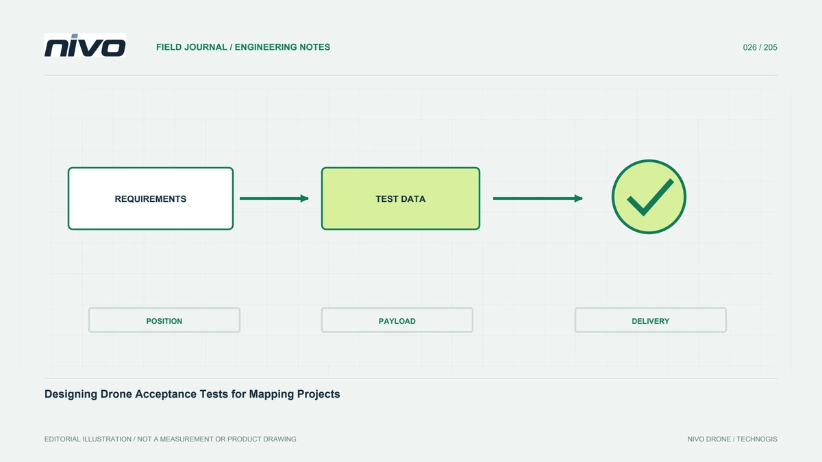
Connect each requirement with acceptance evidence. Repeat mapping may need saved plans, change records, and checkpoint assessment. Interchangeable sensors need approved configurations and installation procedures. Weight your real constraints rather than convenient catalogue numbers. Use NiVO product pages for shortlisting, then discuss the configuration with the technical team. A defensible selection fits the outputs, conditions, and operational skills and can be demonstrated in an agreed test. Record assumptions that remain untested so they are not confused with existing capabilities.
Apply it to a realistic example
Consider farms separated by roads and settlements. The initial requirement is an RGB orthomosaic, with multispectral work proposed later. Separate the accepted initial configuration from future integration. Assess each parcel, relocation, and position logging. Test a representative parcel with changing terrain and vegetation, then involve the processor before procurement is finalised. This reveals the difference between buying an airframe and preparing a survey system. It also makes the development plan realistic, because a later requirement has not been presented as an already demonstrated function.
Illustrative case: choosing a system for separated agricultural parcels
Imagine a survey team comparing aircraft for agricultural parcels separated by settlements and access roads. The requested result is an RGB orthomosaic for inventory, while a later phase may examine vegetation with another sensor. Instead of selecting the longest advertised endurance, the team prepares a representative acquisition plan and an equipment list for the initial job. The operator reviews possible operating locations and relocation work. The processor identifies the photographs, positioning records, and independent checks needed to evaluate the result. Procurement then separates the accepted RGB configuration from the proposed future sensor integration. A demonstration is considered useful only when its files can be opened and traced by the people who will process production data. If a proposal includes optional equipment without installation evidence, the team records it as additional work rather than an existing capability. The final comparison includes setup, transport, file handling, training, and support responsibilities. This hypothetical example produces a decision matrix tied to actual deliverables. It avoids turning future expansion into an unsupported promise, and it gives the manager a clear explanation of what must be tested before the organisation commits to a wider service.
The buyer can retain the demonstrated RGB package and schedule multispectral integration separately, or request a broader acceptance exercise before ordering the combined service. Those choices imply different commitments, even if the same airframe is proposed. For the narrower choice, the handoff must not advertise an untested vegetation workflow as included. For the broader choice, the evidence must cover the additional sensor, calibration requirements where applicable, and usable processing inputs. The comparison therefore records both the chosen scope and the work deliberately deferred, making later expansion an informed decision rather than a disputed assumption.