Reviewing Scan Angles and Occlusion in Airborne LiDAR
Interpret scan-angle distributions together with flight geometry, terrain profiles, and local gaps instead of using a single angle threshold as a quality guarantee.
Connect the angle to a physical surface
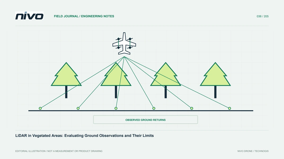
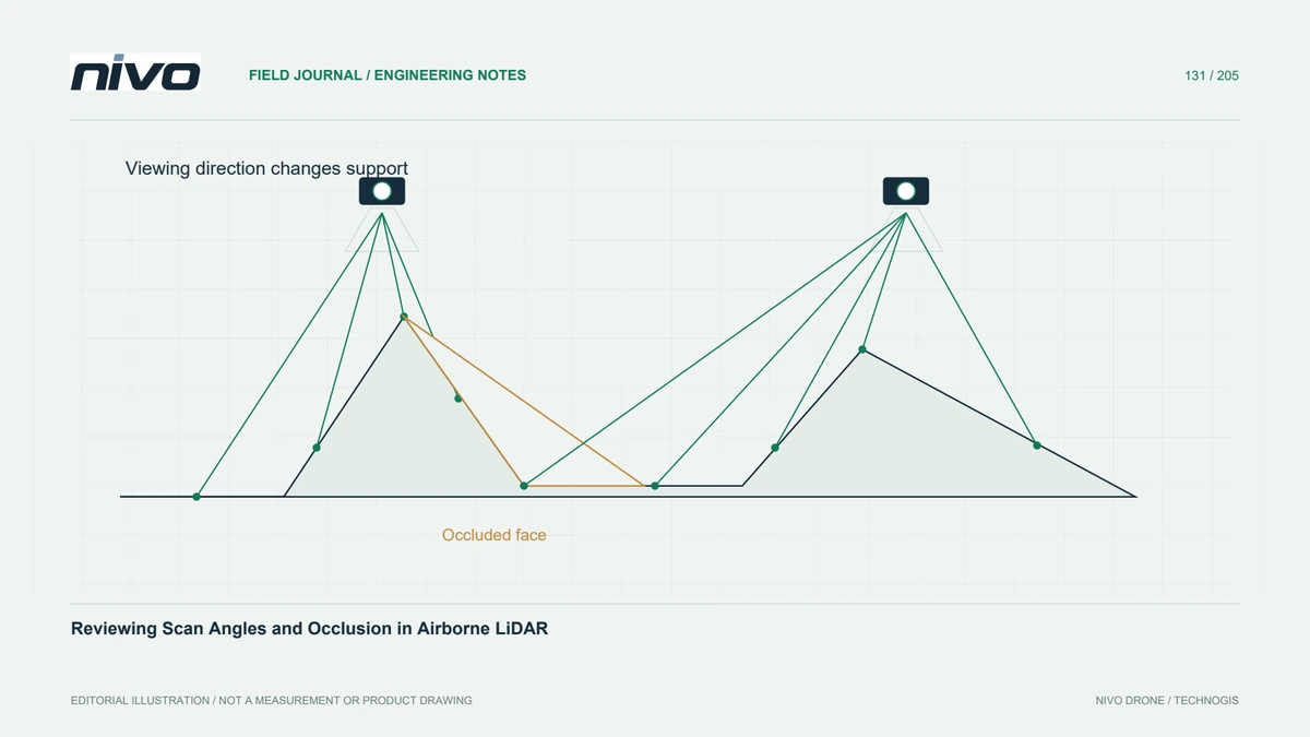
Scan angle describes acquisition geometry, but a point's usefulness also depends on the surface facing the beam, intervening objects, and the surrounding observations. A swath edge across open flat ground is different from a steep slope hidden behind a ridge. Review angles as diagnostic evidence connected to terrain and objects, rather than treating a histogram alone as a completeness assessment.
Check the angle field's definition
Confirm how the delivered format and software express scan angle, including units and any scaling applied during reading. Distinguish the scanner-related field from the angle between a beam and the local surface normal. The two are not interchangeable. Inspect several known records and the acquisition metadata before constructing filters that might remove a large portion of a swath unintentionally.
Compare strips within similar conditions
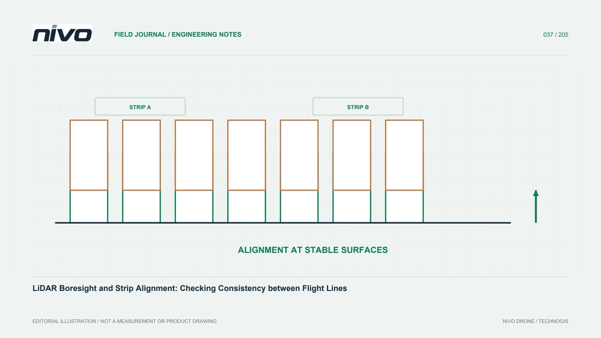
Group observations by flight strip or another reliable source identifier, then compare similar land cover and slope conditions. A distribution dominated by large angles may warrant closer inspection, but broad differences can also reflect distinct terrain. Examine signed elevation differences and profiles where strips overlap. Attribute problems to evidence rather than assuming every discrepancy has the same geometric cause.
Identify occlusion rather than just low counts
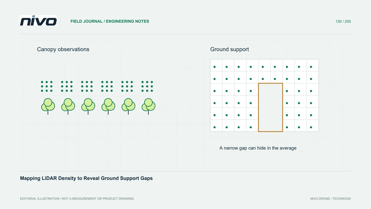
An occluded surface may have few or no direct observations even when nearby objects carry dense returns. Inspect behind buildings, beneath overhangs, and on slope faces oriented away from the viewing direction. A smooth interpolated surface can bridge these gaps convincingly. Mark the extent of unsupported interpretation and avoid presenting apparent continuity as proof that the concealed ground was measured.
Use a targeted acquisition response
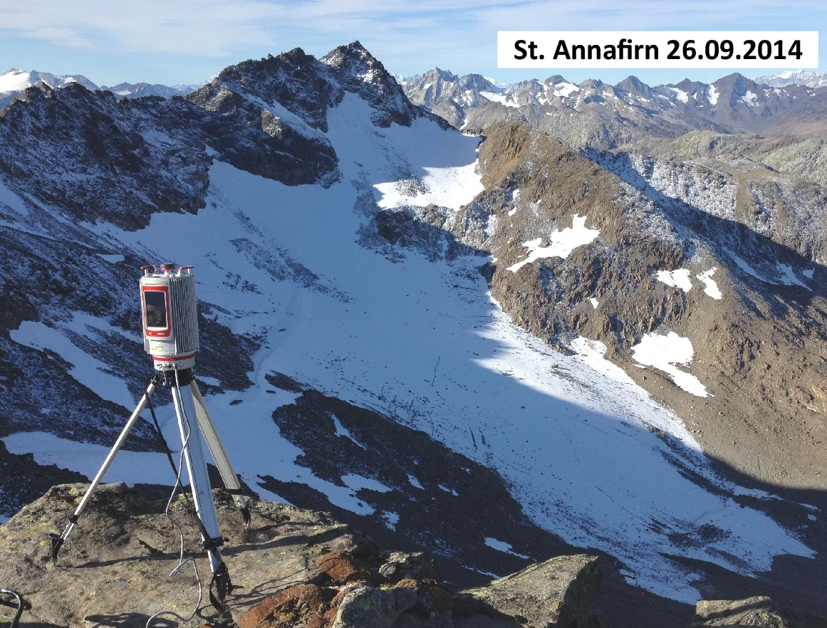
In a hypothetical quarry access survey, compare the two sides of a steep cutting. If one face lacks observations, consider whether a different viewing direction, an additional suitable platform, or a ground measurement would address the actual obstruction. Merely increasing point output along the same obstructed direction may not help. Any supplementary operation still needs its own feasible access and safety planning.
Keep the interpretation in the report
Deliver angle summaries with their definitions, representative profiles, identified occlusion areas, and the resulting use restrictions or supplementary observations. Retain separate evidence for geometric consistency and absolute accuracy. Acceptance should confirm that critical surfaces have appropriate observed support, or are explicitly excluded, rather than claim that meeting a generic scan-angle limit makes every point suitable for every engineering task.