Using Hillshade Without Mistaking Illumination for Measurement
Use complementary illumination directions to inspect terrain structure, while retaining the elevation model, documenting exaggeration, and checking suspected features.
Treat shading as a viewing aid
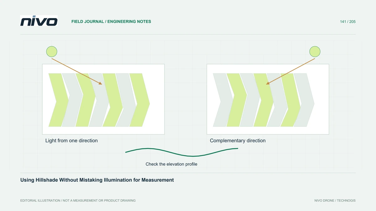
Hillshade converts an elevation surface into simulated brightness under a chosen illumination geometry. It can reveal banks, terraces, and processing seams that are difficult to see in an orthomosaic. Brightness is not elevation, slope, reflectance, or an observed shadow. Explain that distinction whenever shaded relief is included in a report, especially if the image will be reused without its original GIS context.
Inspect more than one illumination direction
A feature aligned with one light direction may appear subtle while the same feature becomes prominent under another. Compare complementary azimuths or a documented multidirectional rendering before concluding that a lineament is absent. Changing the virtual light can also reverse the apparent convexity of an unfamiliar surface. Use elevation values and profiles to establish whether a suspected feature is a ridge or a depression.
Control units and exaggeration
Check the relationship between horizontal and vertical units before shading. Vertical exaggeration can make subtle features easier to inspect, but it also changes their apparent prominence. Record illumination azimuth, altitude, scaling, and exaggeration rather than allowing an attractive default to imply natural proportions. Use consistent settings when comparing survey dates so visual differences are not produced solely by a changed rendering recipe.
Separate terrain features from artefacts
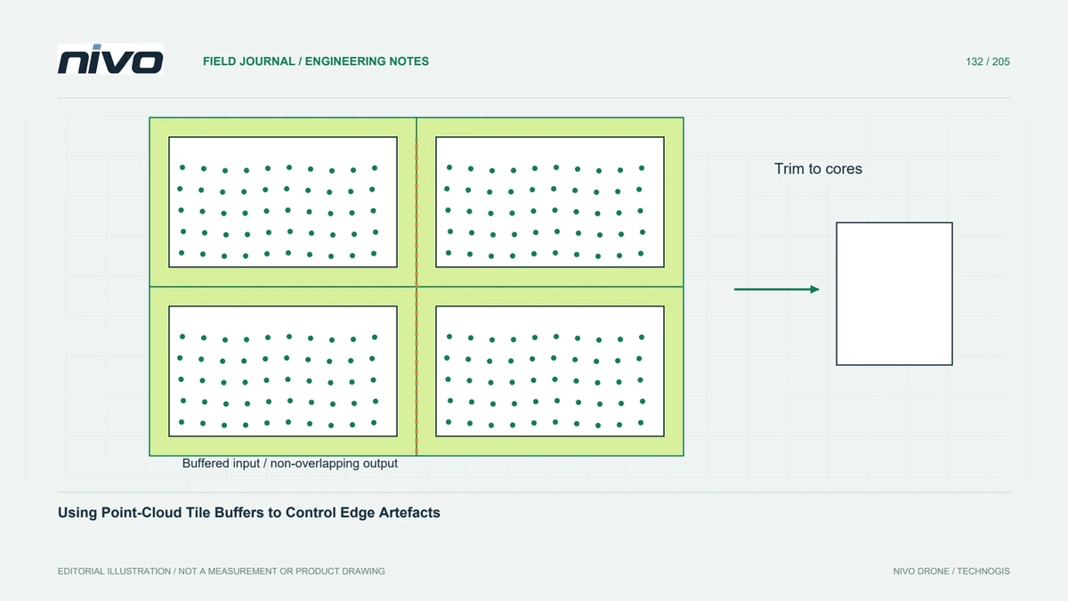
Regular linear patterns can originate from strip misalignment, tile boundaries, interpolation, or classification defects. Compare their direction and spacing with processing metadata and flight geometry. A hillshade may expose such defects very effectively, but it cannot identify their cause alone. Inspect the corresponding points or elevation profiles before interpreting a repeated band as a real drainage line, terrace, or geological structure.
Build a useful comparison layout
In a hypothetical earthworks review, place an orthomosaic, two complementary hillshades, and a measured profile around a suspected shallow channel. Keep their extent and orientation aligned. If the feature persists in elevation and is supported by observations, describe its geometry cautiously. If it appears only under an exaggerated rendering or follows a tile seam, return to the processing record before reporting a physical feature.
Preserve analytical data alongside the image
Deliver the elevation raster and its metadata separately from shaded presentation images. Include the rendering recipe, legend context, and any areas excluded because the underlying surface is unsupported. Acceptance should demonstrate useful visual inspection and traceability to measured heights. A polished hillshade supports communication and quality review; numerical decisions should use the appropriate elevation or derivative dataset rather than pixel brightness from the illustration.