Viewshed Analysis With Explicit Observer Heights and Surface Models
Define observer and target heights, terrain obstacles, coverage limits, and sensitivity checks before interpreting a drone-derived visibility map.
Define the visibility question
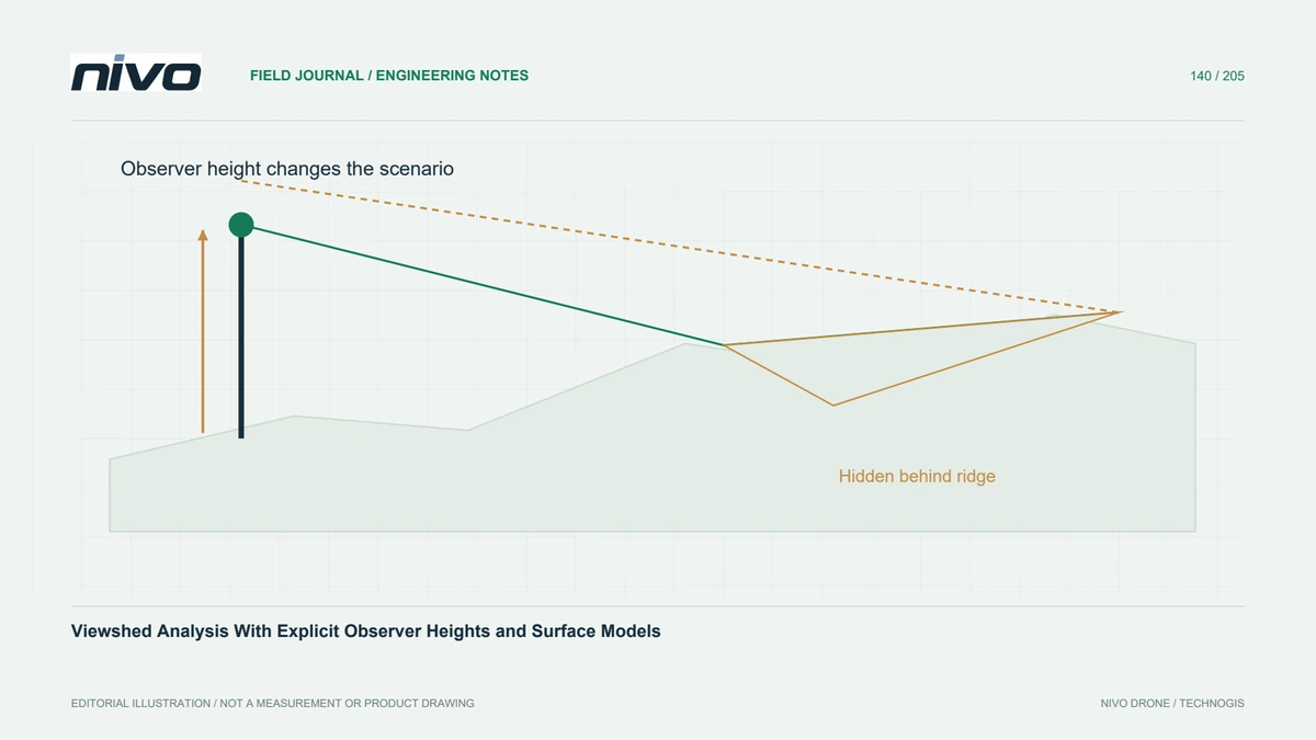
A viewshed estimates which locations are geometrically visible from a specified observer under a defined surface model. Begin with the operational question: looking toward ground features, a raised target, or a point on a structure. These are different scenarios. State the observer location, viewing height, target height convention, and intended interpretation before selecting a convenient point on a drone map.
Choose terrain or surface obstacles deliberately
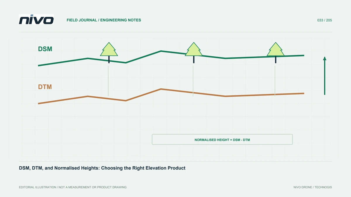
A bare-earth terrain model omits many buildings and trees that can block real sightlines. A surface model may include those obstacles but can represent vegetation as an opaque outer surface rather than individual gaps. Choose the model according to the question and explain its limitations. Combining datasets from different dates also requires checking whether relevant structures or canopy conditions have changed.
Check height references and units
Distinguish a height above the input surface from an absolute elevation. If an observer is located on a roof already represented in the raster, adding a full building height again can raise the viewpoint incorrectly. Confirm horizontal coordinate units and elevation units, and use a suitable projected analysis setting where the tool requires it. Test the viewpoint on a profile before computing a large area.
Review distance and boundary assumptions
Maximum distance, raster resolution, Earth-curvature treatment, and any refraction assumptions can affect results. Use settings appropriate to the analysis extent and document the software's conventions. Missing terrain beyond a clipped boundary does not prove an unobstructed view. Mark unknown areas separately from visible and hidden areas so a display colour does not conceal a lack of supporting elevation data.
Test critical lines of sight
In a hypothetical monitoring-position study, compare several feasible observer heights and inspect lines toward critical features. Use terrain profiles to identify the obstruction responsible for each disputed result, then compare with field photographs or a site visit. Small changes near an obstruction can alter a binary classification. Report these sensitive locations rather than using a single raster to promise universal visibility.
Report scenarios rather than a universal answer
Deliver the input surface version, viewpoint definitions, target convention, distance limit, and relevant model settings with scenario maps. Preserve the critical profiles used for checking. Acceptance should establish an understandable geometric screening result and its unresolved assumptions. Optical visibility does not by itself establish radio performance, inspection image quality, or permission to conduct an operation; those decisions need their own evidence.