Preparing Road Cross-Sections With Consistent Chainage
Define alignment direction, stationing, left and right offsets, section support, and elevation references before generating road profiles from drone terrain.
Freeze the alignment and stationing rules
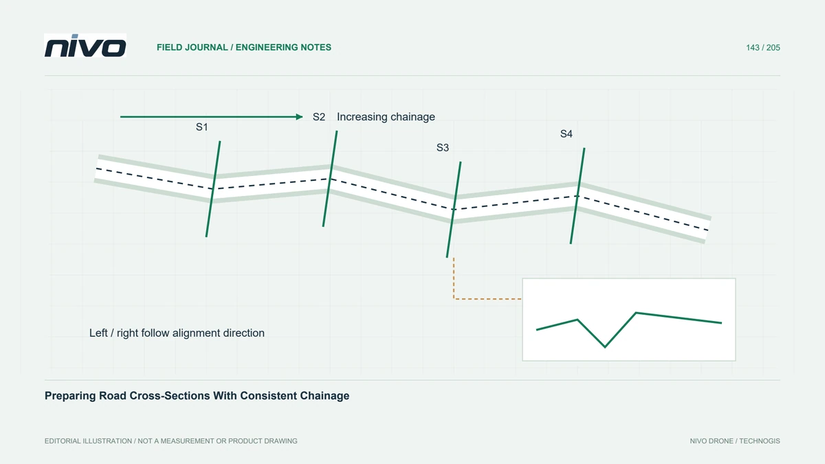
A road section is positioned relative to an alignment, so its interpretation depends on more than the terrain raster. Confirm the alignment revision, start point, direction, and stationing convention before generating profiles. Where station equations or discontinuities exist, preserve their definitions. A section labelled with a familiar chainage can refer to a different physical location if another team uses an updated alignment.
Define left and right consistently
State how left and right offsets are assigned when looking in the direction of increasing chainage. Keep that convention consistent in tables, drawings, and exported geometry. Reversing an alignment can swap sides even when the line looks identical on a map. Test a known feature on one side of the road so an unnoticed sign reversal does not reach the engineering handover.

Choose sampling that captures relevant geometry
Regular station intervals provide a useful framework, but add sections at culverts, sharp terrain transitions, junctions, and other relevant changes. Across each section, choose sampling that represents banks, shoulders, and drainage features rather than only a smooth sequence of equally spaced values. A small sampling interval cannot recover details that the underlying terrain model failed to observe or preserve.
Distinguish a terrain profile from a cloud slice
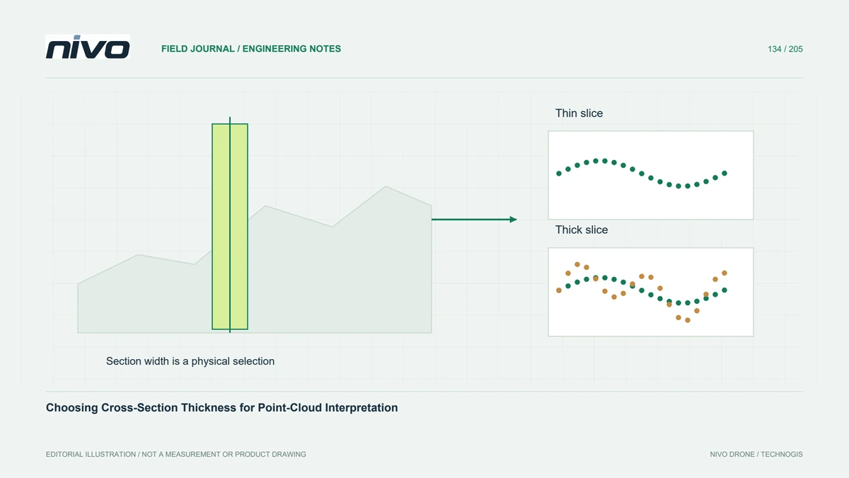
A profile sampled from a terrain raster follows a modelled surface. A point-cloud slice selects observations within a finite thickness and can mix geometry along the road. These products answer related but different questions. Record the chosen method, interpolation rules, and slice thickness where applicable. Avoid presenting the envelope of a thick mixed slice as an exact section through the alignment station.
Check structures and coverage changes
In a hypothetical rehabilitation corridor, check sections at an open embankment, a bridge approach, and a shaded drainage crossing. Confirm the intended ground surface and note areas beneath structures that are inferred rather than measured. Compare selected offsets with independent observations or reviewed cloud profiles. Mark missing support explicitly instead of extending a smooth line across an unobserved ditch or outside the survey coverage.
Deliver sections with reconstructable coordinates
Deliver the alignment version, station coordinates, bearing, offset convention, height reference, source terrain, and extraction settings with the section set. Include a small index map and identify supplemental stations. Acceptance should allow another analyst to reconstruct a selected section and locate its key features correctly. This reproducibility matters more than a polished drawing whose station labels, side conventions, or source surface cannot be traced.