Designing Field Samples That Actually Test a Drone Crop Map
Choose crop-map verification samples across ordinary and difficult conditions, keep them independent from tuning data, and preserve timing and spatial identity.
State the claim being tested
A sampling plan depends on the proposed interpretation. Testing whether a map locates sparse cover differs from evaluating a relationship with plant nutrient status. Define the claim and the observation needed to challenge it before visiting the field. MicaSense recommends agronomic involvement in index interpretation, while university sampling guidance explains why sample quality matters. Neither source turns every colored zone into a diagnosis. The project must identify its own testable question and responsible specialist.
Separate development from verification
Locations used to select thresholds or train a classifier should not silently become the independent proof of its performance. Keep a record of which samples served each purpose. If the field dataset is too small for a proposed evaluation, state the limitation rather than claiming independence that does not exist. A useful plan can begin as an exploratory trial, but its label should reflect what the evidence actually supports and what remains to be tested.
Include ordinary and difficult conditions
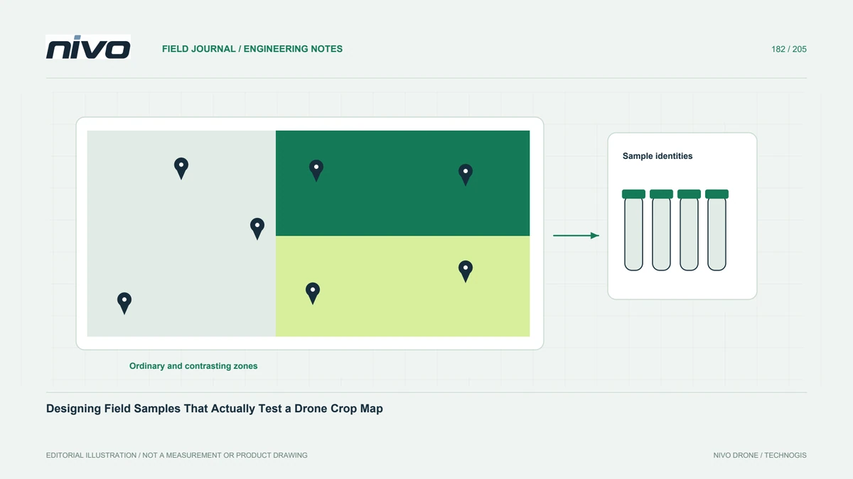
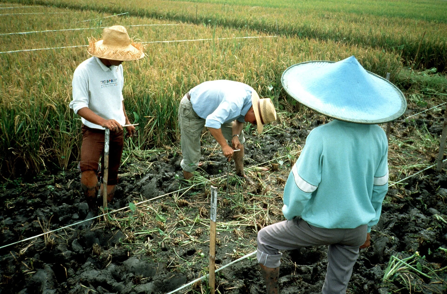
Choose observations across the relevant range of cover, crop stage, soil background, shadows, and management zones. Do not visit only dramatic map anomalies. Ordinary-looking areas can reveal missed problems, while difficult boundaries can expose classification errors. Record why each location was selected. If a statistical sampling design is required, involve suitable expertise instead of presenting a convenience walk as a representative estimate of the entire property without an explained basis.
Match the scale of observation
A leaf measurement, a row section, a planting position, and a parcel average represent different spatial supports. Define how each field observation corresponds to the image analysis unit. Record location uncertainty and avoid assigning a small ground sample to a mixed boundary pixel without review. Photographs and field notes can help reconstruct the relationship. The comparison must concern the same relevant object, not merely two values sharing a nearby coordinate on a map.
Keep timing and procedures identifiable
Record observation date, image date, crop stage, recent irrigation or treatment, and the field method. Follow the appropriate specialist procedure for any physical sampling. Changes between visits may explain disagreement, particularly in rapidly developing crops. Preserve sample identity through laboratory or analytical steps where used. Do not combine differently collected observations into one validation table without noting their differences, because the apparent relationship may reflect inconsistent procedures rather than the map's actual usefulness.
Report disagreement constructively
Summarize supporting and conflicting observations, uncertainty, and the decisions they justify. Do not remove inconvenient samples simply to strengthen an expected correlation. Identify whether another observation, revised map unit, or narrower interpretation is needed. Deliver the sample register alongside source layers and analysis versions. Bring this verification requirement to NiVO sensor consultation so the payload serves the information need. Success means a defensible test of the crop map, not a predetermined conclusion that every selected technology must work.