Drone Weed Scouting: Separate Suspected Patches from Verified Species
Use aerial patterns to prioritize weed scouting while documenting crop confusion, field identification, map uncertainty, and the separate assessment needed for treatment.
Specify a scouting product
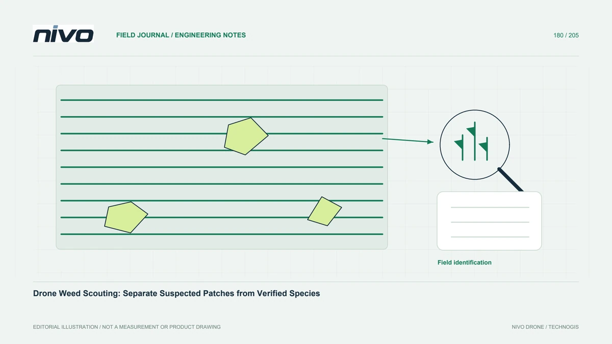
A useful first deliverable can be a map of suspected non-crop vegetation requiring examination. That is different from verified species identification or a ready-to-apply treatment prescription. Agree the distinction before selecting a sensor or classifier. Penn State identification guidance places pest recognition within a broader management process. Define the crop, growth stage, field extent, and person responsible for verification so the map supports a real scouting task rather than an unsupported botanical claim.
Test what the imagery distinguishes
Weeds may resemble the crop or be hidden beneath its canopy. Review representative original images containing crop, bare soil, residue, and suspected patches. RGB shape and texture or multispectral differences may help select targets, but neither automatically distinguishes every species. Record the scale at which the suspected patch remains visible. If the target cannot be separated in the actual data, changing the legend or applying a stronger classifier does not create missing observations.
Keep training and checking independent
If an automated method is used, separate examples used to develop it from locations used to evaluate performance. Include ordinary crop areas and difficult mixed patches in the checks. Record false alarms and missed patches, not only successful detections. A model trained on one field or season should not be assumed to generalize without review. Preserve the labeling rules and source examples so another analyst can understand what the model was actually taught to recognize.
Verify species and field context
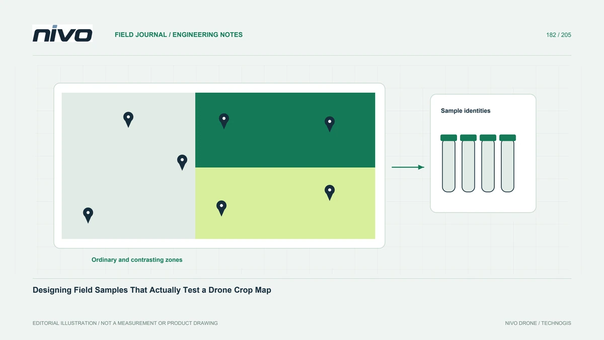
Send a competent field observer to mapped candidates and relevant comparison areas. Link identification notes and photographs to stable patch identities, recording the date and any uncertainty. The observer may find crop volunteers, another cover type, or vegetation below the camera's visibility. Retain disagreements rather than silently editing the field record to fit the map. Verification should explain the practical meaning of the suspected pattern and identify where additional expertise is needed.
Separate observation from application planning
A verified patch still requires an appropriate management assessment. Product suitability, crop stage, equipment capability, and applicable instructions belong to that separate decision. Do not convert an aerial vegetation class directly into dosage or a chemical mixture. Drone application guidance is location- and product-specific and should not be transferred as universal permission. The scouting map can identify where a question exists while qualified personnel determine whether and how any action should proceed.
Deliver a status-based patch register
Provide suspected, verified, rejected, and unresolved patch statuses with source links and field observations. Record imagery limits and areas not adequately seen. Ask a scout to relocate a sample patch using the handover alone. Discuss RGB or multispectral detail with NiVO using these examples, and keep Agrios application consultation tied to separately confirmed requirements. Success is a traceable scouting process that informs management, not a claim that a colored aerial map has already identified every weed and prescribed its control.