Reviewing Unexpected Reflectance Values Without Hiding the Evidence
Investigate negative or unusually high reflectance outputs through units, scaling, metadata, source images, and quality masks before altering analytical values.
Confirm what the numbers represent
An unexpected raster value is not interpretable until the output quantity is known. Check whether the layer contains digital numbers, radiance, reflectance, scaled integers, or a display product. Record units, scale factors, and invalid-data conventions. A value that looks excessive in one representation may have a different meaning in another. Begin with the processing documentation and actual file metadata instead of applying a presumed valid range to every sensor and software output.
Locate the unusual observations
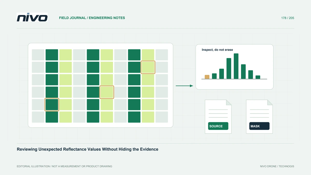
Map suspicious values and inspect whether they follow shadows, boundaries, bright objects, seams, or whole processing blocks. Compare individual bands and representative source images. Record the method used to identify candidates, including any threshold chosen for review. Do not immediately replace all unusual numbers with zero. Their spatial pattern can be diagnostic evidence, and deleting it before investigation may make the underlying collection or processing problem harder to explain.
Review calibration associations
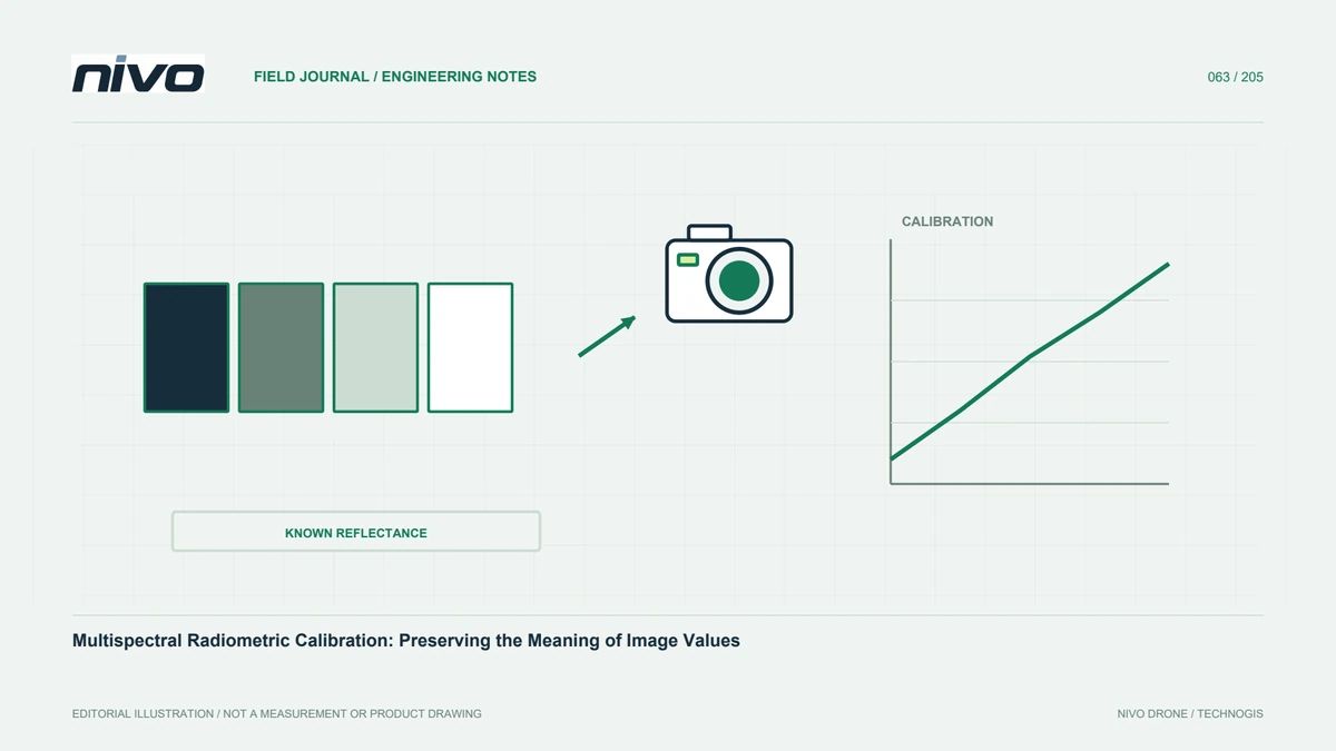
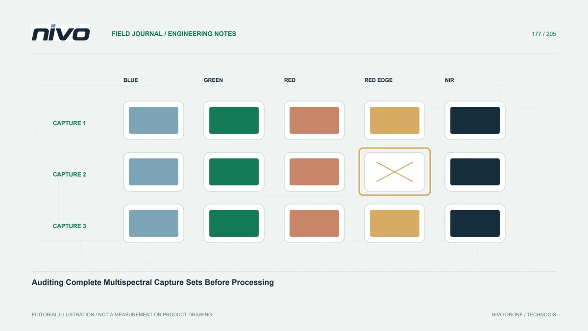
Check device identity, calibration references, exposure metadata, and the correction path actually used. MicaSense provides a documented radiometric workflow for its data; another sensor requires its own parameters. Do not borrow coefficients to make a histogram look reasonable. Confirm that reference images belong to the relevant device and observation. If an association is missing, describe it explicitly and limit interpretation rather than allowing a completed software run to stand in for verified inputs.
Distinguish noise from transfer mistakes
Negative or unusual outputs can require context-specific interpretation. NASA's MODIS discussion shows why such values need product-quality information, but satellite-specific flags must not be transferred directly to drone imagery. Review conversion, numerical precision, scaling, and invalid-data handling in the actual workflow. Compare accepted reference areas and retain contradictory evidence. The purpose is to identify a defensible explanation, not select whichever correction produces the smoothest-looking agricultural map.
Apply documented quality decisions
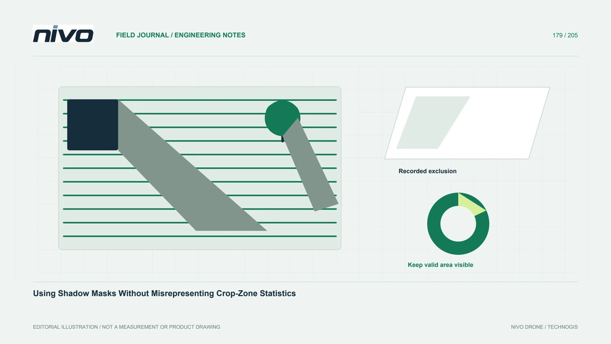
If exclusion or masking is justified, keep the original raster and record the rule, affected area, and analytical consequence. Separate missing data from a genuine zero measurement. Test whether parcel summaries change materially under the proposed treatment. Avoid clipping values simply to fit an attractive legend while preserving an unsupported quantitative claim. Where the cause remains unresolved, use an explicit review status or bounded qualitative interpretation rather than silently manufacturing certainty.
Deliver the audit alongside the map
Provide output definitions, inspected examples, accepted masks, and remaining limitations with the analytical dataset. A recipient should be able to reconstruct which observations entered each statistic. Discuss unresolved device or metadata questions with the NiVO payload team and sensor support. Successful quality review preserves the meaning of the measurements and the reasons for exclusions; it does not require every pixel to look ordinary or pretend that one universal reflectance rule applies to all cameras.