Using Shadow Masks Without Misrepresenting Crop-Zone Statistics
Define and review shadow exclusions, retain valid-area denominators, and distinguish an unobserved shaded crop from a genuinely low vegetation response.
Define why shadows matter
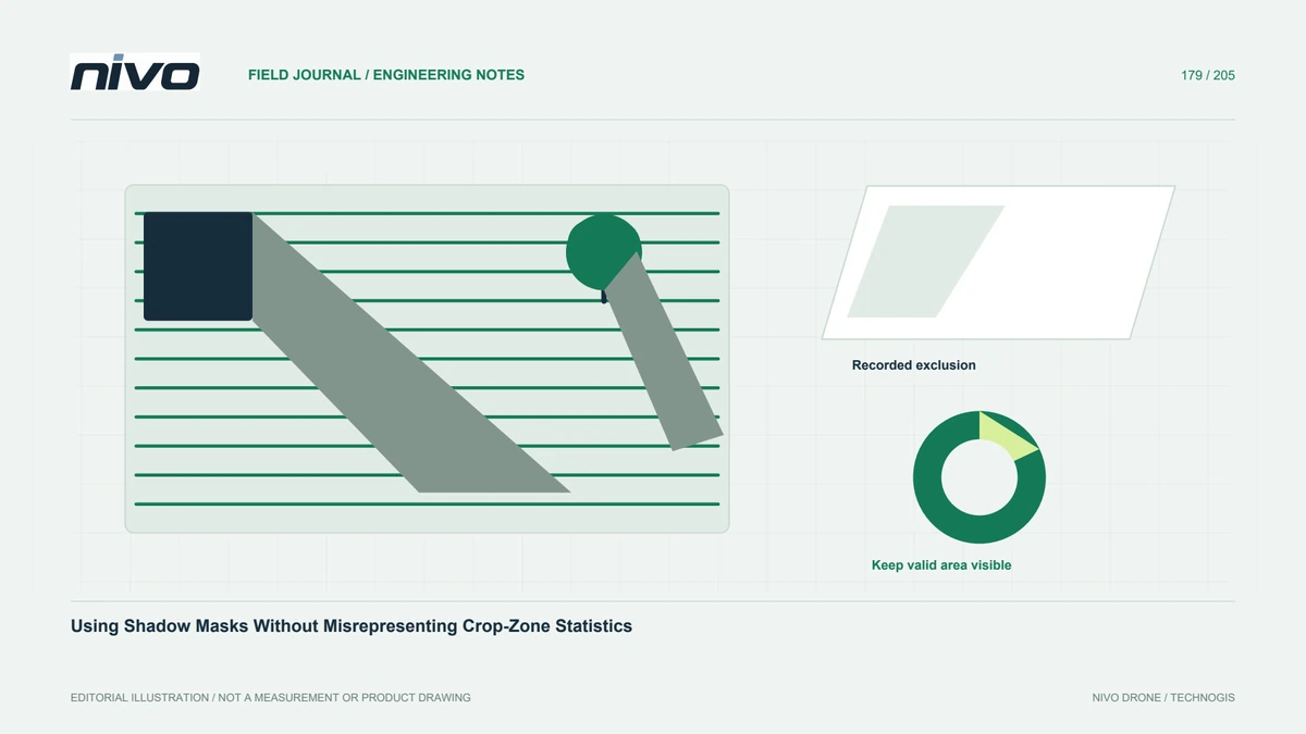
A shaded canopy can look different because its illumination differs, not because its biological condition changed. MicaSense collection guidance recognizes shadow effects on multispectral results. Determine whether the assignment needs a canopy-only statistic, a whole-parcel description, or a comparison requiring more consistent observation. The masking decision follows that purpose. Do not begin by removing every dark pixel, because soil, water, dark material, and genuine plant variation may also appear dark in the data.
Inspect the source context
Compare candidate shaded areas with RGB context, individual bands, and original photographs. Check whether the pattern follows trees, buildings, clouds, or another recognizable source. Distinguish a physical shadow from invalid data or a processing seam. Keep examples from several canopy conditions rather than tuning the rule around one obvious tree shadow. A good review explains what the mask identifies and where it may confuse other surfaces with the intended exclusion.
Record the mask rule
Document the inputs, thresholds or classification method, processing version, and manual edits. Preserve the unmasked analytical raster. If the rule changes between dates, explain the change before comparing statistics. A mask is a derived product with uncertainty, not an invisible cleaning step. Keep ambiguous cases available for inspection and avoid using a threshold copied from another sensor as if it were validated for the current crop, lighting, and image scale.
Keep the denominator visible
When pixels are excluded, report the remaining valid area or count alongside zone statistics. Two parcels with different excluded proportions may not represent equally complete observations. Do not label a heavily masked parcel with an apparently precise average and no coverage context. Review whether the surviving pixels are representative or concentrated in a particular part of the canopy. A technically correct mean can still answer the wrong question if most shaded plants have disappeared from the calculation.
Test sensitivity before interpretation
Compare summaries with and without the proposed mask in representative zones, then inspect why they differ. Do not select the version that best supports an expected management conclusion. If the result depends strongly on uncertain exclusions, limit interpretation or request better observation conditions. Field checks should include shaded and unshaded examples where practical. The objective is an explainable analytical decision rather than maximizing visual uniformity or removing inconvenient values from a map.
Deliver exclusions as information
Provide the mask, valid-area summaries, inspected examples, and limitations with the crop layer. Clearly separate excluded areas from areas showing an observed low response. Use the review to improve future collection timing and configuration through the appropriate NiVO payload discussion. Successful masking preserves the meaning of the remaining evidence and makes the missing observation visible, rather than converting shade into an unsupported crop-health category or hiding incomplete coverage inside a polished statistic.