Choosing an RGB Camera for Defensible Drone Mapping
Choose an RGB mapping camera by connecting data requirements, lenses, shutter behavior, aircraft integration, field testing, and independent checks of the final outputs.
Start with the decision the map must support
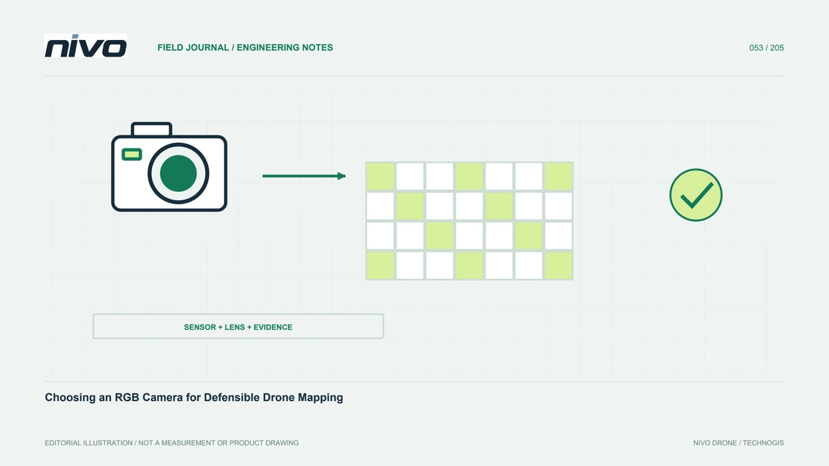
Choose a camera around the decision that will use the survey. Identifying access routes, documenting surface details, and measuring material volumes require different information. Describe the smallest relevant feature, positioning requirements, project extent, and final deliverables before comparing specifications. Megapixels then become one planning input rather than the purchasing objective. A consistent acquisition workflow may contribute more than additional pixels captured with changing settings. Agree the acceptance criteria with the people receiving the data so that everyone understands what a successful survey must demonstrate.
Connect the sensor, lens, and flying height
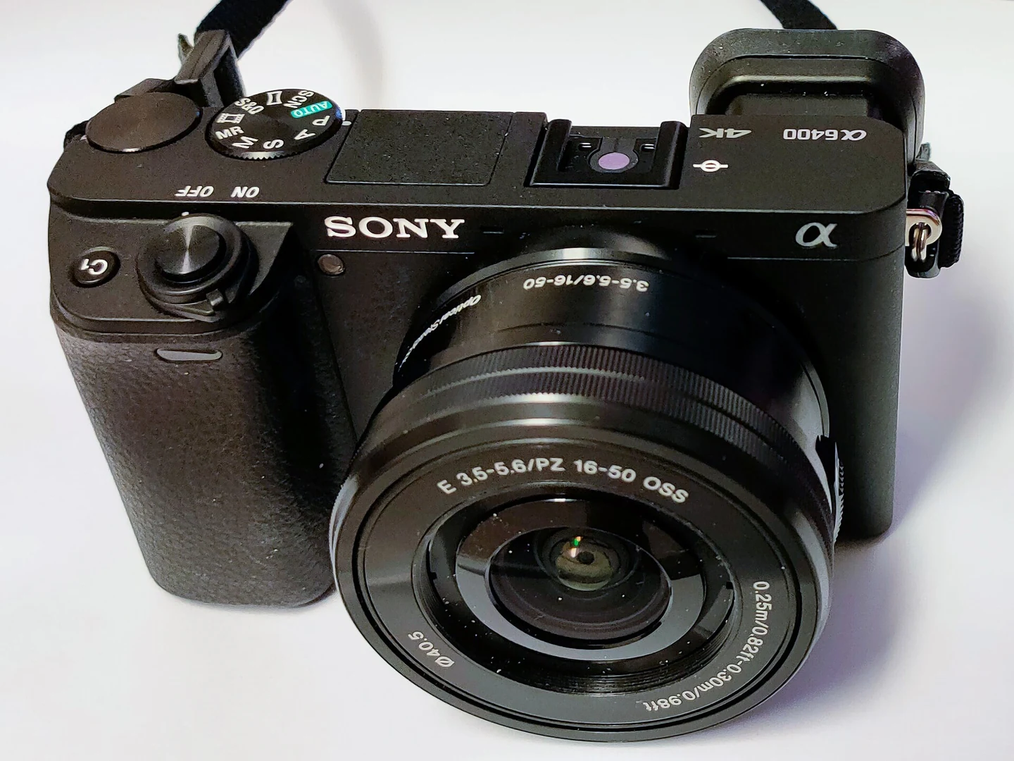
Sensor dimensions and focal length determine coverage together with the camera's distance from the surface. A higher-resolution sensor does not necessarily cover more ground if its lens is longer. Very wide coverage can also increase attention to edge distortion and changing scale over relief. Model coverage using the actual sensor, image dimensions, focal length, and planned height above the subject. On slopes, distance to the ground can change along the route. Check that detail and overlap remain suitable throughout the block.
Assess recorded sharpness rather than screen magnification
Digital enlargement cannot recover texture lost through motion, incorrect focus, or poor lighting. Inspect original pixels on road edges, markings, vegetation, and building corners. Compare the center and edges instead of trusting a small preview. Test with motion and a mounting arrangement representative of flight, not only with a stationary camera. Persistent softness on one side deserves investigation of the mount, vibration, focus plane, and optics. Processing should not be assumed capable of repairing every acquisition defect after the survey.
Investigate shutter behavior and triggering time
Exposure duration affects how much movement is recorded within an image, while sensor readout can affect geometry during movement or vibration. Test the shutter mode actually intended for flight. Check whether capture intervals remain consistent while large files are written or the card fills. Late or missing captures can reduce overlap despite an apparently adequate route. Where GNSS is used for camera positions, establish whether timestamps describe a command, exposure start, or another event. Integration requires a testable timing relationship, not merely remote control of the shutter.
Create settings that operators can reproduce
Record a camera profile covering focus, aperture, ISO limits, white balance, file format, and shutter mode. Establish it through tests because no setting suits every lens, speed, and lighting condition. Avoid changing focal length within a mapping block unless calibration and processing explicitly support it. Define who may adjust settings and how changes are logged. Repeatable configuration helps distinguish field changes from equipment changes. A short preflight image check can catch settings left over from another job before they affect an entire survey.
Evaluate the complete installed payload
The installed system includes the lens, mount, cables, power supply, storage, and protective components. Camera body mass alone is insufficient. Consider clearances, card access, ventilation, connector strain, and the effect on aircraft balance. Test power stability during repeated capture and behavior after interruptions. Review NiVO integration for the chosen aircraft and actual installed configuration; a catalog entry does not approve the same camera for every airframe. Keep the test record so that later changes can be evaluated against a known arrangement.
Accept the system through final-output testing
Choose a trial area with texture, height variation, and relevant independent checkpoints. Capture a short block using operating settings and process it into the intended deliverables. Review alignment, blur patterns, edge coverage, and checkpoint results. Pixel size and internal software residuals do not establish absolute accuracy by themselves. Separate control-survey errors, coordinate problems, and image quality before choosing a remedy. Retain the dataset and processing settings as a baseline for changes to lenses, mounts, firmware, or triggering methods.
Balance purchasing and operating requirements
Compare candidates against project requirements and measured trial results. Include storage, transfer time, computing capacity, lens availability, service access, and the cost of repeating a survey. A larger camera can help one assignment while complicating another. State the lighting and terrain conditions under which a configuration has been demonstrated. Review the evidence with both aircraft and processing teams. The decision should connect required information, camera settings, integration limits, and routine verification rather than leaving image acquisition and final data quality as separate responsibilities.
Use a different decision matrix for different jobs
A team mapping farmland and documenting buildings may prioritize different attributes. Farmland mapping can emphasize coverage, stable intervals, and repeatable routes. Building documentation can place more weight on visible detail, viewpoints, and shadow handling. The same camera need not win both comparisons. Record why each configuration is accepted or rejected and retain supporting images. This gives purchasing staff an understandable link between cost and benefit while giving operators practical boundaries that are clearer than an instruction to use the best available camera.
Illustrative case: choosing evidence for an access-road map
Consider a hypothetical team preparing a map of an agricultural estate. The manager needs to distinguish access roads, drains, and small bridges, while the purchasing team initially asks for the camera with the largest pixel count. Instead of selecting immediately, the survey lead creates a short acceptance sheet showing representative features and the decisions each feature supports. Two candidate camera configurations capture the same trial block under comparable conditions. The reviewers inspect original images, processed coverage, and independent checks rather than comparing attractive previews at different display scales.
Suppose both configurations identify the required features, but one repeatedly produces missing images during the planned capture sequence. The team does not compensate by claiming that its higher resolution guarantees better mapping. It investigates triggering, storage, and route assumptions, then repeats the affected test. The decision record includes the installed lens and mount, accepted settings, example images, processing parameters, and reasons for the selected package. A separate list identifies questions the trial did not answer, such as behavior over different terrain. This example shows why a camera comparison should end with a documented ability to deliver specified information, rather than a ranking based only on sensor specifications.
For handover, the recipient receives a feature-by-feature evidence table rather than a statement that one camera is better. Accepting a lower-resolution setup that meets the agreed target differs from accepting a higher-resolution setup with unexplained gaps. Both decisions must show their basis. The trial is considered complete only when the processor can reproduce the sample output, the recipient can identify the required features, and the aircraft team can identify the installed configuration from its record without relying on the original operator's recollection.