Reading LAS Classification Flags Before Filtering a Point Cloud
Keep point class and classification flags distinct, document exclusions, and verify that filtering preserves the observations needed for each LiDAR deliverable.
Read class and flags as separate information
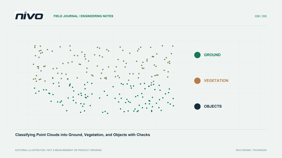
A ground classification describes an interpreted surface type, while flags can convey additional status such as withheld, synthetic, key point, or overlap. These meanings should not be collapsed into one informal category. A point's class alone may therefore be insufficient to decide whether it belongs in an analytical surface, a visualisation, or an archive intended to retain all observations.
Inspect the format before applying rules
Inspect the LAS version, point format, dimension names, and available status fields before writing filters. Different software interfaces may expose flags differently, particularly when older and newer formats are mixed. Read a small sample and confirm how the receiving library interprets the records. Avoid treating an absent field as proof that every point has a known negative status.
Turn inclusion into an explicit expression
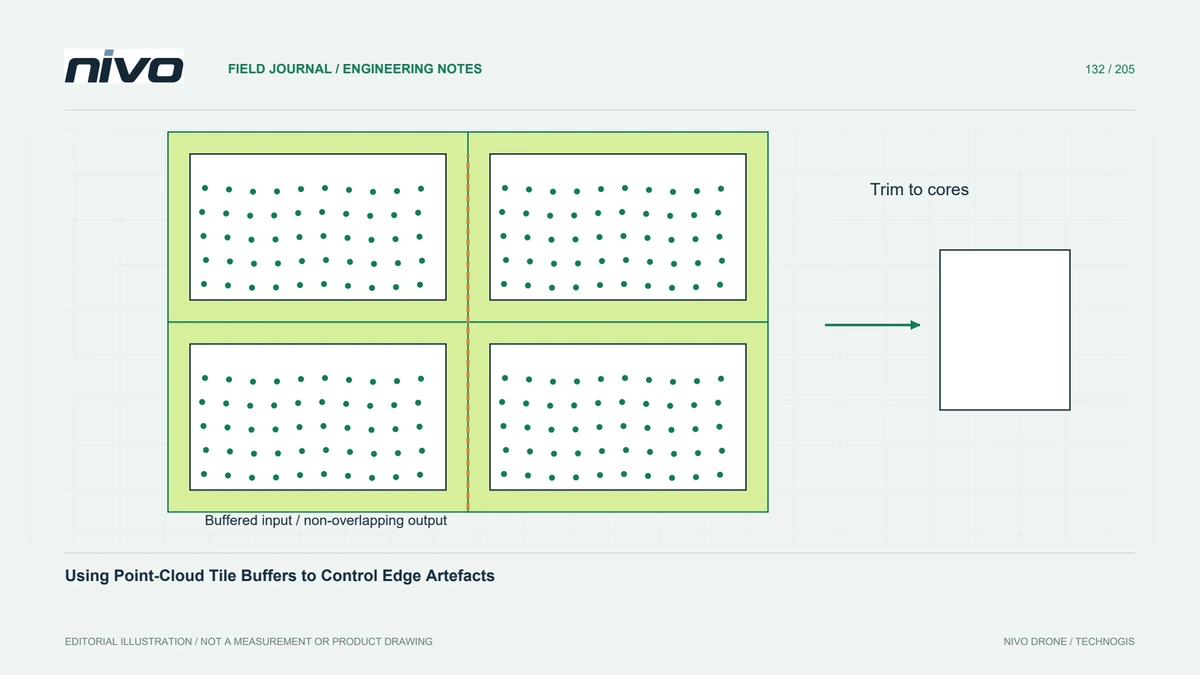
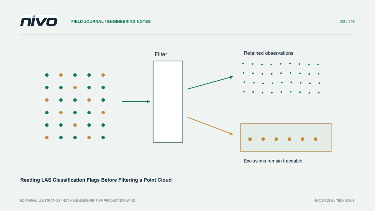
Express inclusion rules in a reviewable form, using both classification and relevant flags where required. State whether the goal is an unthinned archive, a ground-only terrain input, or a display subset. A broad rule that removes overlap points may reduce redundant observations but can also change local support. Its suitability depends on the product rather than a universal cleanup convention.
Keep an exclusion audit trail
Retain the unfiltered source and record counts for each exclusion reason. If several rules apply to one point, avoid presenting their separate totals as mutually exclusive losses. Save the processing expression and software version with the output. A reversible filtering decision is easier to explain than a cleaned file whose removed observations can no longer be traced.
Compare spatial effects rather than totals alone
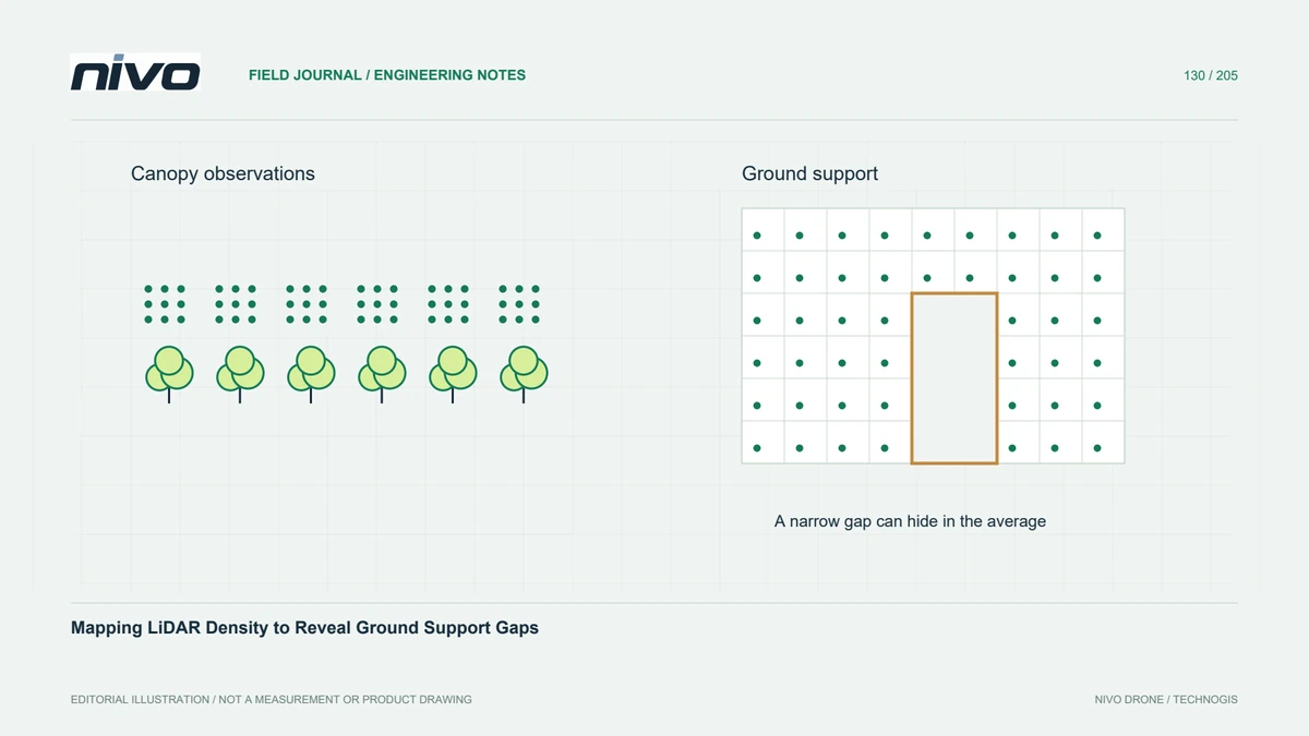
In a hypothetical embankment survey, compare retained points along flight-line overlaps, at the site edge, and near a steep toe. View the cloud by class and by status, then inspect profiles of both retained and excluded points. A modest change in total count can conceal a concentrated gap exactly where the engineering interpretation needs reliable supporting observations.
Agree on product-specific point sets
Prepare separate, clearly named outputs when archive, terrain modelling, and presentation require different point sets. Explain each inclusion policy in the manifest and test it on a sample containing known flag combinations. Acceptance should establish that the documented rules were applied consistently and useful attributes survived export. It should not imply that flag filtering by itself validates classification or corrects georeferencing.