Using RGB Emergence-Gap Maps to Guide Field Counts
Map suspected crop-row gaps as scouting targets, then verify plant presence, emergence timing, and field conditions before making a management decision.
Define a gap that matters
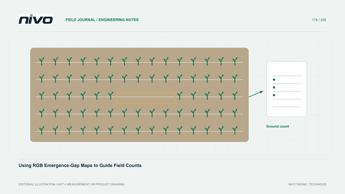
A dark or bare-looking segment between crop rows is not automatically a failed planting position. Agree what the map should identify: long interruptions, uneven establishment zones, or individual visible plants. The definition must fit image detail and crop stage. Begin with the management question, such as selecting field-count locations, rather than promising an automatic replant decision. A gap map is useful when it directs an observer to a clear, verifiable question.
Capture while the target is distinguishable
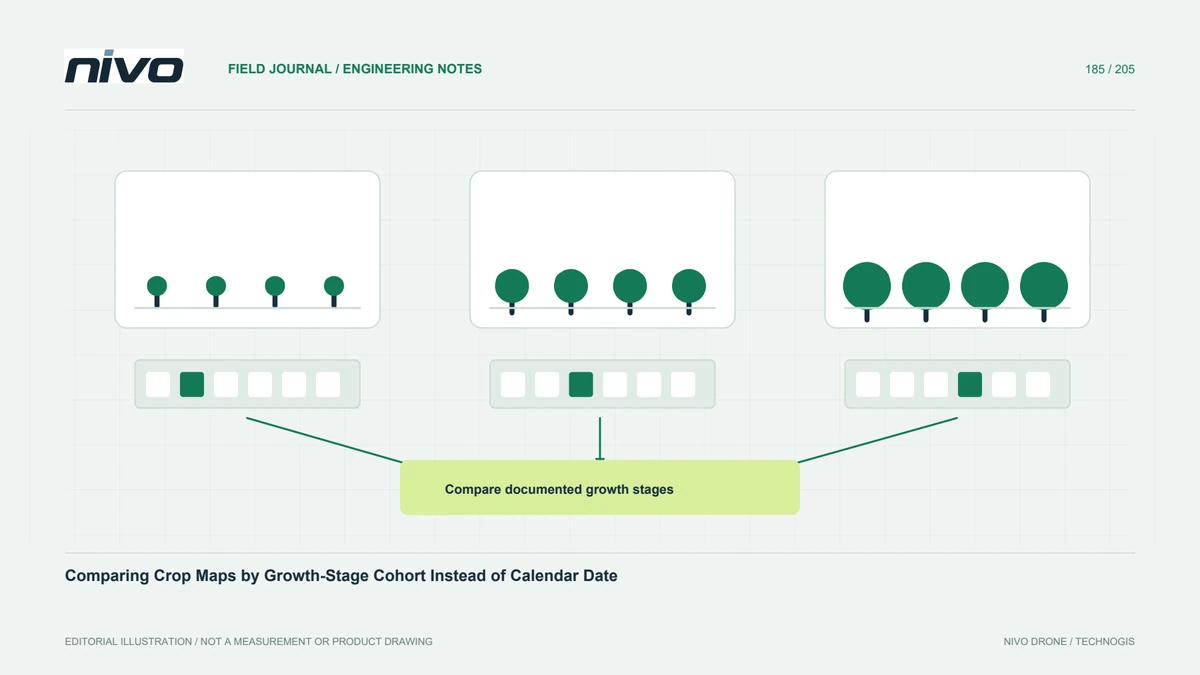
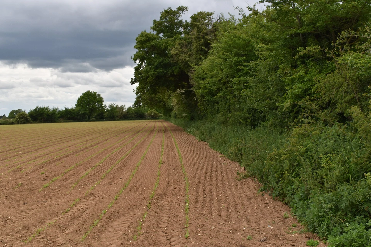
The useful observation window depends on crop development and surrounding cover. Plants may be too small to separate from soil at one visit and merged later. Review representative source photographs before committing to a full-field interpretation. Record planting dates, emergence observations, residue, and moisture circumstances. Do not apply one universal timing rule to every crop or climate. The field team should confirm that the expected gap or plant can actually be recognized.
Separate appearance from plant absence
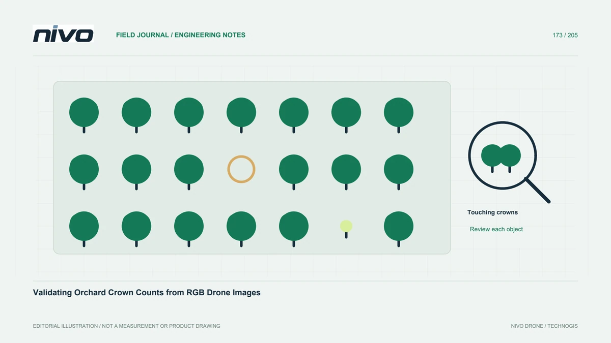
Shadow, residue, soil color, weeds, and mosaic artifacts may resemble missing crop. Compare suspected gaps in original photographs and inspect adjacent rows. Keep a review class for ambiguous segments. A simple vegetation threshold can also include non-crop plants, so it should not be presented as a verified stand count without testing. Describe what the imagery supports directly and retain uncertainty rather than assigning a precise biological explanation to every colored segment.
Design field counts beyond obvious problems
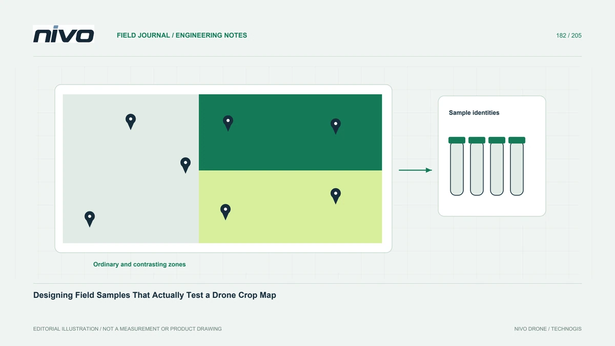
University of Minnesota guidance emphasizes evaluating representative areas and considering the distribution of remaining plants. Use the aerial map to include both unusual zones and ordinary comparison areas. Keep counted row sections identifiable and record the date. Field observations can reveal delayed emergence or plants not distinguishable from above. The sample should test the map's usefulness, not merely gather photographs confirming its most dramatic examples while ignoring less visible errors.
Keep agronomic decisions separate
A verified establishment difference does not by itself specify whether replanting is justified. Crop condition, timing, distribution, costs, and local agronomic context affect that decision. Provide the map and observations to the responsible crop adviser. Do not transfer numerical recommendations from a different region into the project. The drone team's role is a traceable spatial record and targeted evidence, with any management conclusion clearly attributed to the appropriate assessment rather than an image classifier.
Deliver a revisitable scouting layer
Assign stable segment or zone identifiers, attach source images and field-count records, and distinguish suspected gaps from verified observations. Record areas where image quality was insufficient. Ask another scout to locate several targets from the handover package. When consulting NiVO on RGB payload detail, use early-crop examples from the intended environment. Success means a practical scouting layer that reduces confusion about where to inspect, without claiming measured yield benefits or universally accurate plant counts.