Validating Orchard Crown Counts from RGB Drone Images
Define what counts as one tree, inspect touching crowns and missed young plants, and test orchard inventory results against independent field observations.
Define the inventory unit
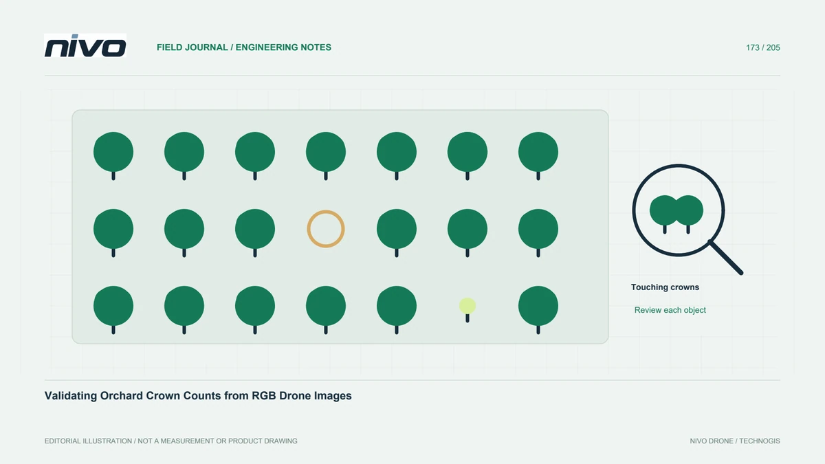
A visible crown is not automatically one living stem or one productive tree. Establish whether the orchard register counts planting positions, individual trees, or crown objects. Explain how replacements, missing positions, and multi-stem plants are represented. This definition controls both annotation and validation. A published USGS crown-mapping study illustrates that aerial inventories can distinguish individual crowns, crown portions, and patches; your orchard still needs rules matching its own management question.
Check whether crowns are separable
Review representative rows before choosing a counting method. Mature touching crowns, shadows, small replacements, and background vegetation can create different errors. Inspect original photographs as well as the mosaic because stitching can alter apparent boundaries. Mark uncertain cases rather than forcing every object into a confident count. A clean point layer is not evidence that the imagery actually distinguishes every tree needed by the inventory, especially where canopies overlap heavily.
Build a representative review sample
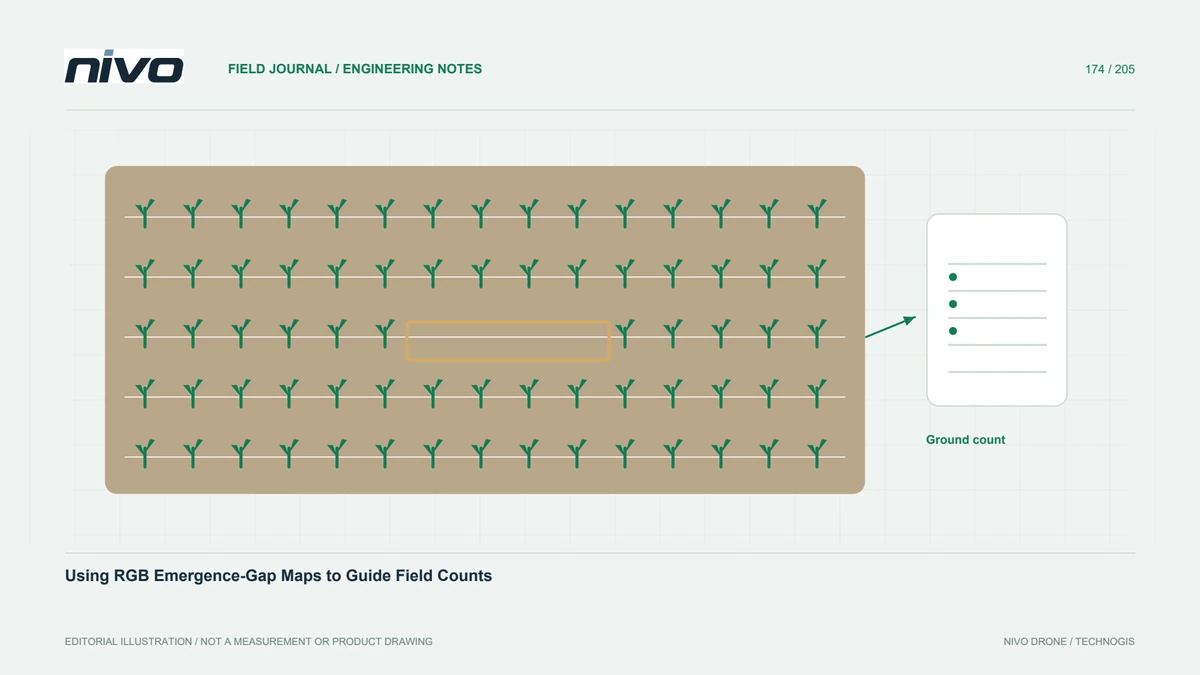
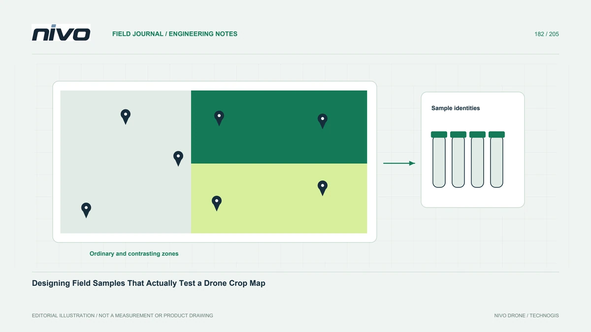
Choose checks across canopy sizes, row conditions, orchard edges, and difficult areas, not only the clearest rows. Keep the sample locations independent from any examples used to tune an automated method. Document how a field observer determines the true inventory unit. The sample must test likely error modes, including merged crowns and objects counted twice. An overall count alone can conceal opposing errors that cancel numerically while placing individual trees incorrectly.
Match detections to field identities
Compare mapped objects with identifiable planting positions or field records. Record omissions, extra detections, and cases where several trees were merged. Explain positional uncertainty where it affects matching. Do not treat a near-equal total as proof of an accurate spatial inventory. The owner may need the correct replacement location rather than simply an approximate tree count. Preserve the matched examples so reviewers can understand how acceptance decisions were reached.
Report uncertainty by condition
Summarize results for meaningful conditions, such as open young rows and closed mature canopies. If evidence is inadequate for a class, label it for manual review or another observation method. Avoid extending a successful trial in one block to every cultivar and season. Keep processing settings, image dates, and field-check dates with the results. Changes between acquisition and verification can also explain disagreements and should be investigated before attributing all differences to the algorithm.
Deliver an inventory that supports work
Provide stable tree or planting-position identities, review status, source links, and a clear distinction between observed and inferred entries. Test whether staff can find a selected missing or uncertain position in the orchard. Use the examples when discussing RGB payload detail with NiVO. Acceptance should show that the inventory serves its intended field task, with documented limitations, rather than promising universal automated tree counting or assuming that more megapixels resolve every overlapping canopy.