Choosing Point-Cloud Decimation Without Losing Critical Features
Compare voxel selection, spacing-based sampling, and simple thinning against feature size, retained attributes, and the purpose of the reduced LiDAR dataset.
Set a purpose for the reduced cloud
Reducing a point cloud can improve interactive handling or make a particular calculation practical, but the right method depends on what must survive. A presentation model has different needs from an inspection of narrow drainage edges. Define the retained features and attributes before choosing a target file size. Keep the original observations available so decimation does not become an irreversible replacement for evidence.
Distinguish a selected point from a new point
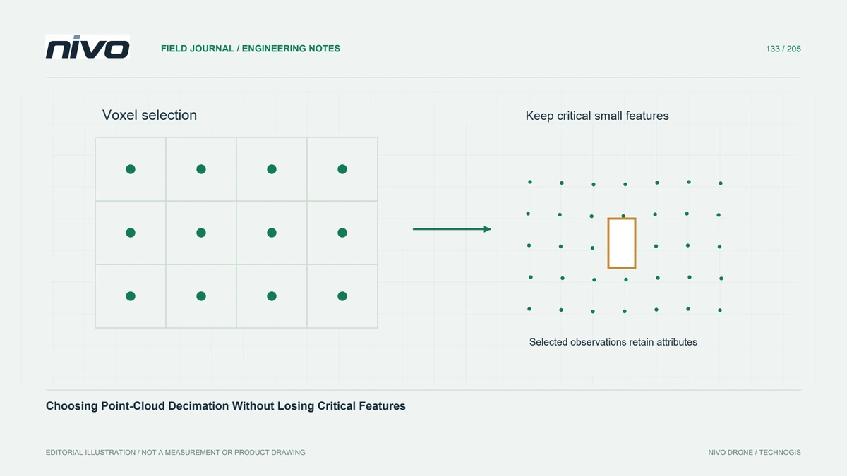
Some voxel methods select an existing observation, while other approaches create a representative position. These outputs have different implications for colour, classification, intensity, and identifiers. An average coordinate does not automatically have a meaningful average class or return number. Read the algorithm's documentation and inspect the output schema instead of assuming that every method preserves the source point record intact.
Choose spatial support deliberately
A three-dimensional voxel grid limits representation within occupied volumes, whereas spacing-based sampling controls separation according to its own rule. Retaining every successive point in a file may inherit acquisition order and uneven density. Compare the resulting distribution on both horizontal and vertical surfaces. A reduction that looks uniform in plan view can still remove useful detail from walls or steep terrain.
Protect small important features
Choose support size with the smallest relevant feature in mind. In a hypothetical retaining-wall survey, compare a reduced cloud with the full observations at the wall top, toe, and a narrow outlet. Check whether isolated but real features disappear and whether adjacent surfaces become mixed. A percentage reduction alone cannot explain these effects because initial density varies substantially across the site.
Check ordering and reproducibility
Document grid origin, cell size or spacing, point order where relevant, and the software implementation. Repeating a pipeline with reordered inputs may not yield the same selected observations for every algorithm. Test a representative subset twice under controlled settings, then compare retained positions and attributes. Where exact repeatability matters, preserve the resulting subset and its source mapping rather than relying on an informal recipe.
Keep reduced and authoritative outputs separate
Label the output by its intended use and report how the reduction was checked. Supply the original or an agreed full-detail extraction route when engineering decisions require it. Acceptance should demonstrate that required features remain interpretable and retained attributes have defensible meanings. A lighter cloud is a processing product with documented limitations, not evidence that redundant-looking observations had no analytical value.