Waypoint Acceptance and Camera Coverage Around Survey Turns
Separate waypoint completion from image coverage by examining navigation behavior, camera geometry, trigger timing, and usable observations at survey-line ends.
Do not treat waypoint completion as a photograph
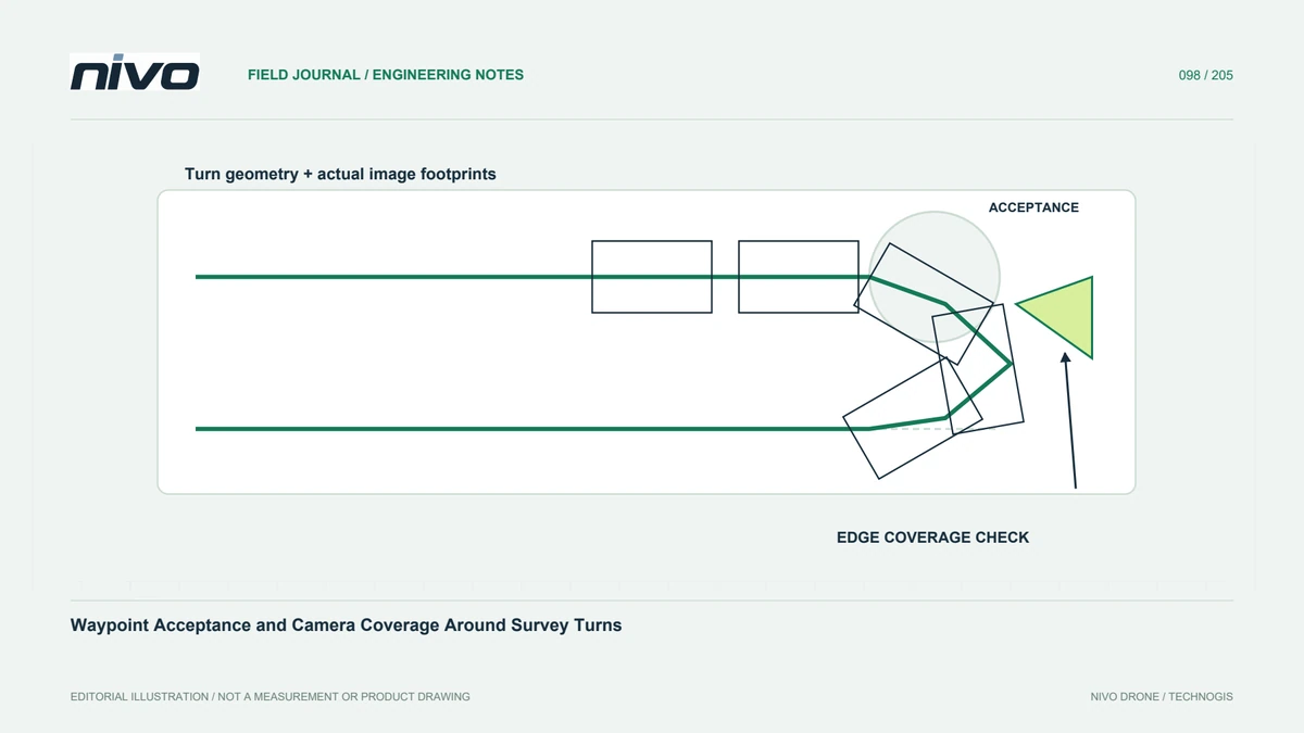
A navigation event indicates that the autopilot's completion logic was satisfied; it does not establish that a usable image exists at that exact coordinate. Identify the installed vehicle behavior and mission commands. Separate navigation waypoints from camera events. This distinction matters at survey edges, where a seemingly completed route can still leave weak observations or insufficient common imagery for the final mapping product.
Review turn behavior in its actual context
Turn initiation and waypoint acceptance depend on the documented navigation implementation and aircraft configuration. Avoid treating one radius field as a direct drawing tool for every flight path. Examine speed, geometry, operating limits, and the relationship between consecutive legs through the approved planning process. A map preview is useful, but it should not replace evidence that the actual aircraft can perform the intended path under the evaluated conditions.
Connect the camera footprint to the edge requirement
An image's position alone does not describe its useful ground coverage. Viewing direction, attitude, terrain, lens, and quality influence the footprint near a turn. State the boundary that the final product must support and the observations needed beyond it. Do not trim supporting coverage merely to make the route match a polygon. Any additional flying still requires appropriate site permission and operational assessment rather than an automatic geometric extension.
Review timing through direction changes
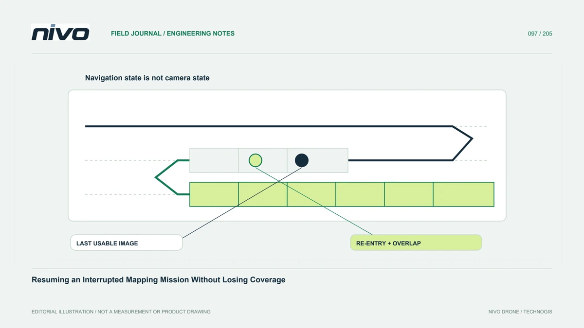
Trigger commands, exposure timing, and storage behavior can shift the relationship between navigation and recorded photographs. Compare the relevant events with actual images and their geometry. A regular trigger interval does not guarantee equally useful observations during changing attitude. Identify which photographs belong to accepted acquisition and which only document maneuvering. Preserve those distinctions so the processor does not infer quality from a tidy sequence of planned camera symbols.
Test representative line ends
Use an approved trial covering difficult boundary geometry and process the resulting observations. Inspect edge support, alignment, blur, and gaps rather than only the central orthomosaic. If one end performs poorly, investigate its specific cause before altering all navigation settings. Changes may affect other phases. Record the evaluated configuration and retain unsuccessful examples, allowing another team to understand the limitation instead of repeating an ambiguous experiment.
Accept the information boundary explicitly
Handover should show where required coverage is supported, which source observations establish it, and any excluded maneuvering images. Keep the mission version and relevant navigation interpretation with the quality record. This gives NiVO operators and processors a shared basis for discussing line-end performance. It also prevents an apparently successful waypoint list from being presented as proof that every project boundary has complete, sharp, and geometrically useful image coverage.