Geospatial
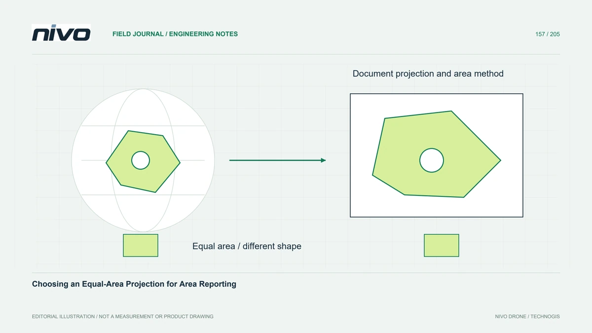
Choosing an Equal-Area Projection for Area Reporting
Select an area-measurement method suited to the project's extent, distinguish projected and ellipsoidal calculations, and keep geometry and units consistent.
3 min readRead article

Practical guides to VTOL aircraft, drone technology, geospatial workflows, payloads and inspection.
Select an area-measurement method suited to the project's extent, distinguish projected and ellipsoidal calculations, and keep geometry and units consistent.
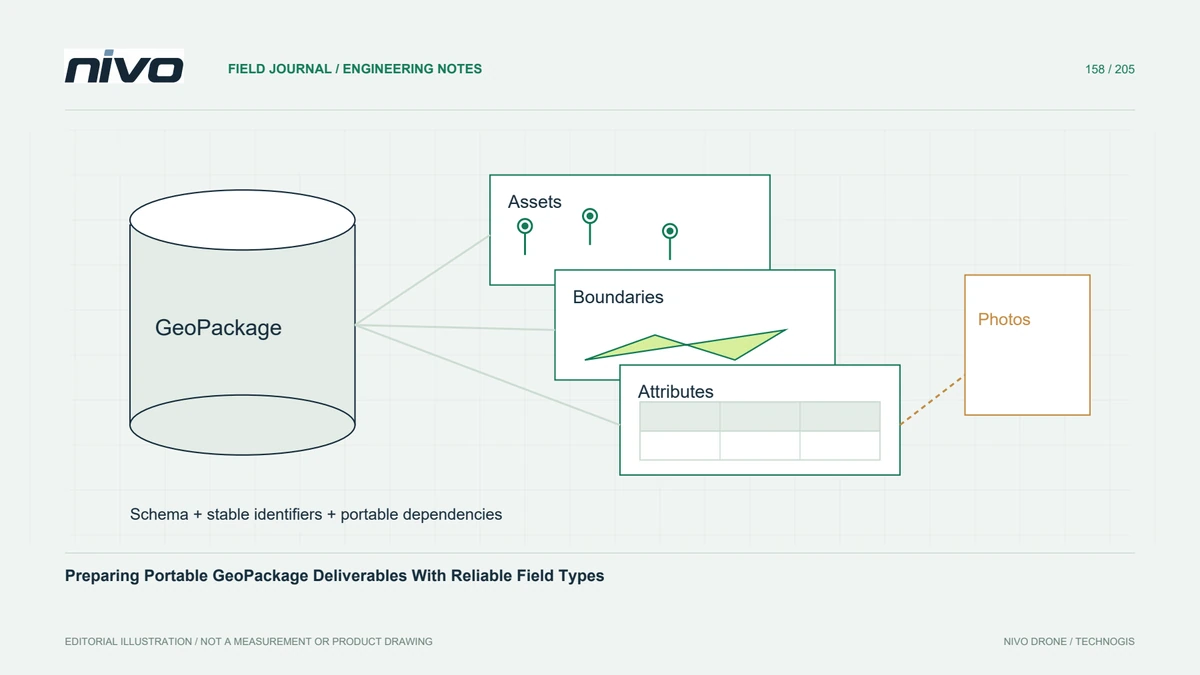
Package related vector layers with clear schemas, identifiers, coordinate references, and transfer checks so a single GIS file remains useful beyond its creator's workstation.
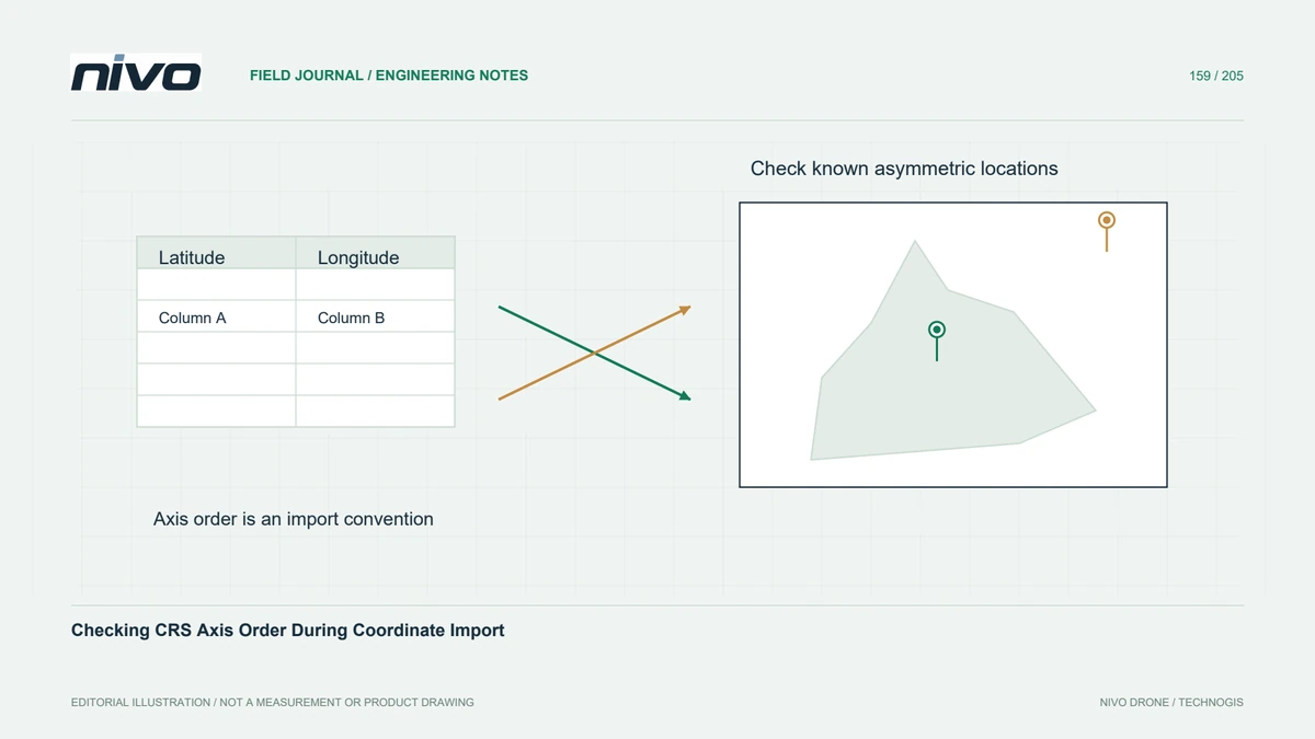
Verify column meanings, axis conventions, units, and transformations before importing coordinates so plausible numbers do not become points in the wrong location.
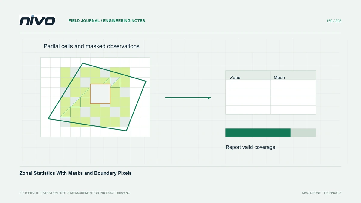
Choose cell-inclusion and weighting rules that match raster meaning, report valid coverage, and test small zones before summarising drone measurements by management area.
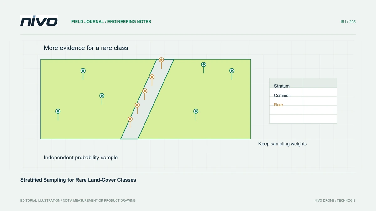
Design an independent probability sample that represents rare classes, preserves inclusion probabilities, and supports defensible accuracy and area estimates.
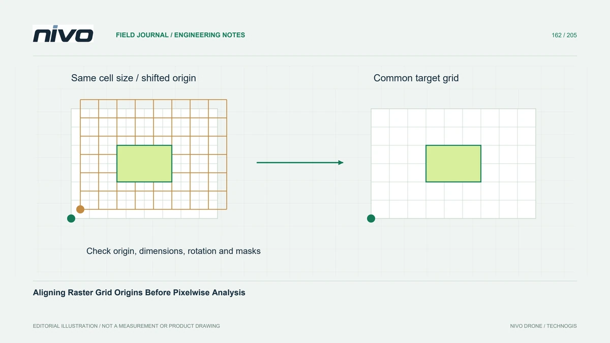
Check grid origin, cell size, rotation, extent, and validity before combining rasters so identical resolutions do not conceal shifted pixel footprints.
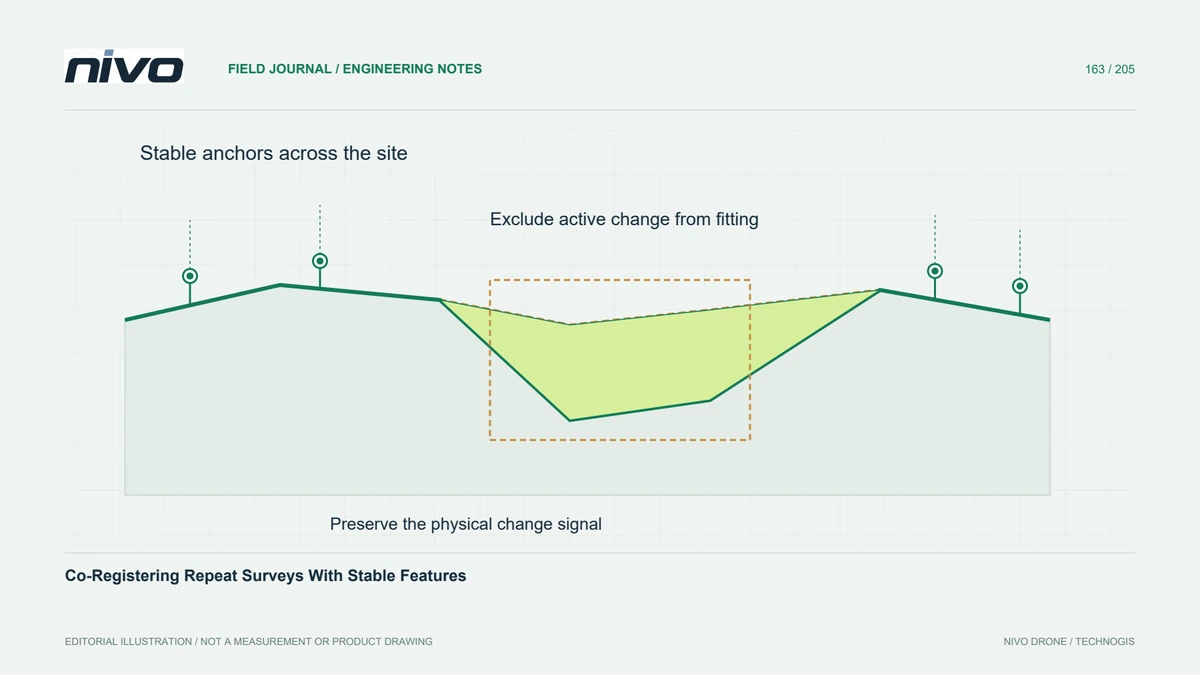
Estimate relative alignment from genuinely unchanged observations, keep independent checks, and avoid fitting away the physical changes the project needs to measure.
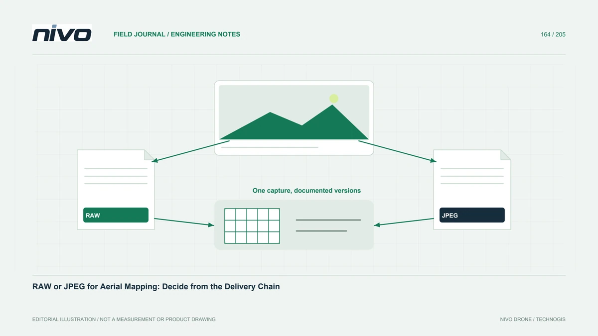
Choose an aerial image format by testing conversion, geometry, metadata, storage, and recipient needs before committing an entire survey to one workflow.
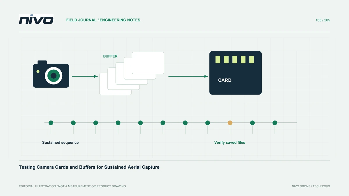
Test sustained capture with the actual camera, card, format, and trigger interval, then distinguish storage capacity from reliable image-writing performance.
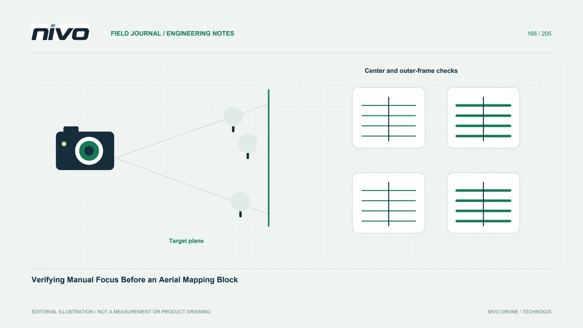
Create a repeatable manual-focus check using representative distant detail, original-file review, documented settings, and specific reasons for rechecking.
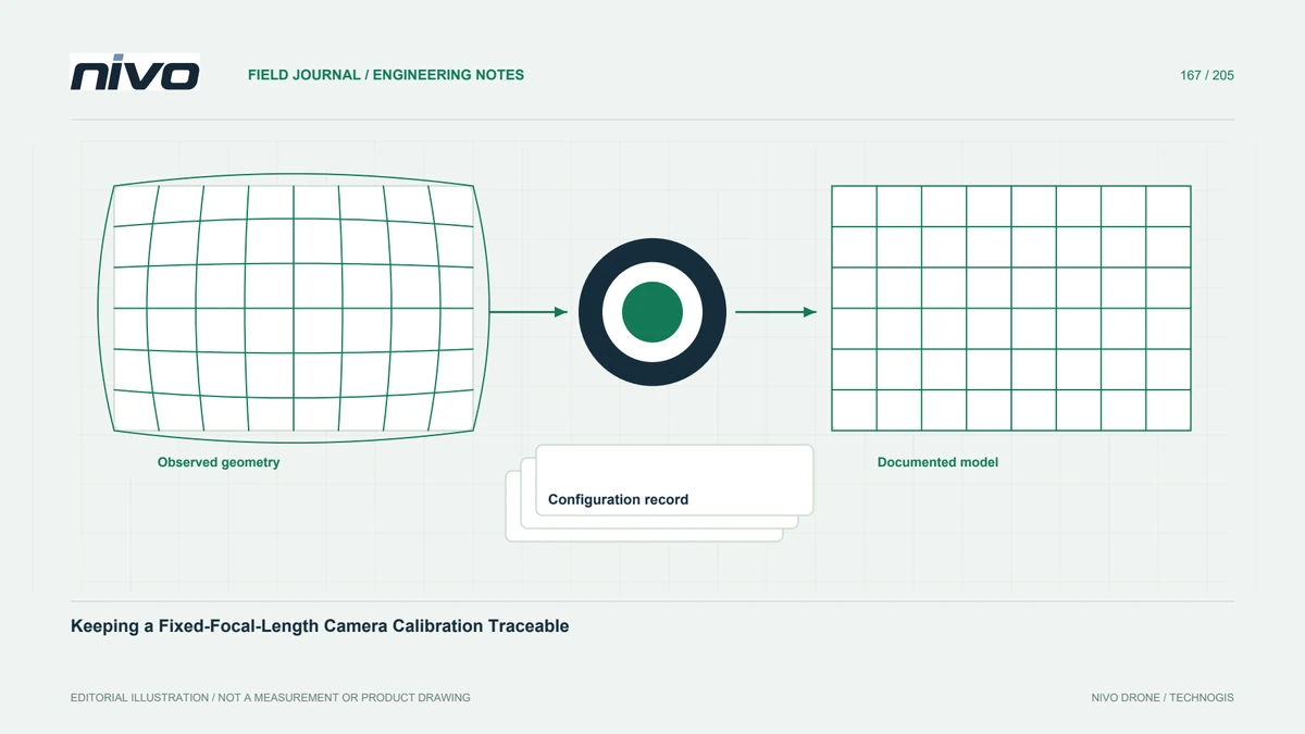
Keep lens identity, focus, image dimensions, correction settings, and calibration evidence linked so a mapping camera model remains understandable between projects.
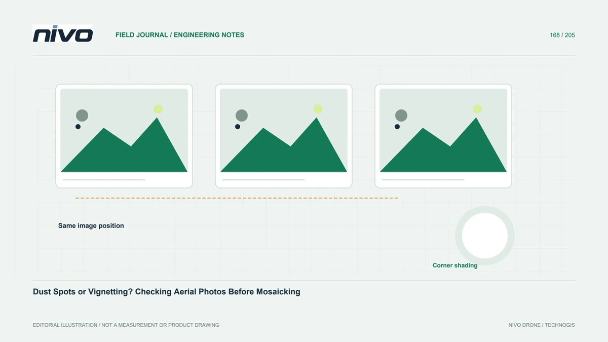
Separate recurring image-coordinate defects from real ground patterns, then document inspection, approved cleaning, and the effect on usable aerial photographs.