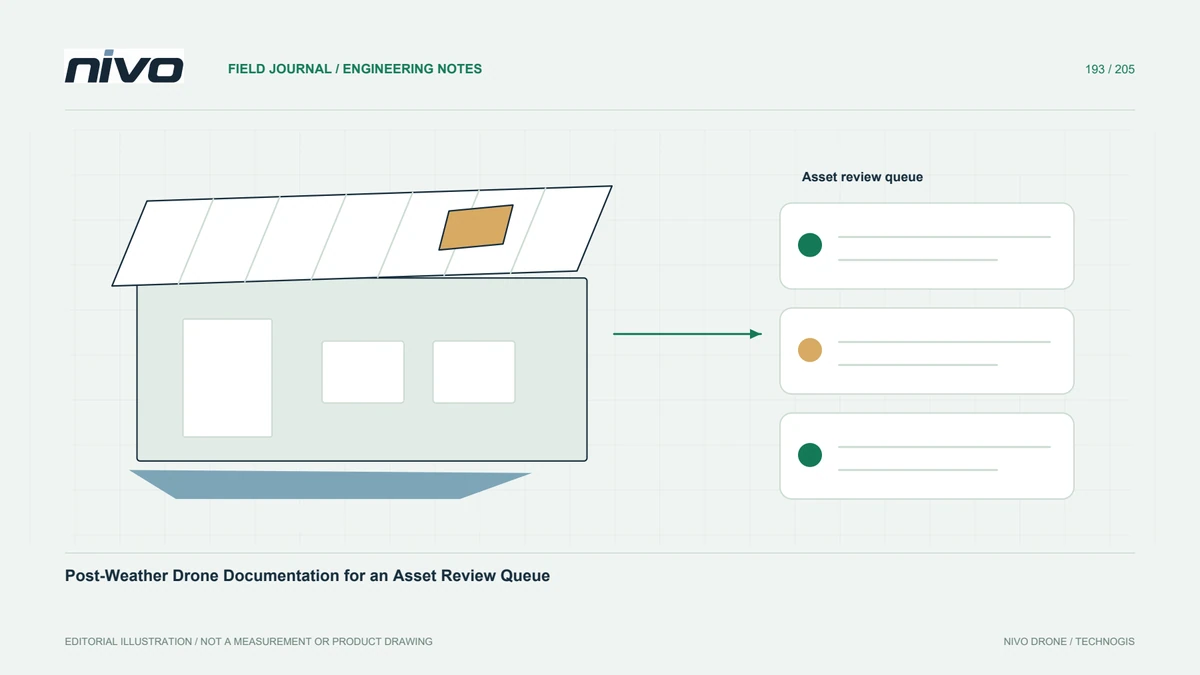
Post-Weather Drone Documentation for an Asset Review Queue
Organize post-weather photographs into identifiable observations and follow-up tasks while separating visual triage from structural clearance and emergency authority.
Practical guides to VTOL aircraft, drone technology, geospatial workflows, payloads and inspection.

Organize post-weather photographs into identifiable observations and follow-up tasks while separating visual triage from structural clearance and emergency authority.

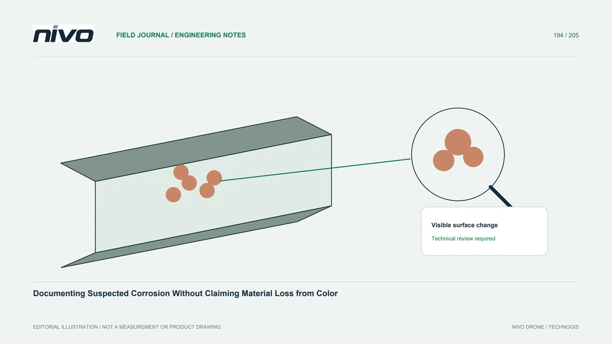
Record discoloration and surface changes with context, readable detail, and verification status while separating photographic observations from corrosion-depth assessment.

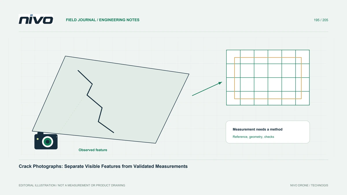
Define photographic evidence and measurement requirements separately, then review perspective, image support, references, uncertainty, and the need for qualified examination.

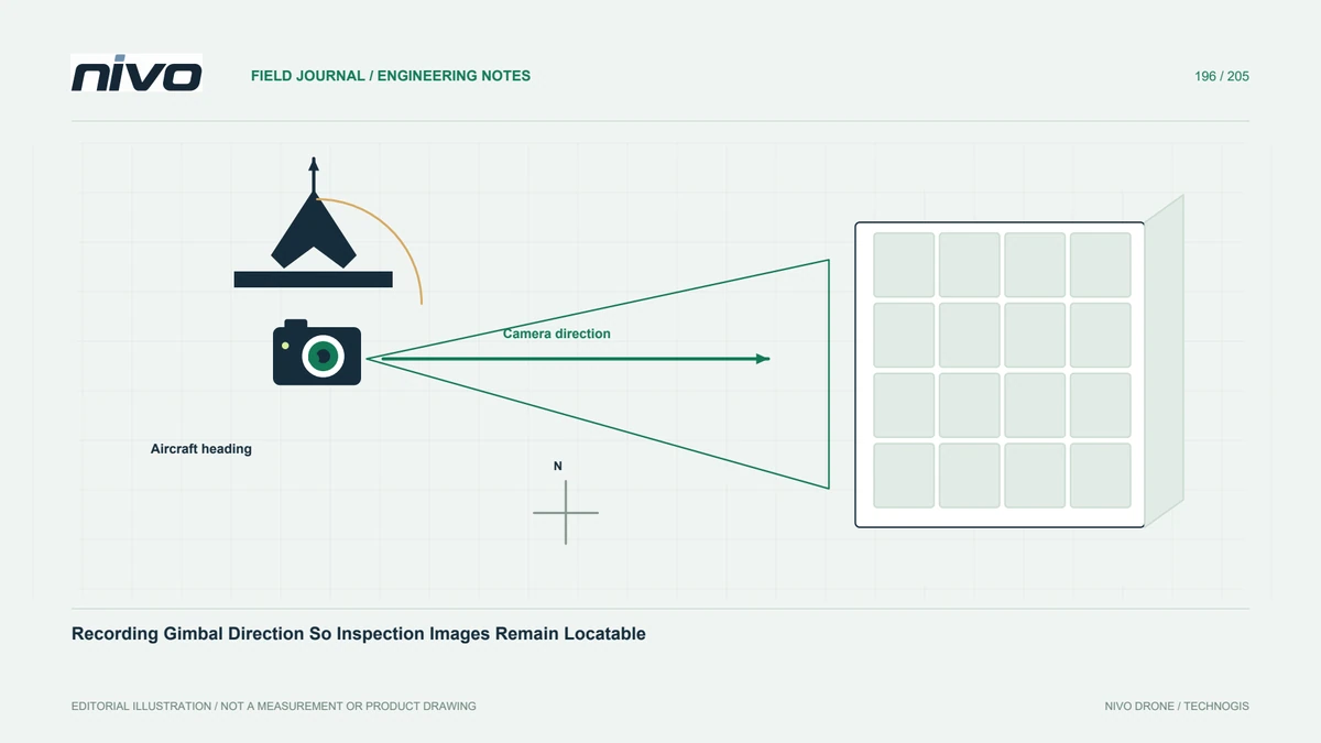
Keep camera orientation, asset identity, reference frames, timing, and source-file links understandable so a close image can be traced back to its physical target.

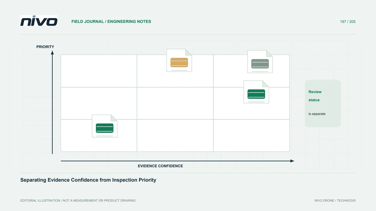
Use separate fields for observation confidence, technical verification, and owner-assigned priority so report colors do not silently combine different decisions.

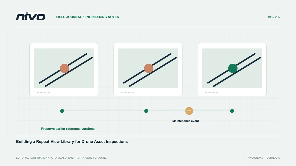
Create reference-view records with stable component identities, context, capture conditions, source links, and explicit limits so later inspections can compare evidence fairly.

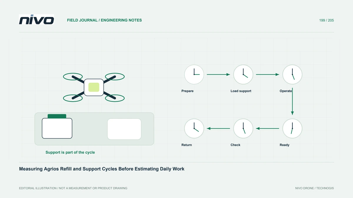
Build a local time study covering preparation, refill support, operation, movement, checks, and post-task handling before estimating an Agrios workday.

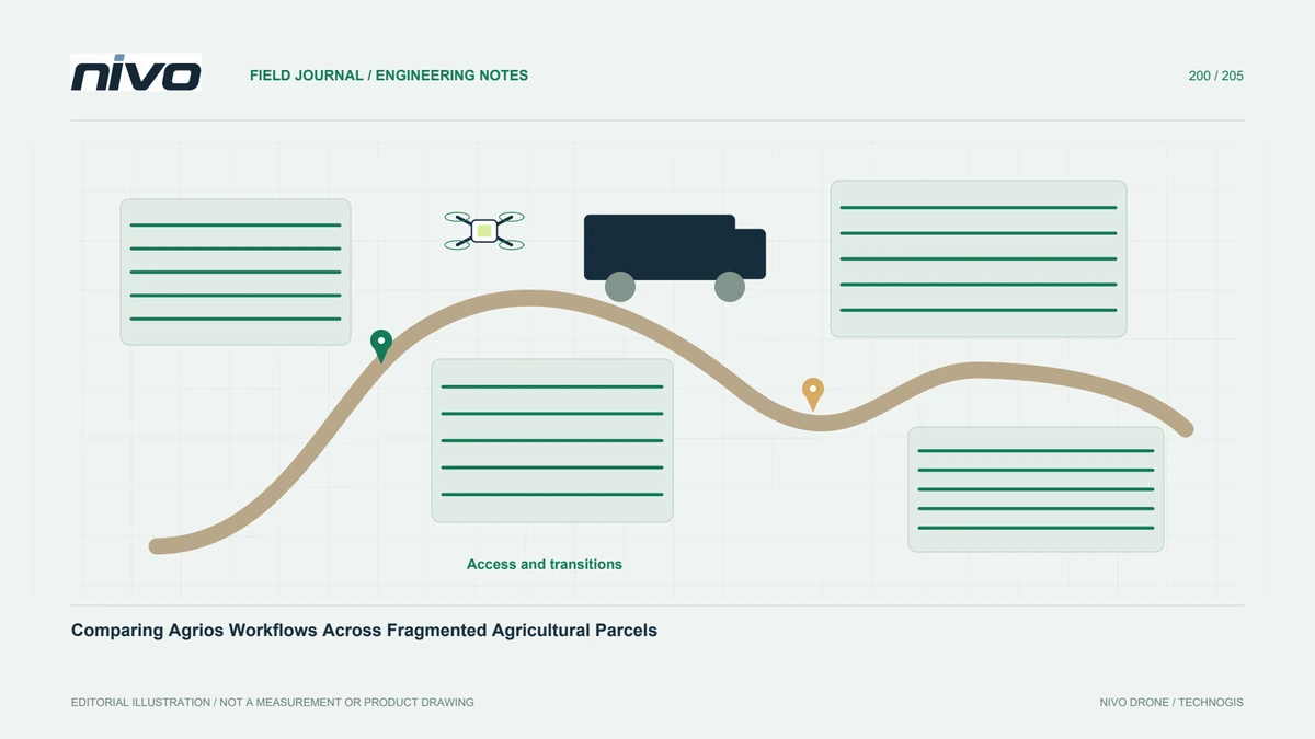
Compare fragmented-field operations through access, setup, movement, support readiness, task identity, and measured local cycles rather than total hectares alone.

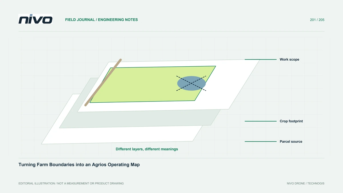
Separate parcel ownership, cropped area, work scope, exclusions, support access, and verified operating information before using a farm map for agricultural drone planning.

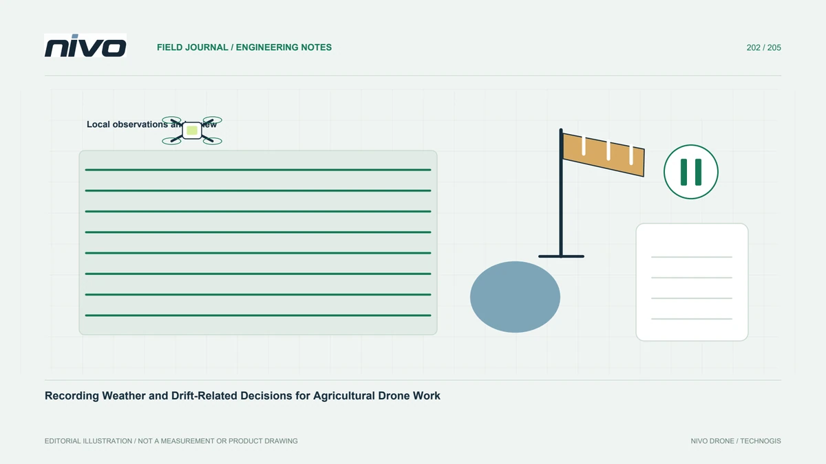
Create a task-linked weather review record with actual observations, current applicable instructions, decision responsibility, changes, and explicit reasons for reassessment.

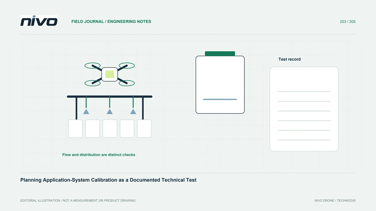
Define calibration objectives, approved procedures, configuration identity, measurement records, distribution checks, and reassessment triggers before agricultural drone work.

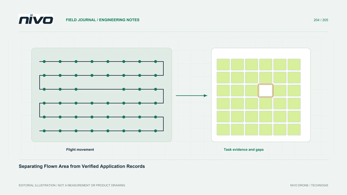
Keep aircraft movement, commanded application, available delivery evidence, task identity, and unresolved gaps separate when reporting agricultural drone work.