VTOL
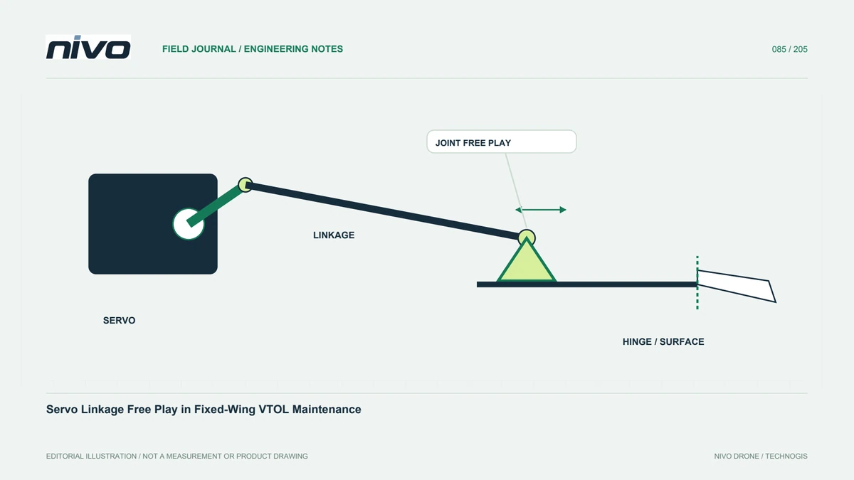
Servo Linkage Free Play in Fixed-Wing VTOL Maintenance
Review control-surface free play through linkage geometry, attachment identity, approved inspection methods, and configuration-specific acceptance evidence.
3 min readRead article

Practical guides to VTOL aircraft, drone technology, geospatial workflows, payloads and inspection.
Review control-surface free play through linkage geometry, attachment identity, approved inspection methods, and configuration-specific acceptance evidence.
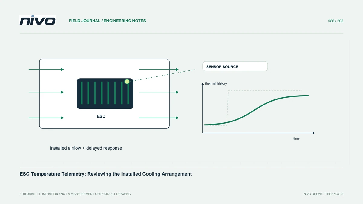
Interpret ESC temperature records through sensor identity, reporting capability, operating demand, airflow, and configuration-specific technical limits.
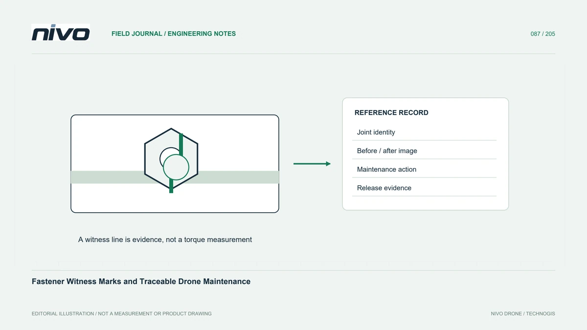
Use fastener identity, approved torque information, inspection context, and witness-mark history without treating paint alignment as proof of joint integrity.
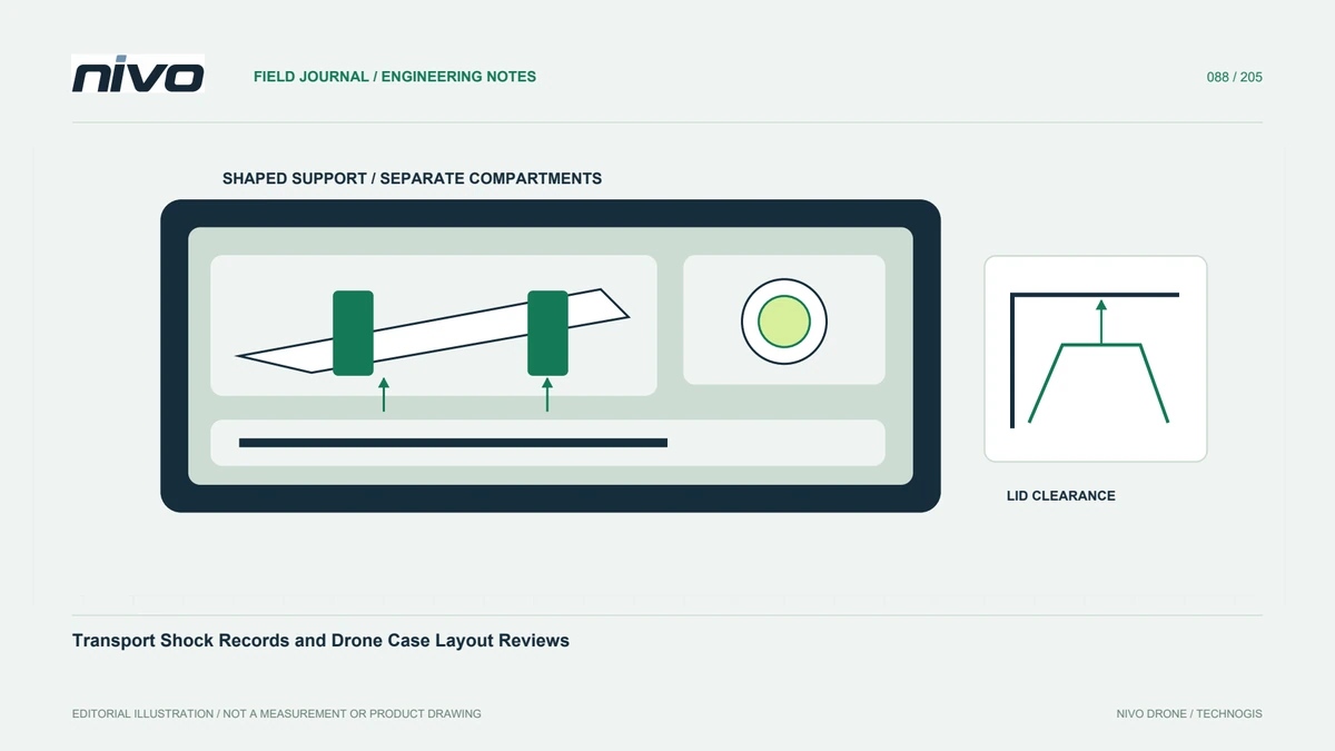
Connect packing geometry, handling incidents, component identities, and arrival inspections so transport problems are investigated with useful evidence.
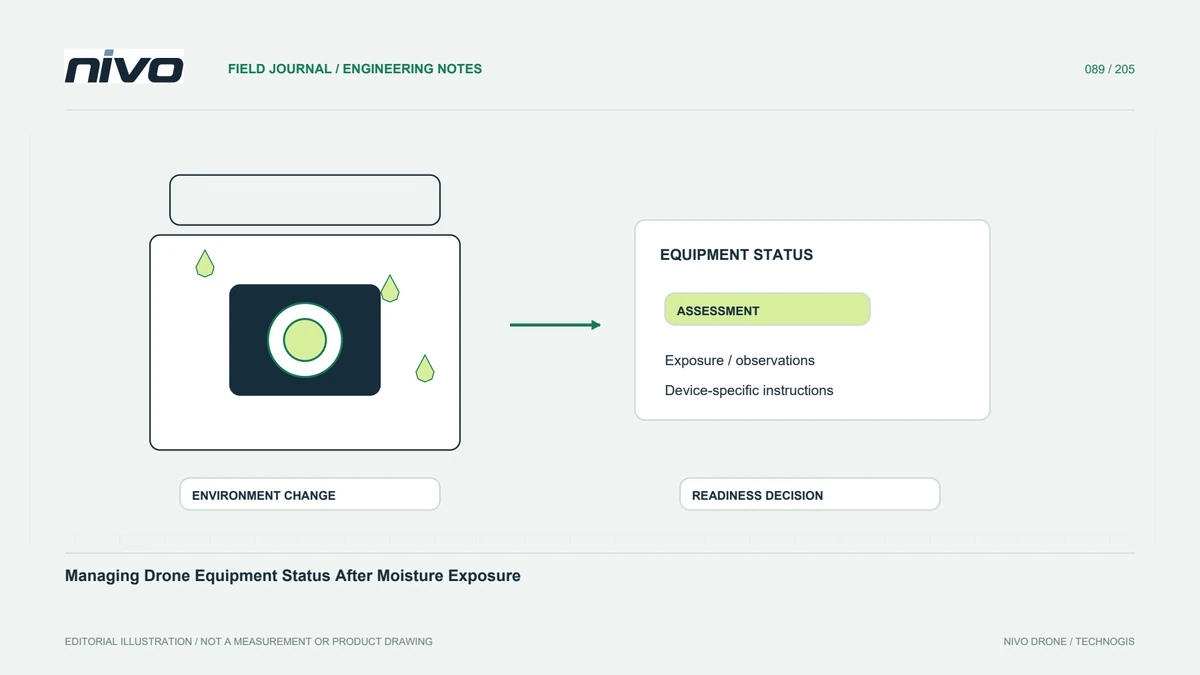
Document rain, condensation, storage conditions, and affected assemblies while keeping drying appearance separate from technical return-to-use evidence.
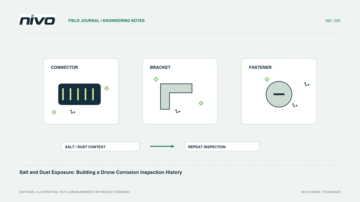
Connect environmental exposure, material locations, approved cleaning, recurring observations, and equipment status without inventing universal treatment recipes.
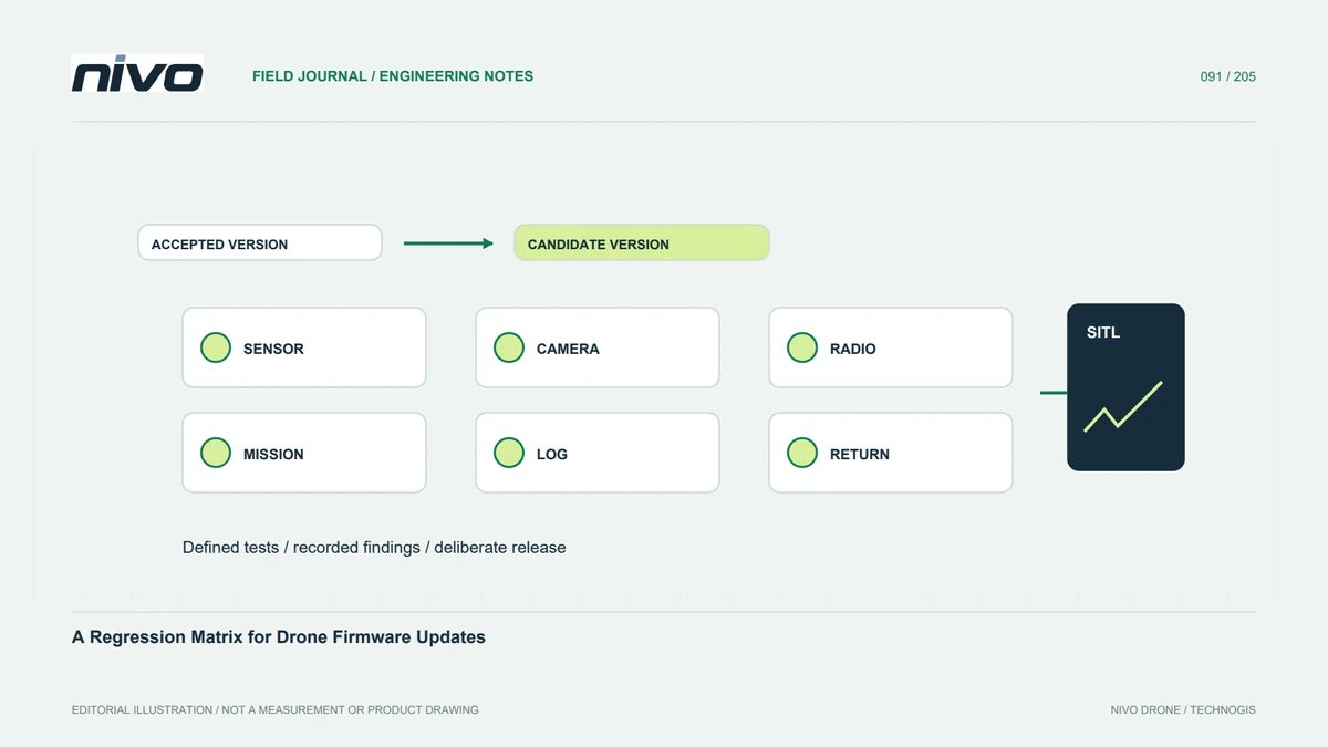
Review firmware changes through equipment identity, retained baselines, simulation, installed-function checks, and evidence tied to a controlled release decision.
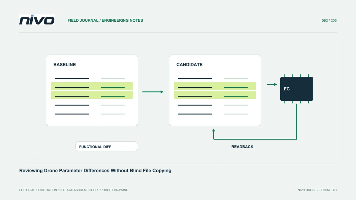
Compare parameter snapshots through aircraft identity, software context, functional grouping, verified readback, and explicit acceptance of each intended change.
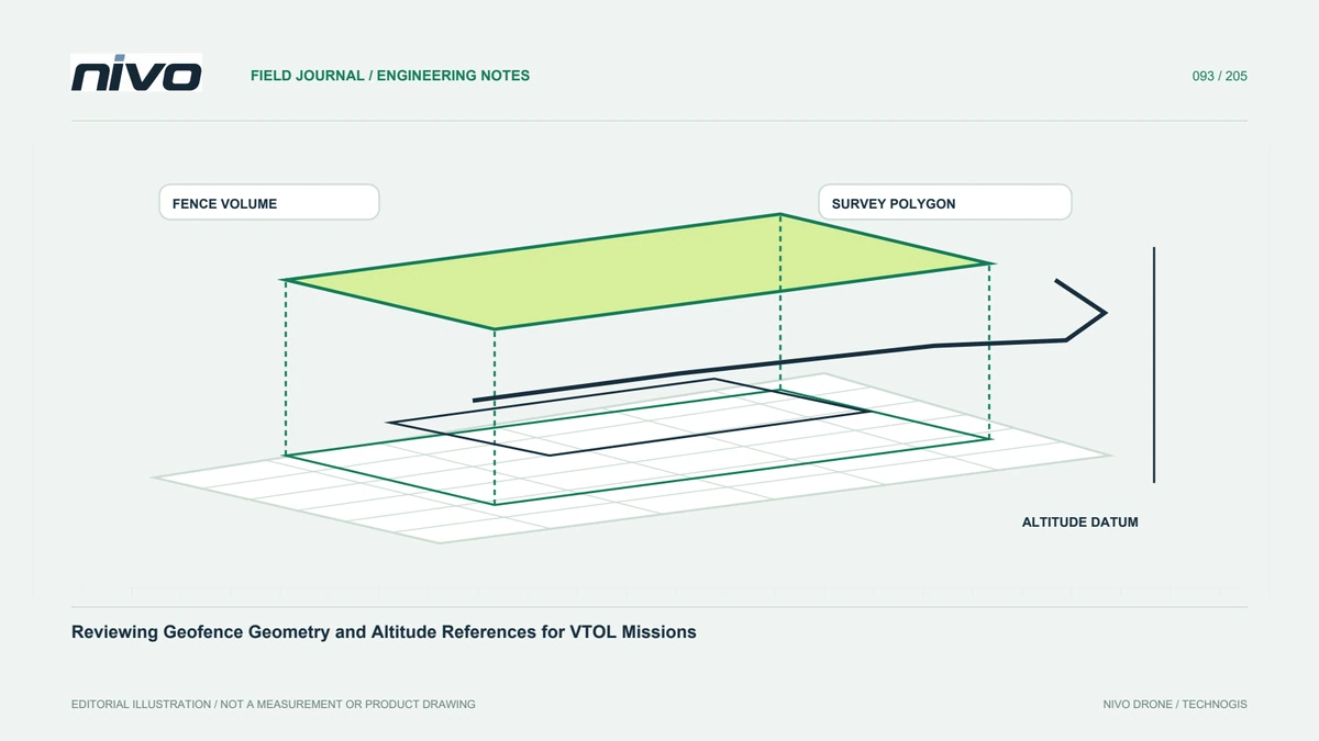
Connect fence geometry, altitude definitions, breach responses, recovery paths, and installed software evidence without treating a map polygon as complete protection.
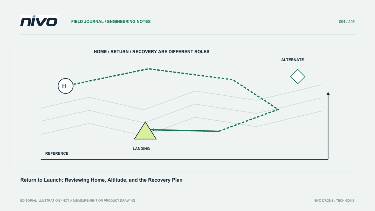
Examine the installed return behavior through home identity, height references, route assumptions, alternative points, and documented contingency review.
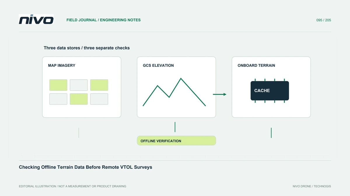
Distinguish cached imagery from onboard elevation data and verify the coverage, references, versions, and availability needed by the actual mission.
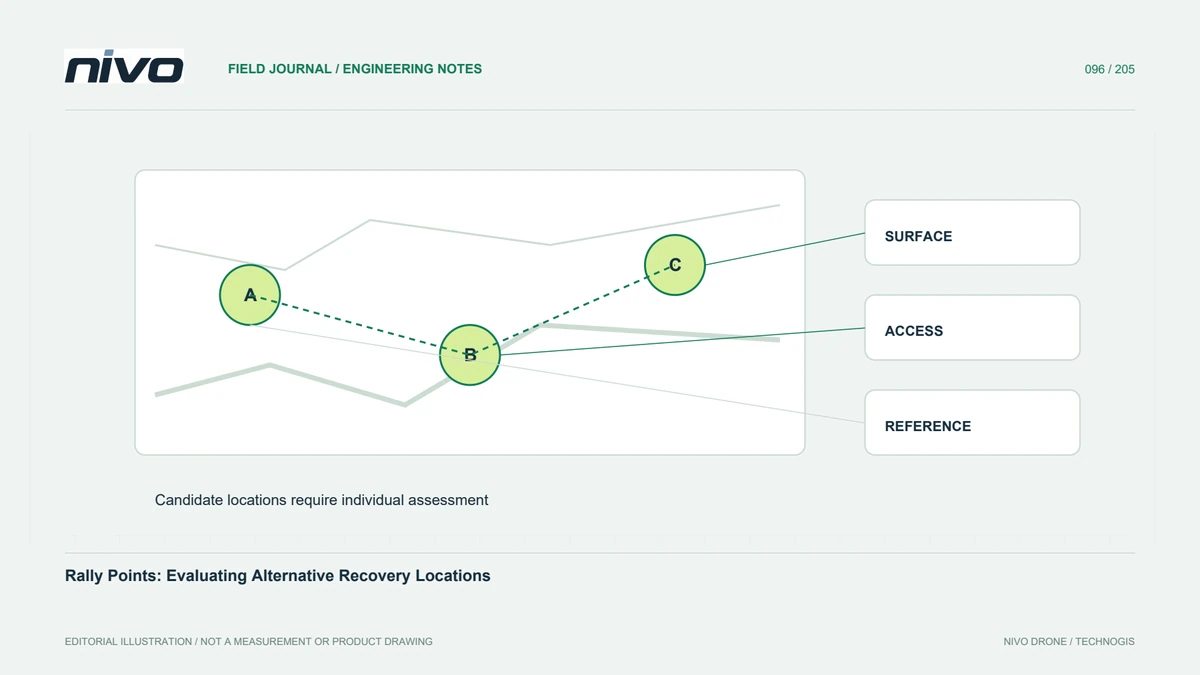
Review alternative recovery points through actual system support, location assessment, altitude references, selection behavior, and clear team responsibilities.