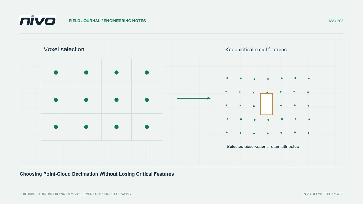
Choosing Point-Cloud Decimation Without Losing Critical Features
Compare voxel selection, spacing-based sampling, and simple thinning against feature size, retained attributes, and the purpose of the reduced LiDAR dataset.
Practical guides to VTOL aircraft, drone technology, geospatial workflows, payloads and inspection.

Compare voxel selection, spacing-based sampling, and simple thinning against feature size, retained attributes, and the purpose of the reduced LiDAR dataset.

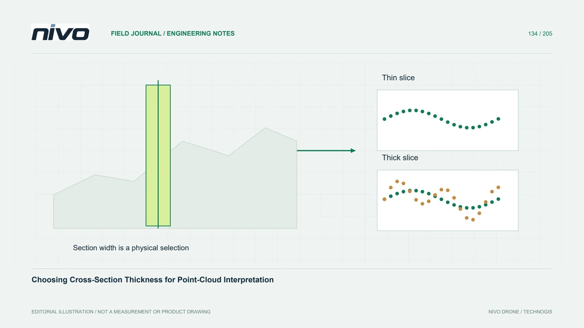
Control section position, thickness, projection direction, and envelope settings so point-cloud profiles explain observed geometry without inventing a sharp surface.

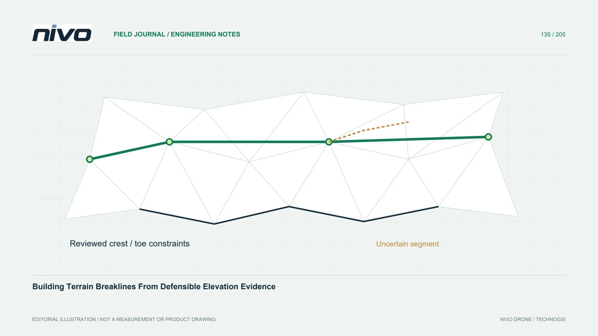
Use breaklines to represent terrain discontinuities and water boundaries while checking vertex elevations, connectivity, nearby observations, and the intended surface treatment.

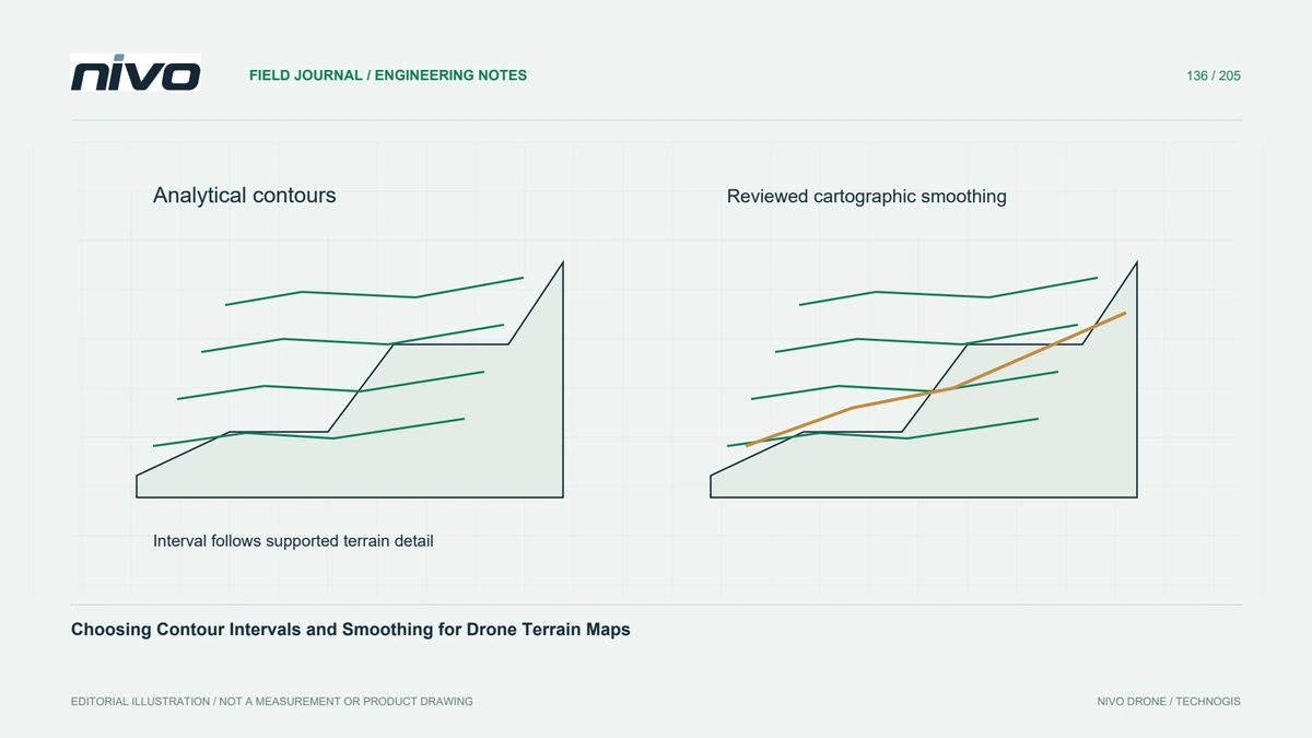
Match contour presentation to terrain evidence, separate cartographic smoothing from surface correction, and verify elevation attributes and gaps before engineering handover.

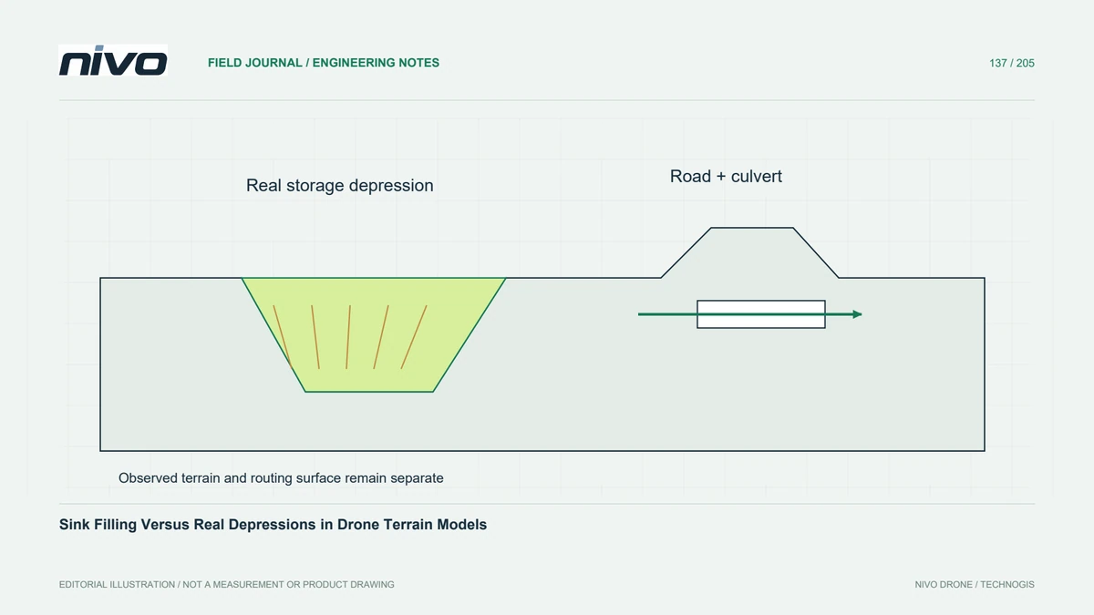
Review depressions before hydrological conditioning, preserve the measured terrain separately, and document how filling or other treatments change drainage interpretation.

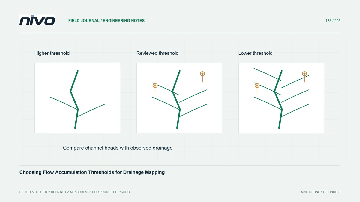
Relate accumulation thresholds to contributing area, routing assumptions, grid resolution, and observed drainage so extracted channels remain interpretable.

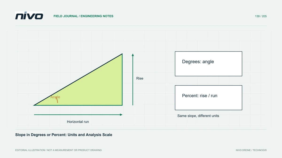
Define slope units, horizontal and vertical scaling, surface choice, and neighbourhood size before comparing terrain classes or applying an engineering screening threshold.

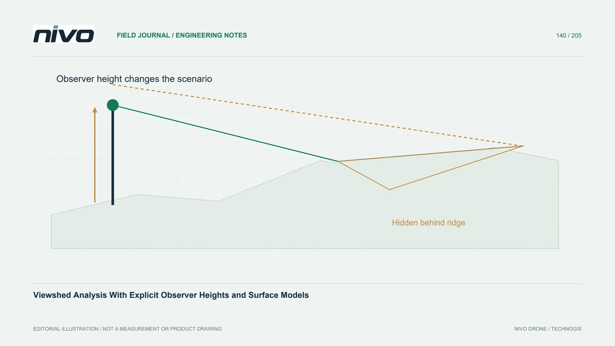
Define observer and target heights, terrain obstacles, coverage limits, and sensitivity checks before interpreting a drone-derived visibility map.

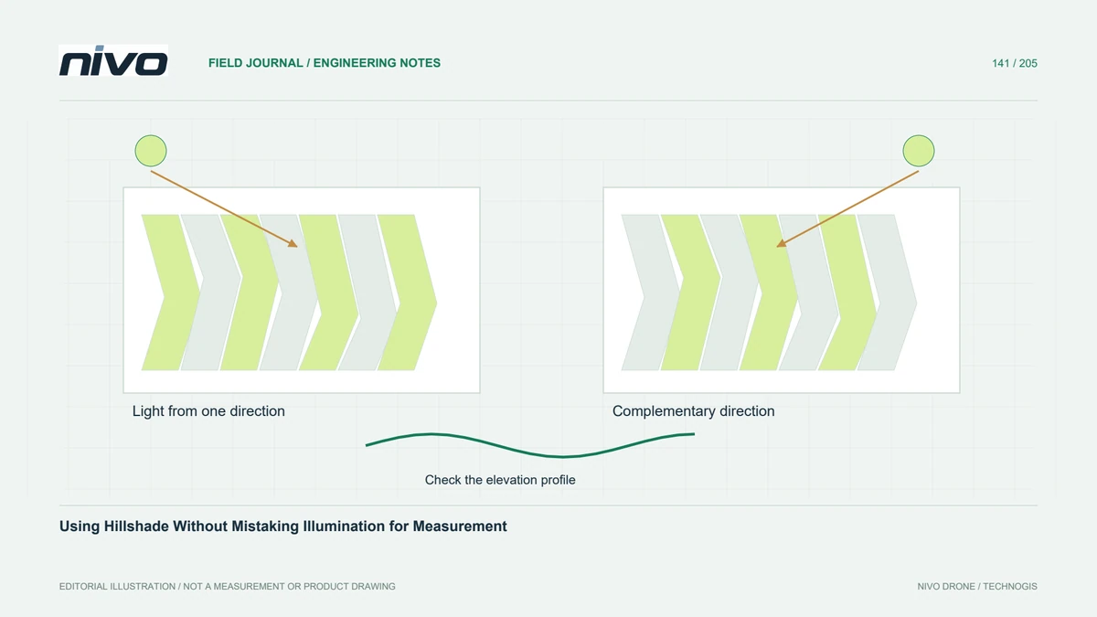
Use complementary illumination directions to inspect terrain structure, while retaining the elevation model, documenting exaggeration, and checking suspected features.

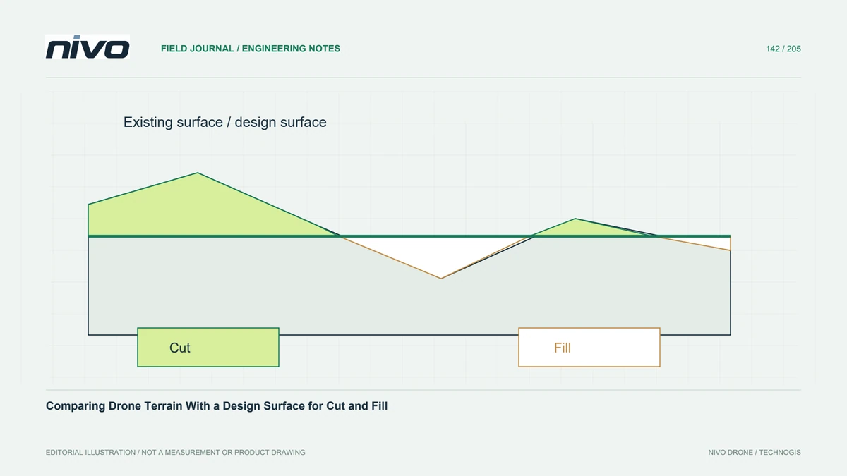
Prepare compatible existing and proposed surfaces, separate cut and fill, inspect coverage and design revisions, and report volumes with clear modelling assumptions.

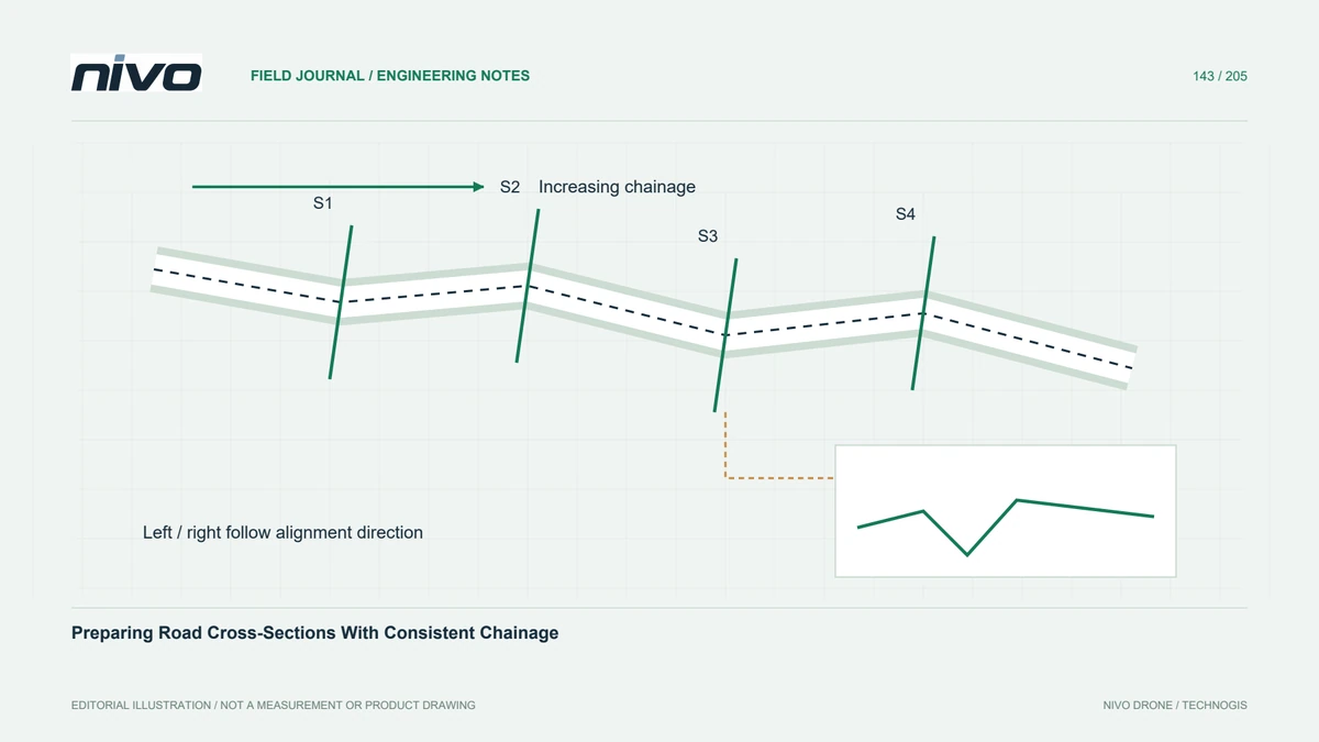
Define alignment direction, stationing, left and right offsets, section support, and elevation references before generating road profiles from drone terrain.

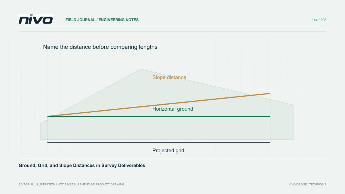
Distinguish measured slope distance, horizontal ground distance, and projected grid distance before comparing drone maps with design drawings or field measurements.