Delivering Drone Orthomosaics as Cloud Optimized GeoTIFF
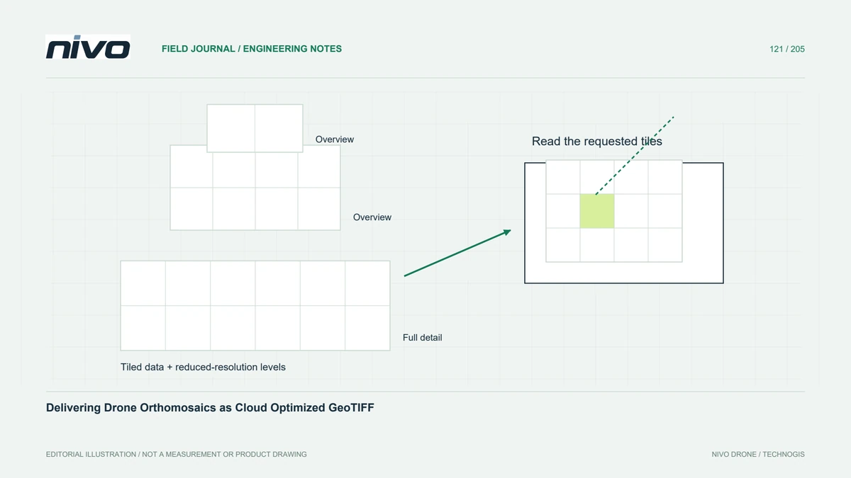
Package a large drone orthomosaic for selective reading with tiled storage, suitable overviews, controlled compression, and checks in the recipient's actual viewer.
Practical guides to VTOL aircraft, drone technology, geospatial workflows, payloads and inspection.

Package a large drone orthomosaic for selective reading with tiled storage, suitable overviews, controlled compression, and checks in the recipient's actual viewer.

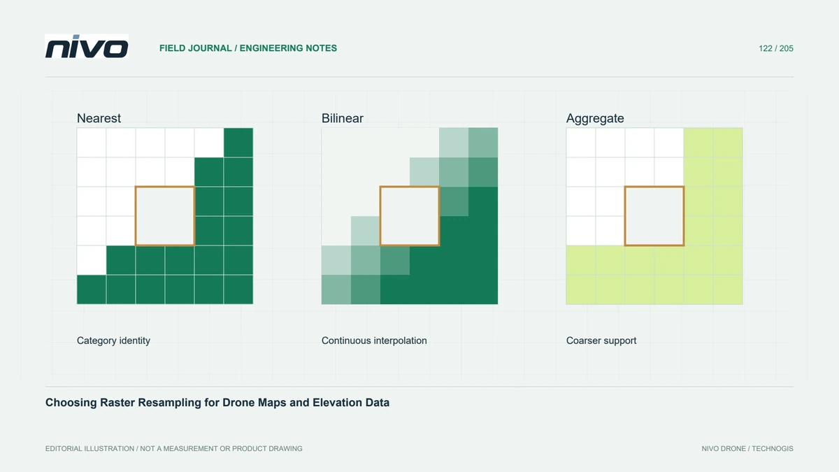
Compare nearest neighbour, interpolation, and aggregation methods against raster meaning so reprojection preserves useful measurements and categorical labels.

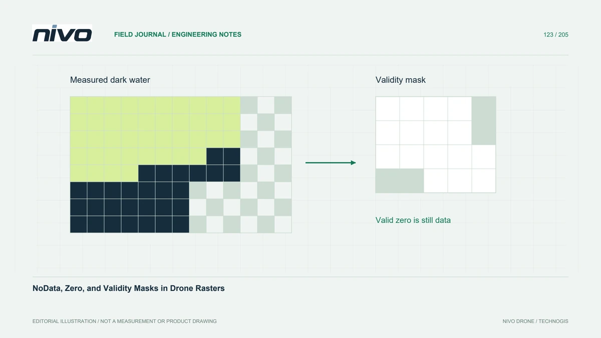
Keep unobserved cells separate from genuine zero measurements when preparing elevation, reflectance, and classified drone rasters for downstream analysis.

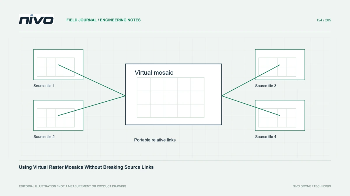
Organise adjacent orthomosaic tiles with a virtual raster, predictable overlap priorities, compatible metadata, and portable links that survive project handover.

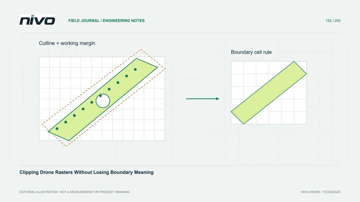
Separate a reporting boundary from observed coverage, choose explicit cutline rules, and inspect edge pixels before delivering a clipped orthomosaic or elevation model.

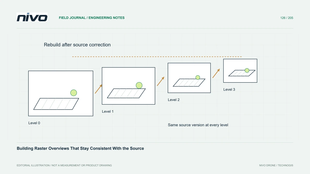
Improve browsing of large drone datasets while keeping overview resampling, source edits, external pyramid files, and analytical values under explicit control.

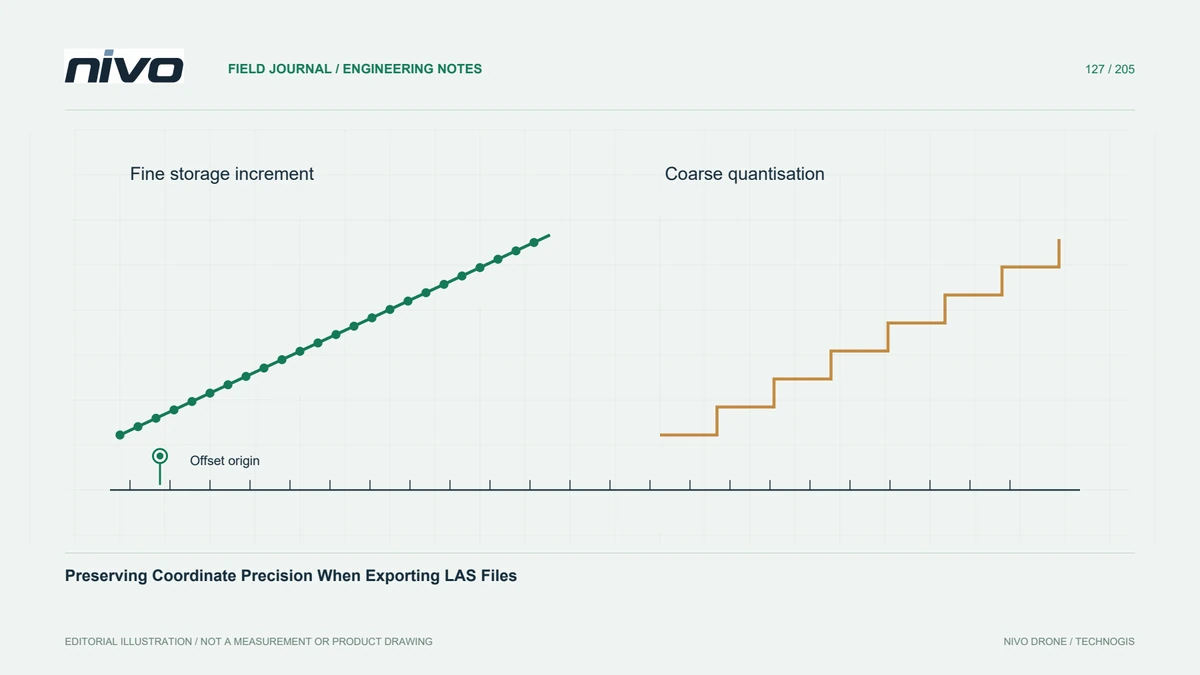
Choose LAS coordinate scale and offset deliberately, distinguish storage increments from survey accuracy, and compare exported coordinates before point-cloud handover.

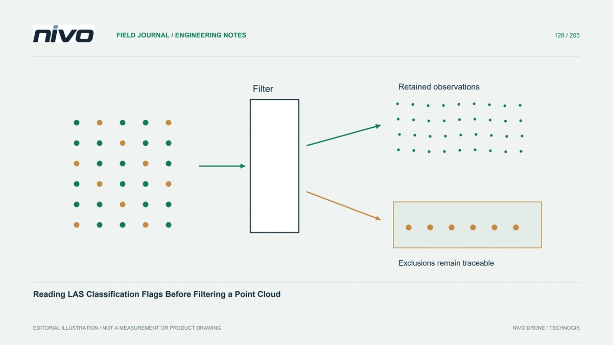
Keep point class and classification flags distinct, document exclusions, and verify that filtering preserves the observations needed for each LiDAR deliverable.

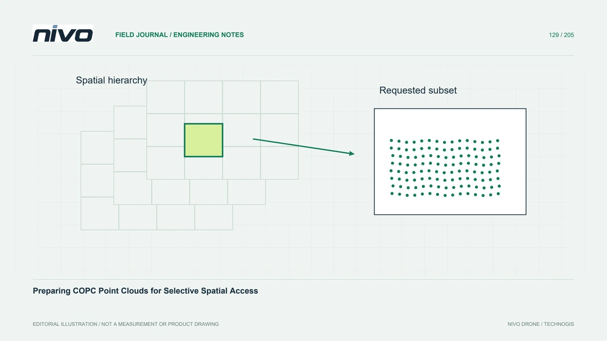
Use a spatially organised point-cloud delivery for selective reading, while checking preserved dimensions, requested resolution, coordinate metadata, and hosting behaviour.

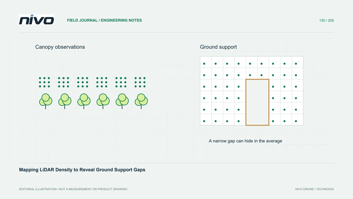
Measure local point support using explicit classes, grid areas, overlap rules, and edge treatment so a high overall density does not hide important terrain gaps.

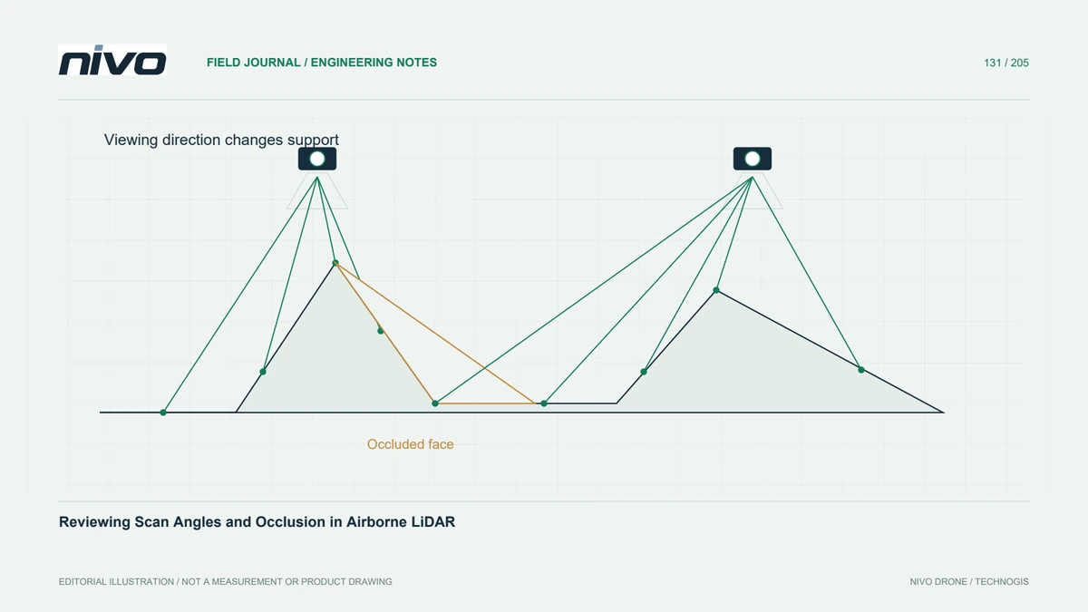
Interpret scan-angle distributions together with flight geometry, terrain profiles, and local gaps instead of using a single angle threshold as a quality guarantee.

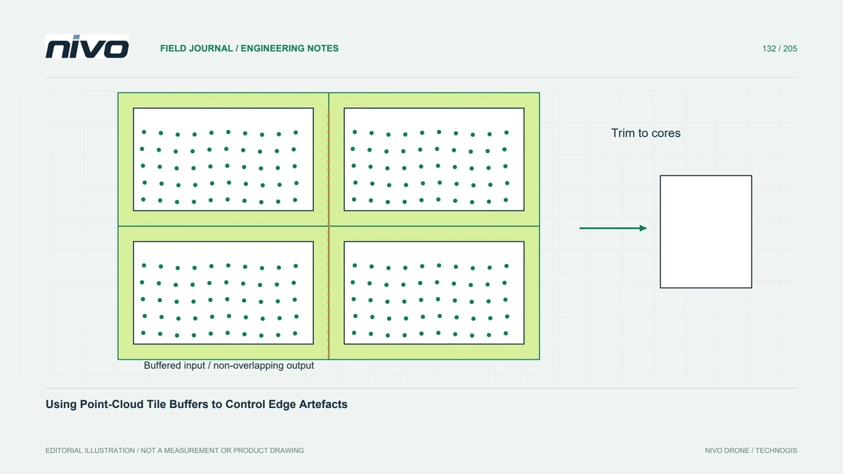
Process tiled point clouds with enough surrounding observations for neighbourhood operations, then trim outputs consistently and test seams against an untiled reference.