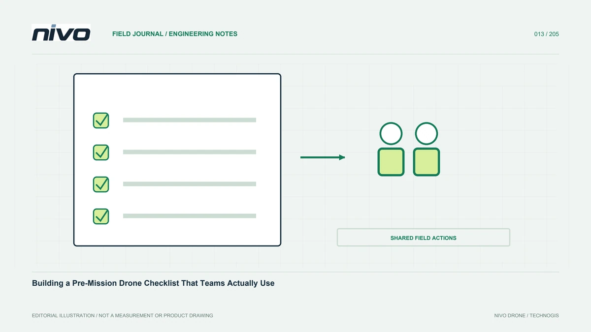
Building a Pre-Mission Drone Checklist That Teams Actually Use
Connect aircraft condition, payload readiness, mission versions, staff roles, site assessment, and data requirements in a concise and traceable pre-mission checklist.
Practical guides to VTOL aircraft, drone technology, geospatial workflows, payloads and inspection.

Connect aircraft condition, payload readiness, mission versions, staff roles, site assessment, and data requirements in a concise and traceable pre-mission checklist.

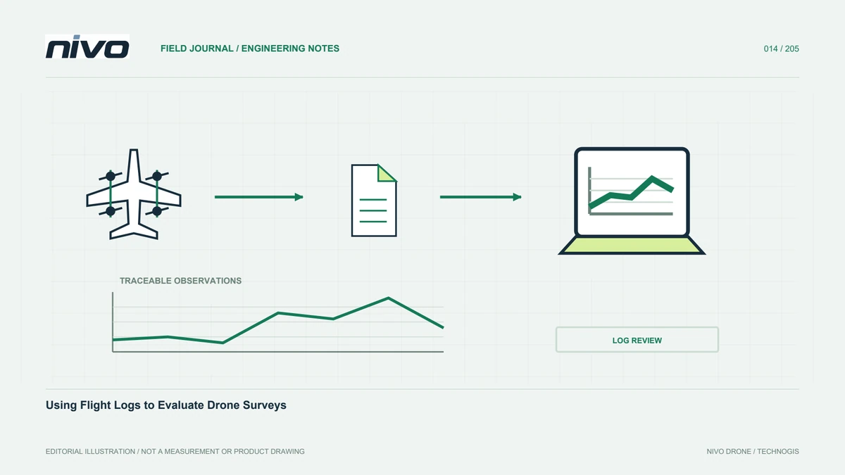
Connect flight logs with operator notes, payload configuration, mission versions, and sensor files so survey evaluation goes beyond interpreting a single graph.

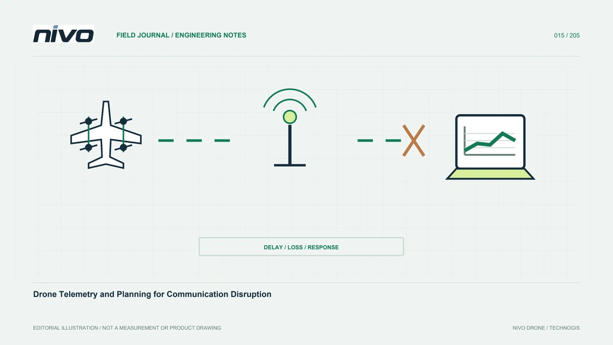
Understand telemetry functions, ground and onboard records, equipment placement, status information, and configuration-specific planning for a disrupted communication link.

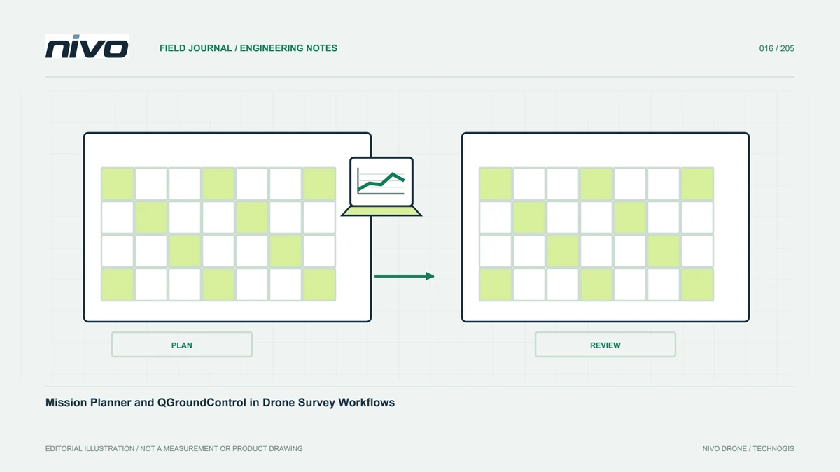
Understand ground-station roles, mission planning, configuration, logs, offline preparation, and version control when using Mission Planner or QGroundControl for surveys.

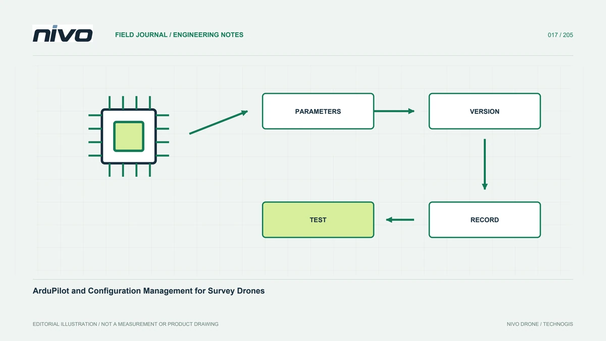
Understand the relationship between ArduPilot, hardware, parameters, firmware versions, change records, and acceptance evidence in a professional survey configuration.

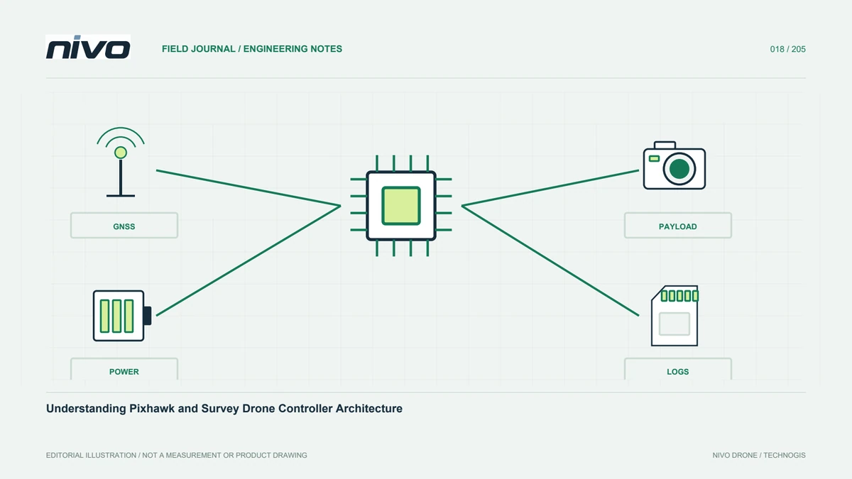
Distinguish Pixhawk standards, controller products, firmware, sensors, payload interfaces, power arrangements, and integration evidence in a drone mapping system.

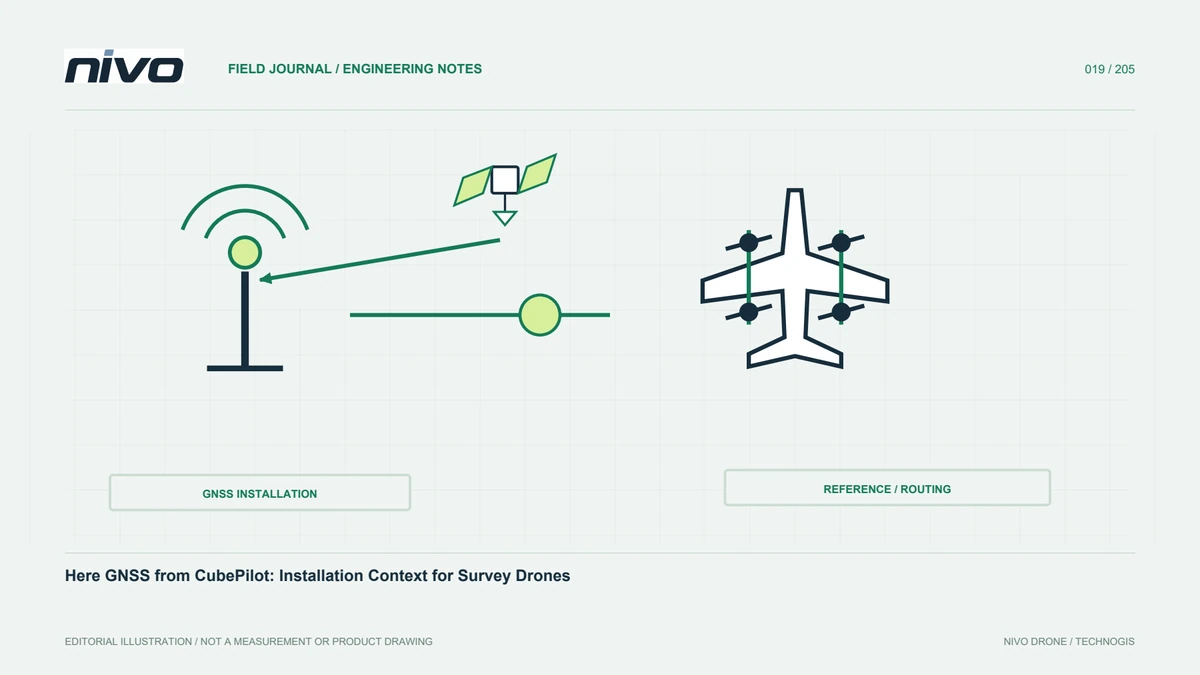
Understand CubePilot Here GNSS models, antenna placement, camera reference relationships, corrections, configuration records, and verification of survey data.

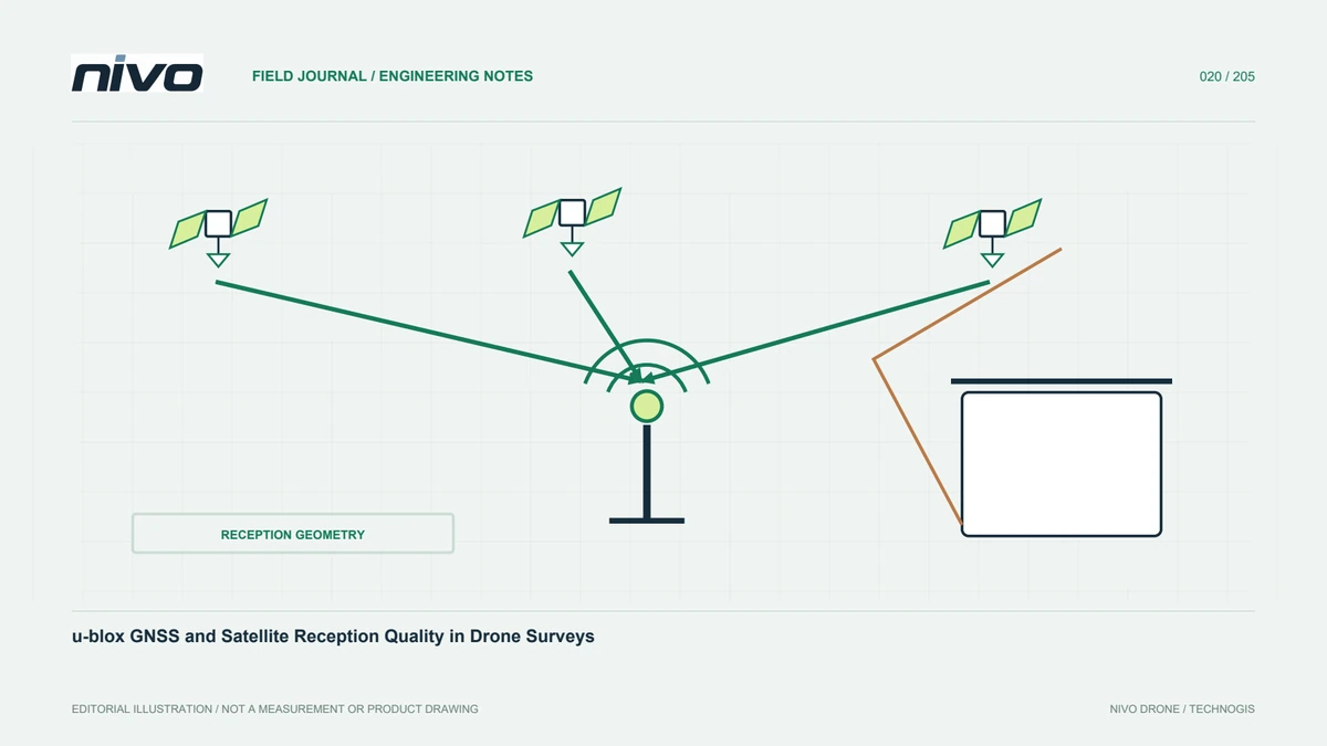
Connect receiver identity with antennas, sky visibility, multipath, installation, configuration, raw observations, and independent verification of geospatial results.

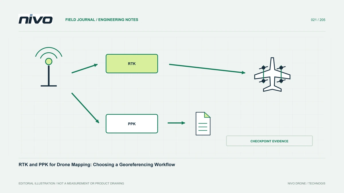
Compare RTK and PPK through processing time, communications, raw observations, base references, camera events, sensor geometry, and independent map-quality checks.

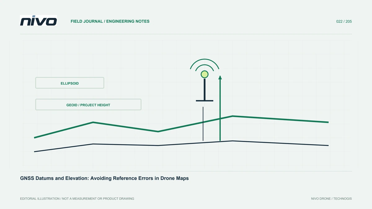
Understand coordinate references, datums, ellipsoidal and orthometric heights, geoid models, transformations, and metadata for consistent drone-survey deliverables.

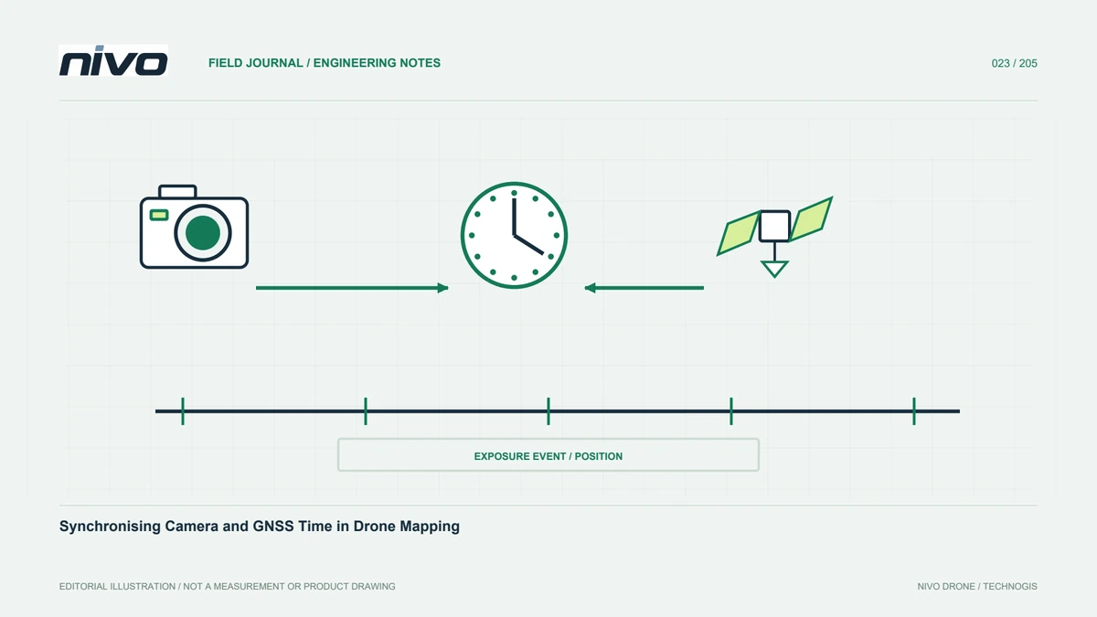
Understand trigger commands, exposure events, time references, antenna geometry, file sequences, and the evidence needed to match drone images with GNSS positions.

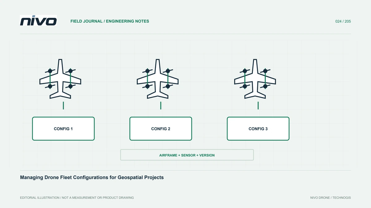
Track aircraft, payloads, batteries, firmware, missions, maintenance, and accepted changes so fleet readiness and survey outputs remain explainable across projects.