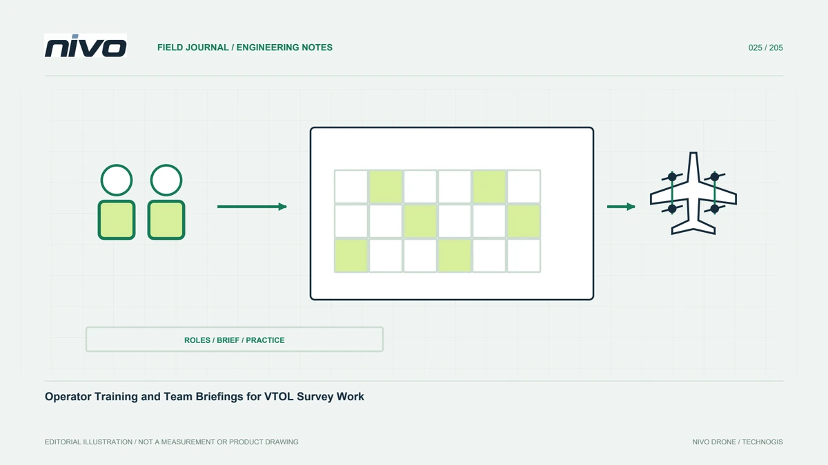
Operator Training and Team Briefings for VTOL Survey Work
Design training around the actual aircraft configuration, staff roles, site review, data readiness, shared communication, and evidence-based assessment of survey work.
Practical guides to VTOL aircraft, drone technology, geospatial workflows, payloads and inspection.

Design training around the actual aircraft configuration, staff roles, site review, data readiness, shared communication, and evidence-based assessment of survey work.

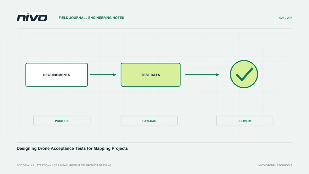
Define acceptance through project needs, actual configuration, sensor functions, complete data delivery, independent checkpoints, operator readiness, and documented findings.

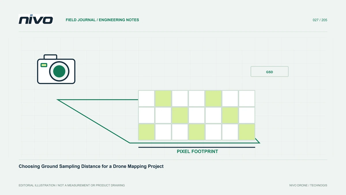
Connect GSD, flight height, camera geometry, and the smallest useful feature so aerial image resolution supports the decisions your survey must inform.

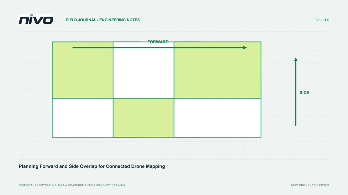
Understand image overlap, terrain, texture, and actual camera coverage so a mapping block remains connected and missing observations are found before demobilisation.

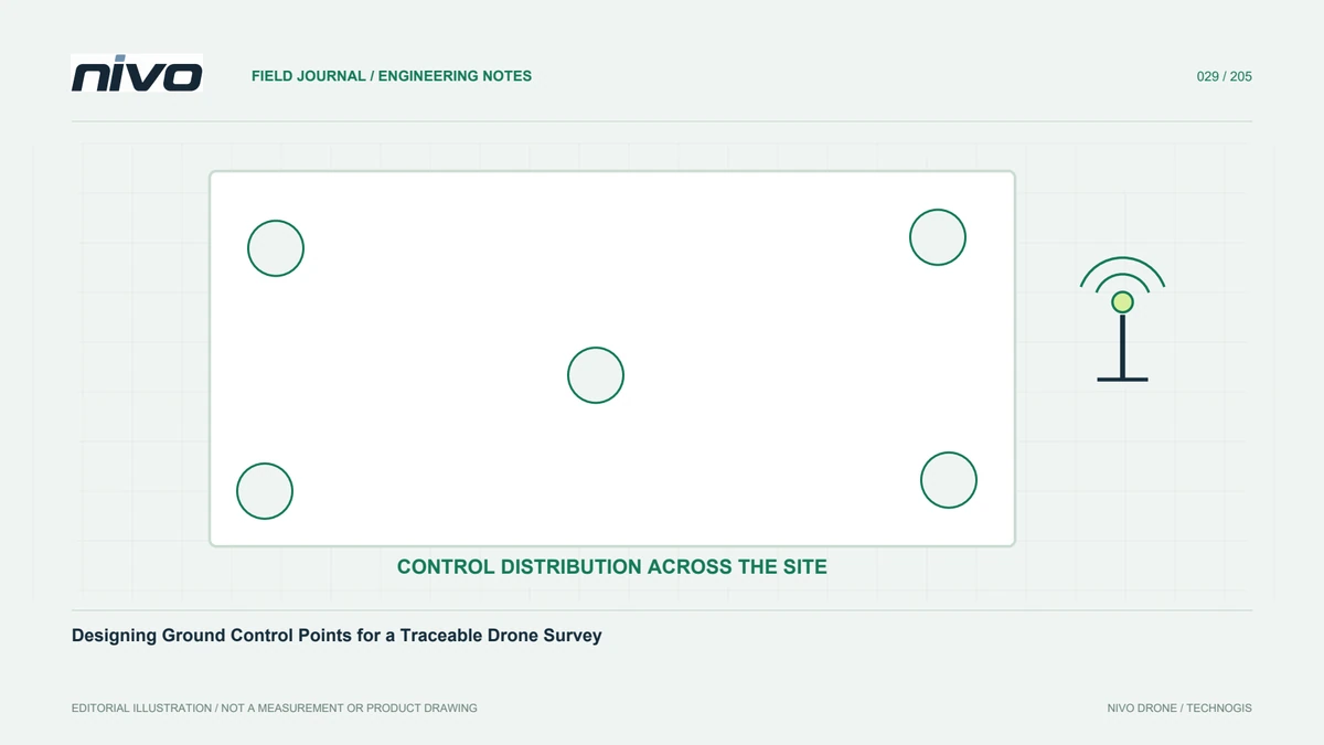
Plan GCP locations, visible targets, coordinate measurement, reference systems, and field records so mapping control can be checked from the ground to processing.

Separate checkpoints from GCPs, design positional tests, examine error patterns, and report mapping quality without confusing small pixels with accurate coordinates.

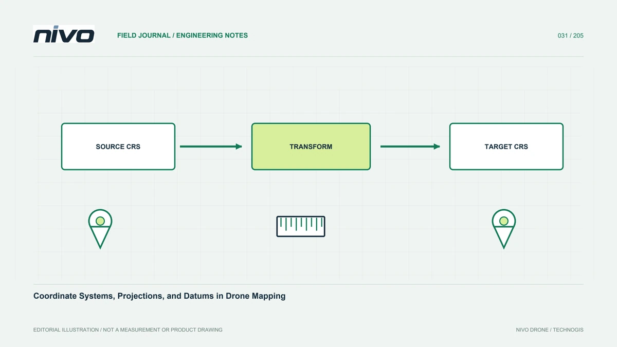
Understand CRS definitions, projections, datums, and height references so drone products combine with project data without introducing unnoticed coordinate shifts.

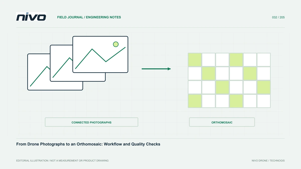
Follow source-image inspection, reconstruction, referencing, orthorectification, seam checks, and export so an aerial mosaic is ready for responsible GIS use.

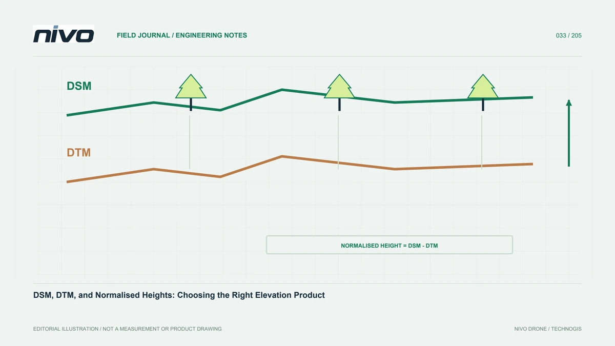
Distinguish visible-surface, terrain, and relative-height models so drone elevation products answer the right questions about ground, buildings, and vegetation.

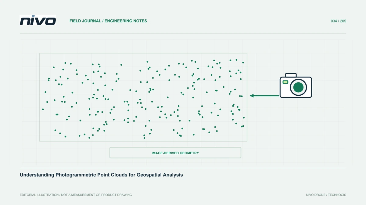
Learn how image-derived point clouds are formed, which attributes to retain, and how to check density and geometry before creating analytical products.

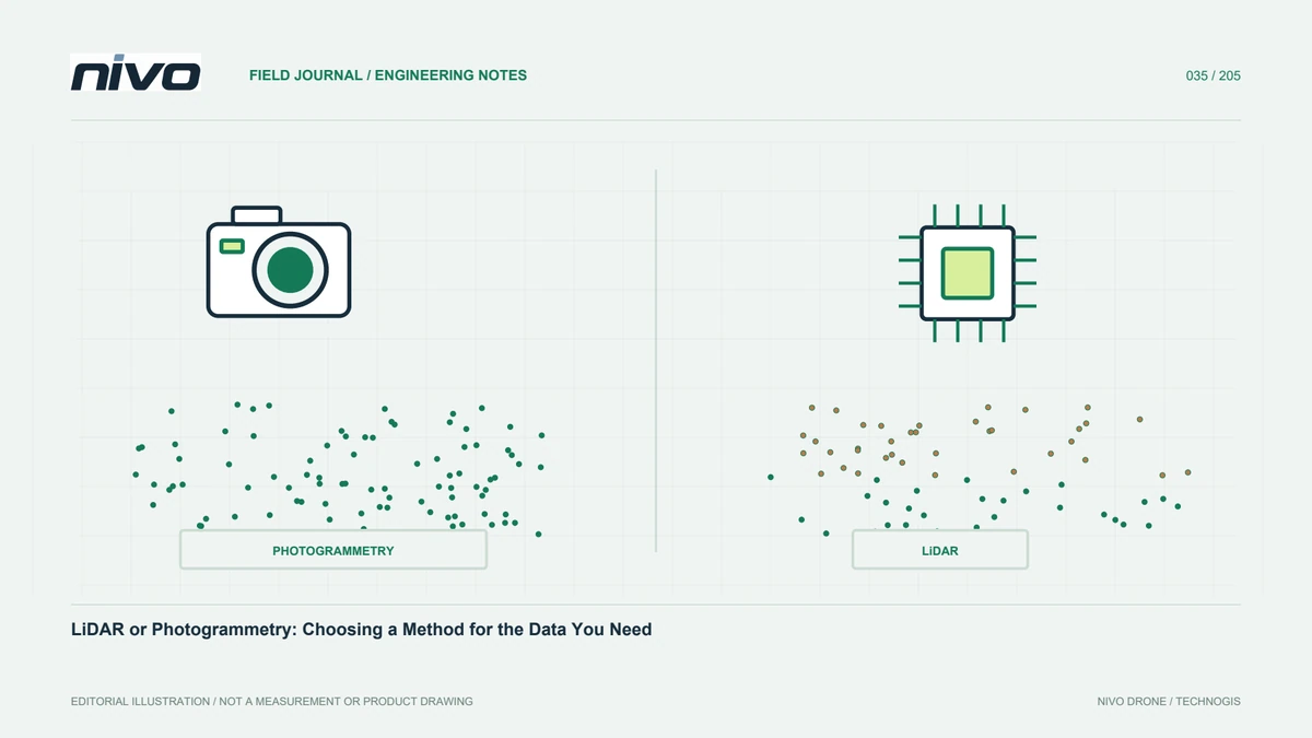
Compare LiDAR and photogrammetry through observations, land cover, colour, processing, validation, and total project effort rather than sensor specifications alone.

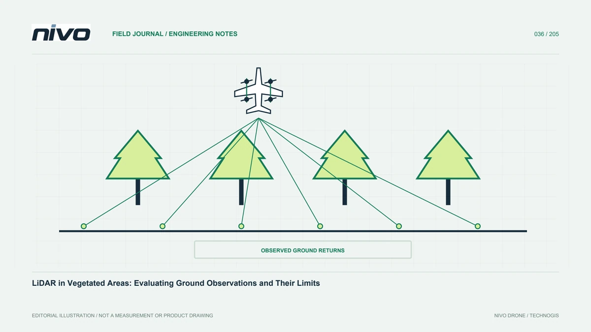
Understand canopy gaps, returns, ground-point support, classification, and terrain checks so vegetation mapping does not promise information the sensor did not observe.