The GIS Workflow after Drone Processing: Turning Products into Working Information
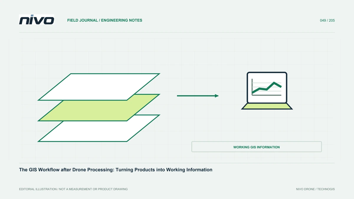
Check references, structure rasters and vectors, manage attributes, validate analysis, and package maps so drone survey results become usable project information.
Practical guides to VTOL aircraft, drone technology, geospatial workflows, payloads and inspection.

Check references, structure rasters and vectors, manage attributes, validate analysis, and package maps so drone survey results become usable project information.

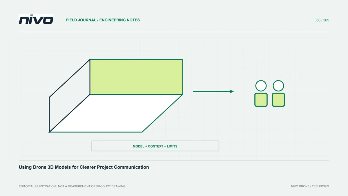
Present point clouds and meshes with context, annotations, lightweight copies, version identities, and measurement limits so 3D views support informed project discussion.

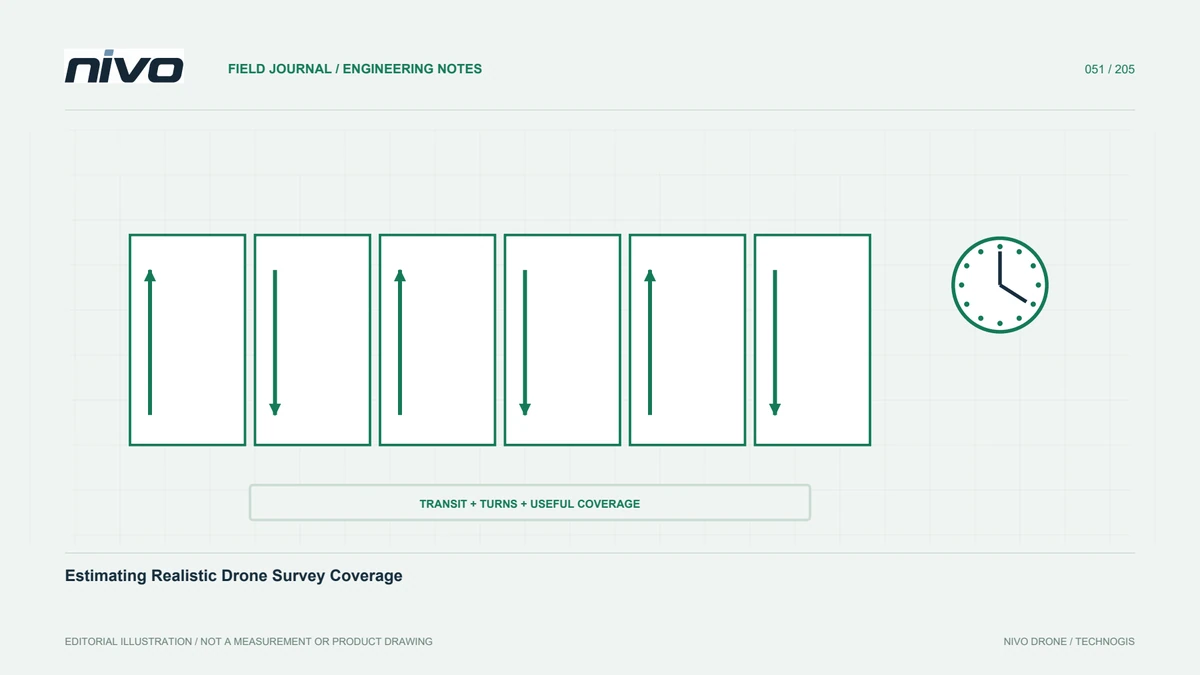
Connect camera footprint, overlap, route length, non-mapping time, quality checks, and operating assumptions to build a defensible estimate of usable survey coverage.

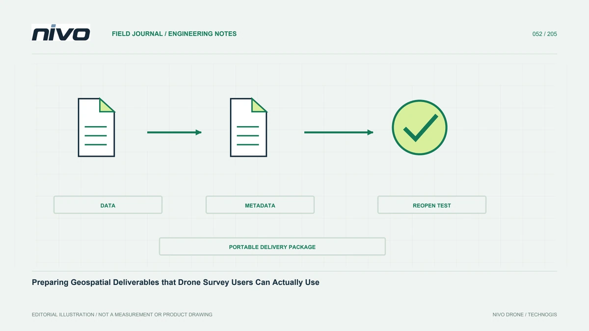
Package main data, metadata, assessment evidence, indexes, and opening guidance so recipients can understand and verify drone products after a complete handover.

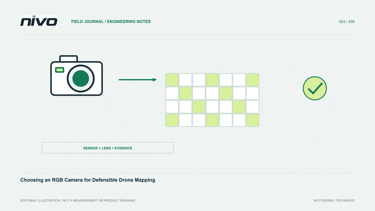
Choose an RGB mapping camera by connecting data requirements, lenses, shutter behavior, aircraft integration, field testing, and independent checks of the final outputs.

Evaluate the Sony α6400 for aerial mapping through lens selection, repeatable focus, image intervals, installed payload requirements, and checks of the resulting dataset.

Assess the Sony RX1R III for aerial mapping by connecting its fixed lens and image detail with integration testing, data handling, and evidence from processed survey trials.

Evaluate the Sony α7R V through required feature detail, lens geometry, motion control, reliable triggering, aircraft integration, and a practical data-processing workflow.

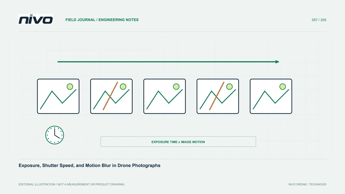
Understand how exposure time, aperture, ISO, aircraft motion, and changing light interact when preserving image detail for aerial mapping and subsequent quality checks.

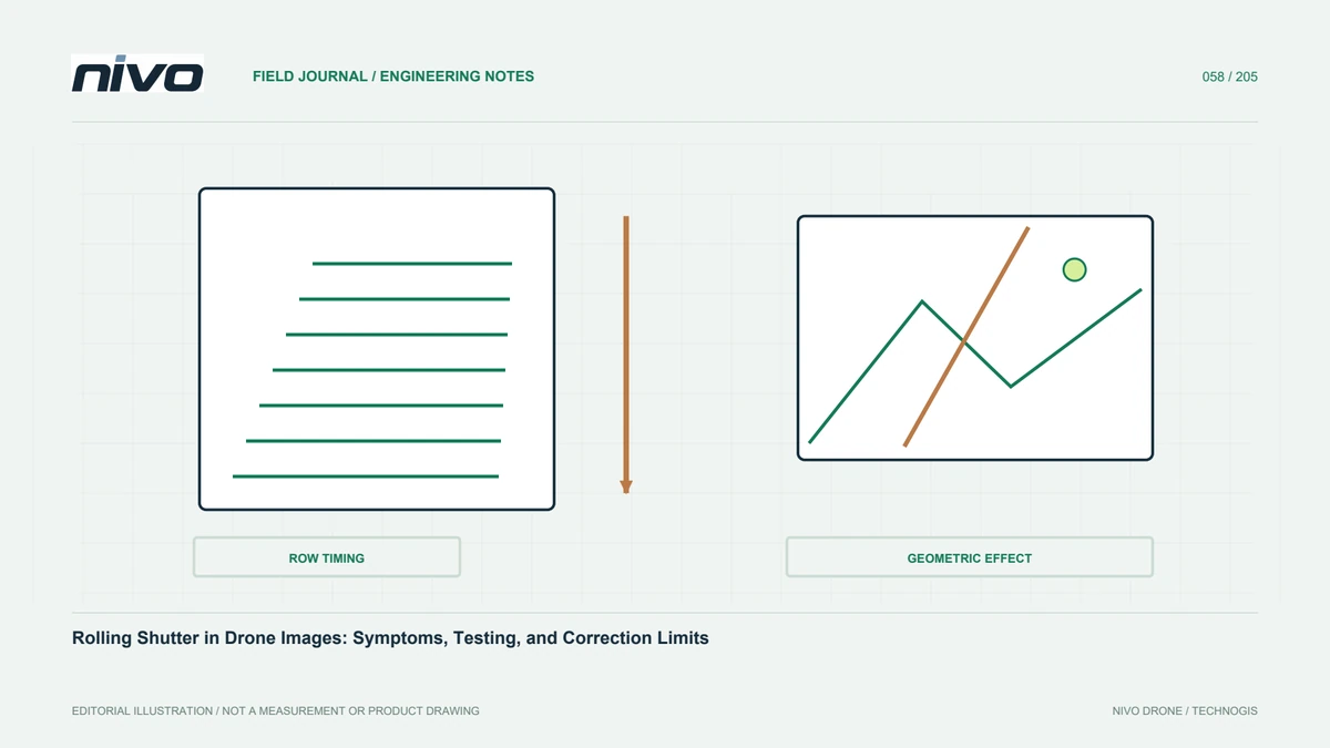
Distinguish rolling shutter from motion blur, assess movement-related geometric effects, and test processing corrections against independently checked survey outputs.

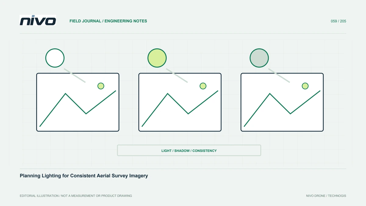
Plan aerial-survey lighting around shadows, moving clouds, reflective surfaces, exposure requirements, multispectral calibration, and the intended interpretation of the data.

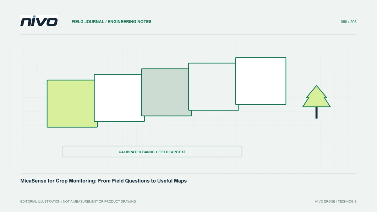
Plan crop monitoring with MicaSense by connecting specific agronomic questions, confirmed sensor configurations, calibration, processing, field verification, and usable reporting.