LiDAR Boresight and Strip Alignment: Checking Consistency between Flight Lines
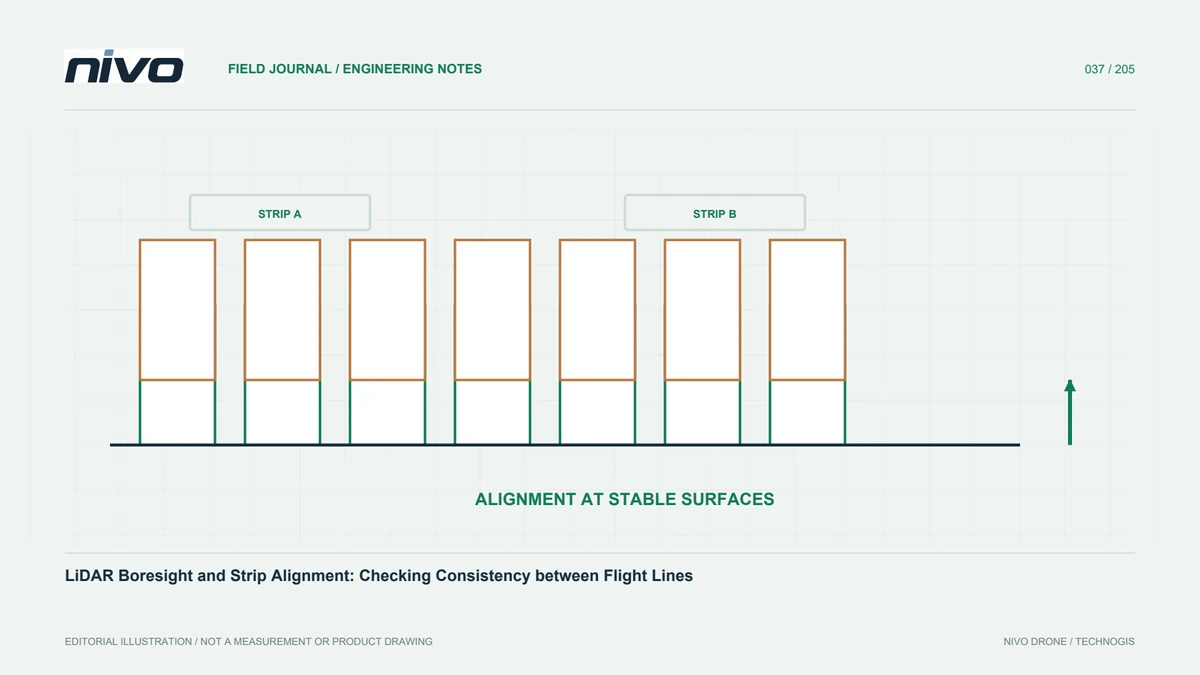
Connect installation geometry, trajectory, timing, and strip assessment so a LiDAR cloud does not conceal doubled surfaces or unsupported geometric corrections.
Practical guides to VTOL aircraft, drone technology, geospatial workflows, payloads and inspection.

Connect installation geometry, trajectory, timing, and strip assessment so a LiDAR cloud does not conceal doubled surfaces or unsupported geometric corrections.

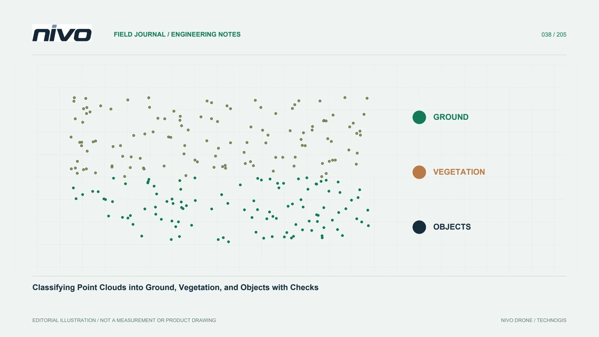
Build traceable point-cloud classification through explicit class definitions, representative tests, profile review, retained attributes, and assessment of derived products.

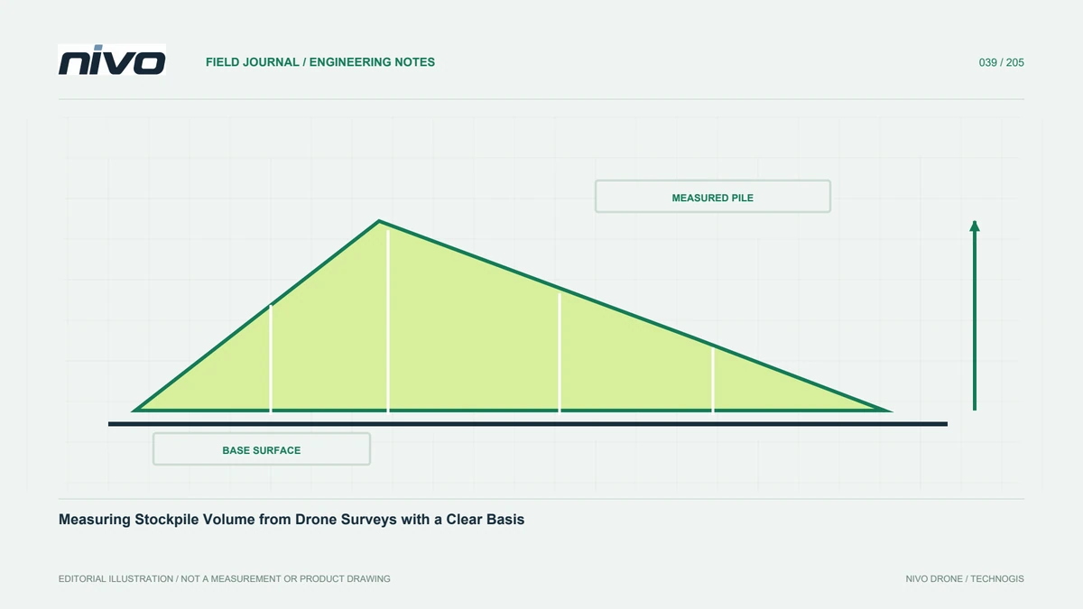
Define stockpile boundaries, base surfaces, grids, missing observations, and quality checks so volume results can be repeated and compared without hidden assumptions.

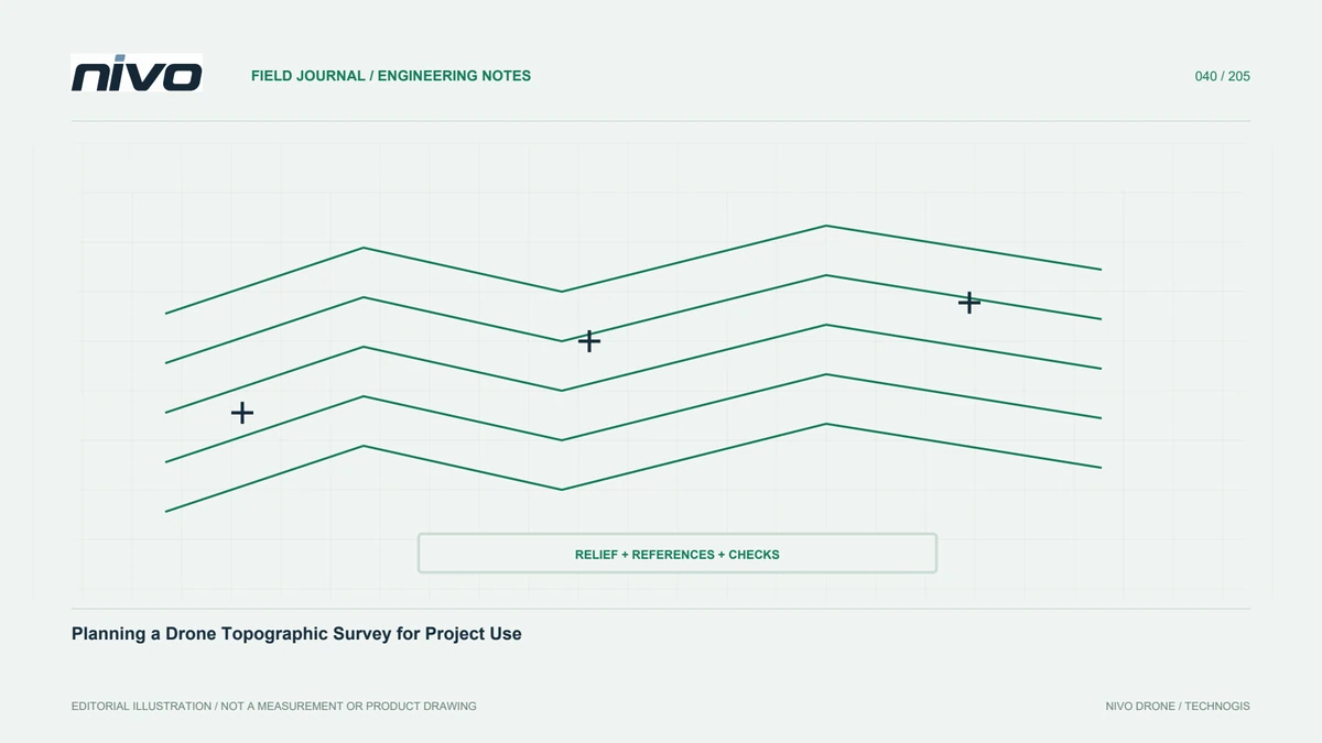
Connect intended use, cover, control, terrain modelling, supplementary observations, and handover so topographic drone products can be evaluated by the project team.

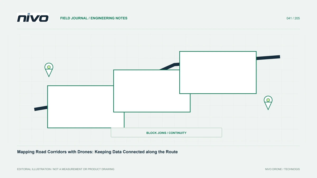
Plan corridor segments, image geometry, control, block joins, and GIS delivery so a long road survey remains connected, consistent, and understandable to users.

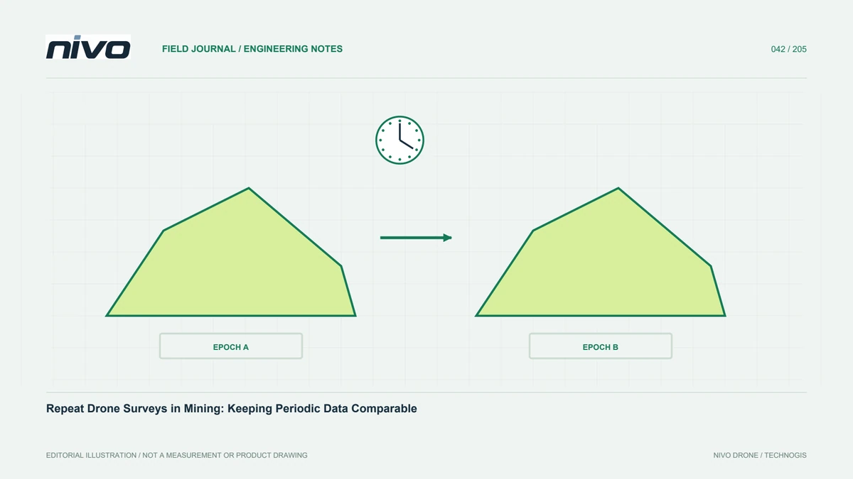
Maintain consistent references, boundaries, timing, surface definitions, and checks so mining progress and volume changes are not confused with survey differences.

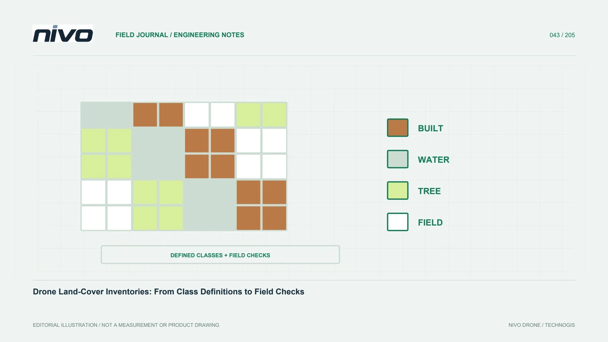
Define land-cover categories, mapping units, supporting observations, and independent samples so category areas are meaningful, consistent, and explainable.

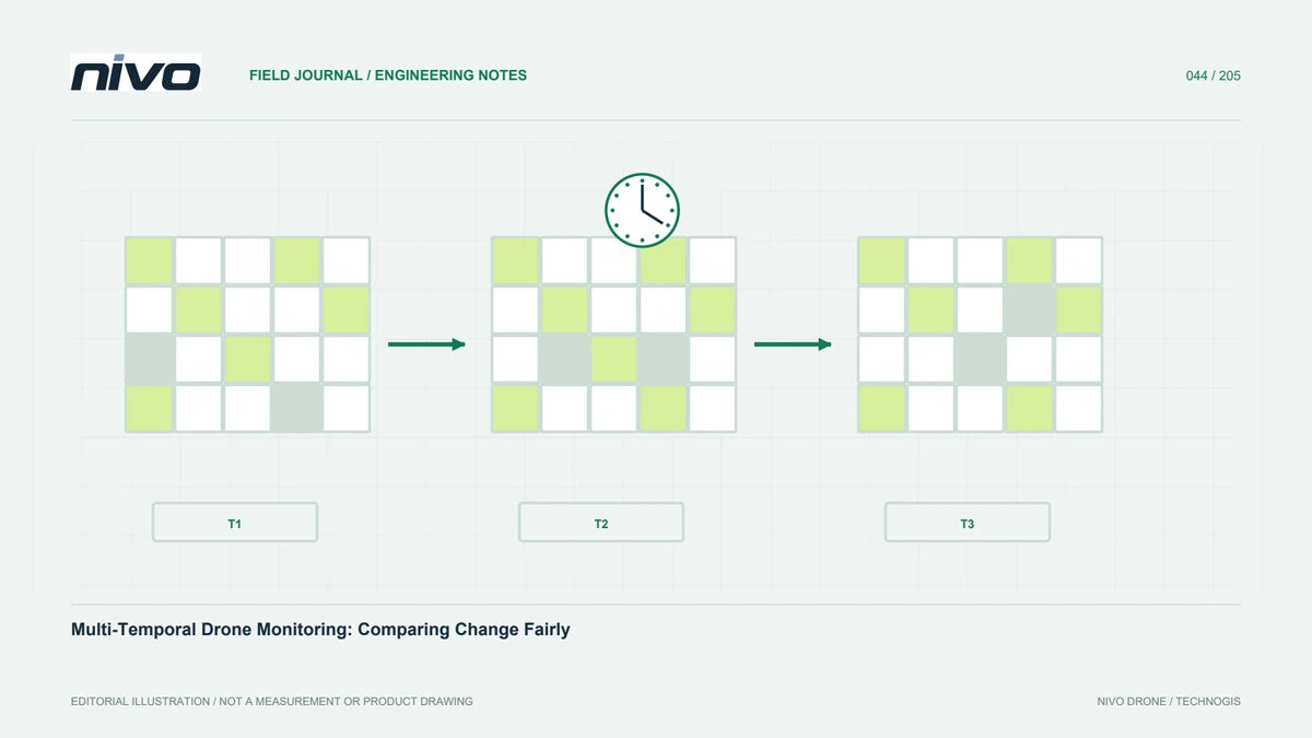
Keep repeat capture, coordinates, grids, surface definitions, and verification consistent so observed differences are not confused with lighting or processing effects.

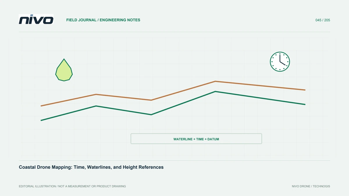
Plan around water levels, changing shore conditions, reflective surfaces, and elevation references so coastal drone maps remain interpretable and comparable.

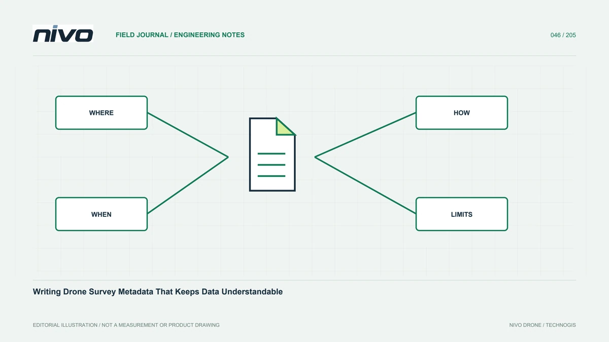
Document origin, coordinates, time, processing, quality, and use limitations so drone datasets remain usable after handover without relying on the team's memory.

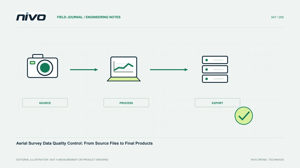
Check source completeness, geometry, references, product meaning, joins, and exports so aerial survey problems are found and documented before project handover.

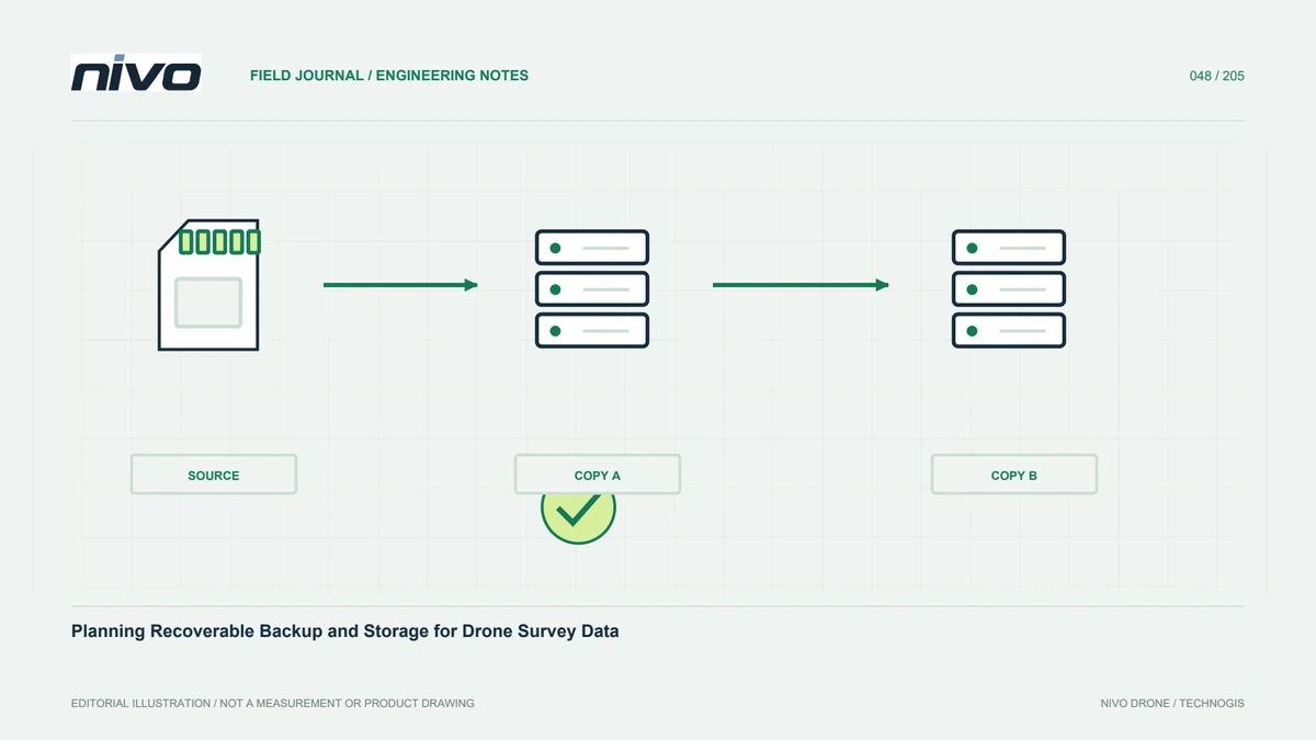
Protect original imagery, trajectories, control records, and outputs through separate copies, manifests, version control, access rules, and tested recovery procedures.