Protecting Highlight Detail in Mixed Roof-and-Field Aerial Photography
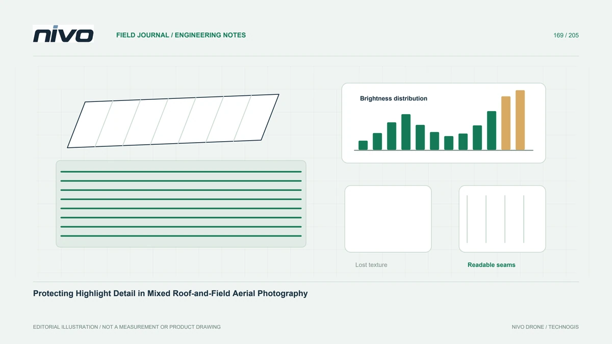
Review bright roofs and darker ground together using representative exposures, histogram context, original-file checks, and explicit limits on recoverable detail.
Practical guides to VTOL aircraft, drone technology, geospatial workflows, payloads and inspection.

Review bright roofs and darker ground together using representative exposures, histogram context, original-file checks, and explicit limits on recoverable detail.

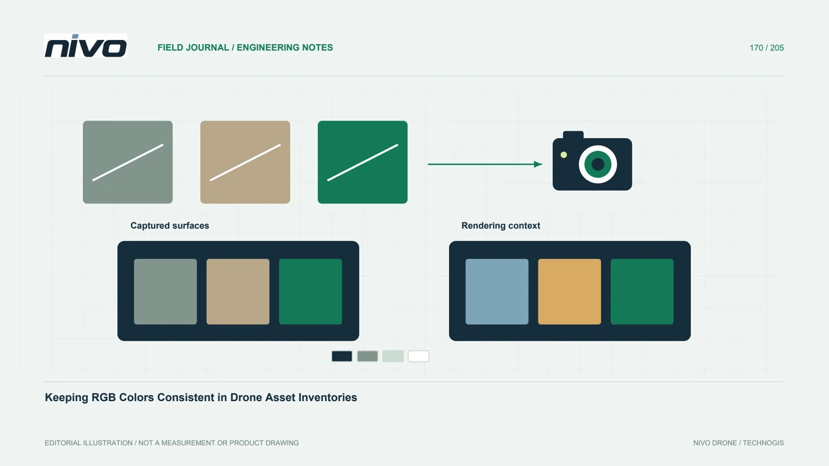
Control white balance, rendering, viewing, and source identity when RGB color supports asset comparison, without treating ordinary photographs as spectral measurements.

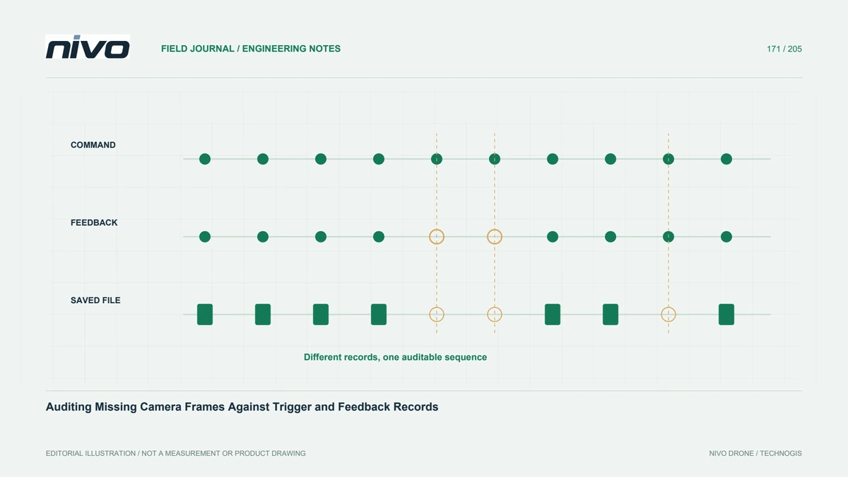
Build a frame audit that separates camera commands, exposure feedback, saved files, and spatial coverage so missing images are investigated with evidence.

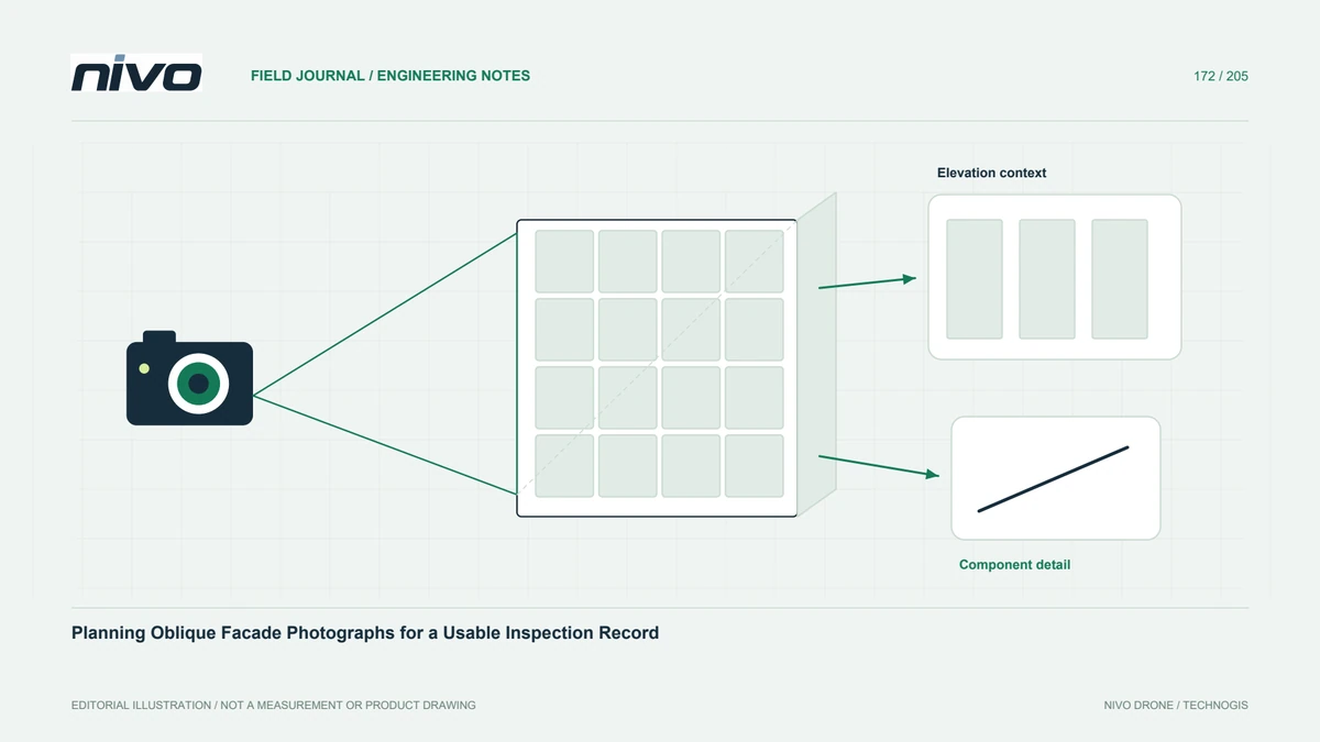
Organize facade imagery by elevation, bay, level, and viewpoint, then distinguish visual evidence from measured orthographic or three-dimensional products.

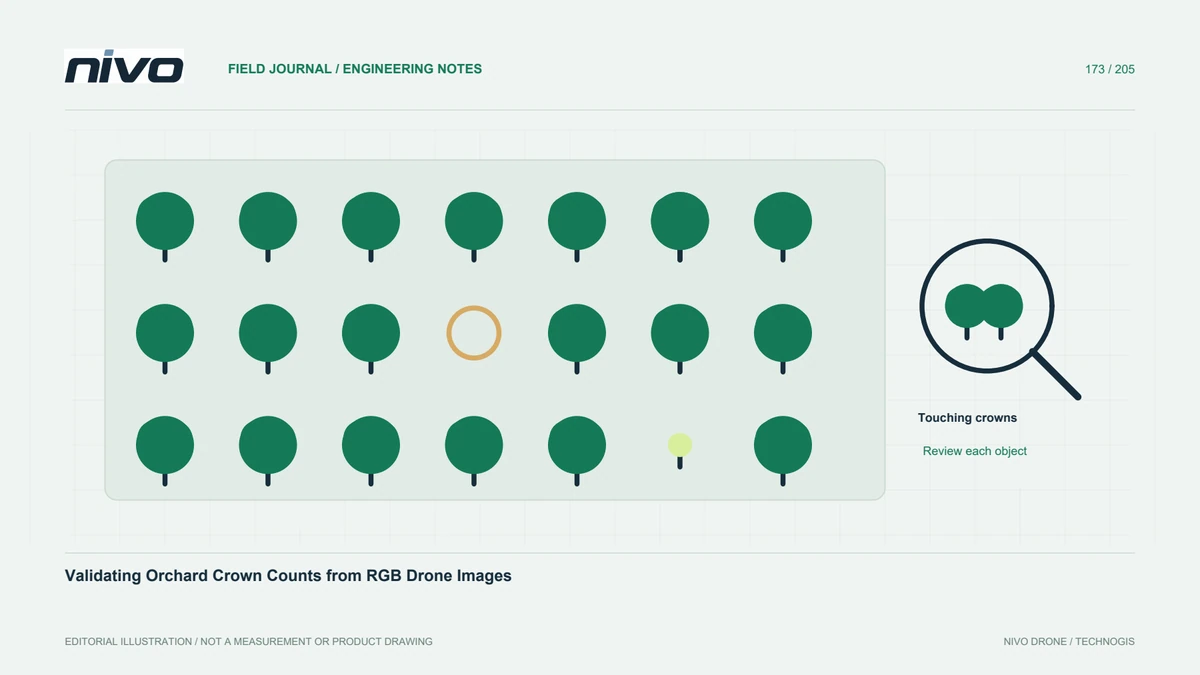
Define what counts as one tree, inspect touching crowns and missed young plants, and test orchard inventory results against independent field observations.

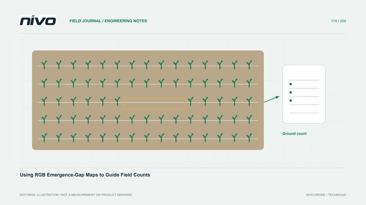
Map suspected crop-row gaps as scouting targets, then verify plant presence, emergence timing, and field conditions before making a management decision.

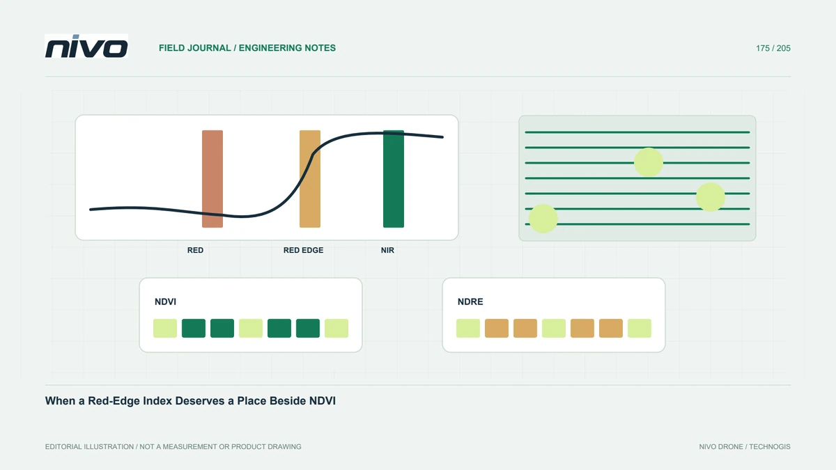
Evaluate NDRE as a defined analytical addition by checking actual bands, crop stage, calibration, comparison areas, and the field evidence needed for interpretation.

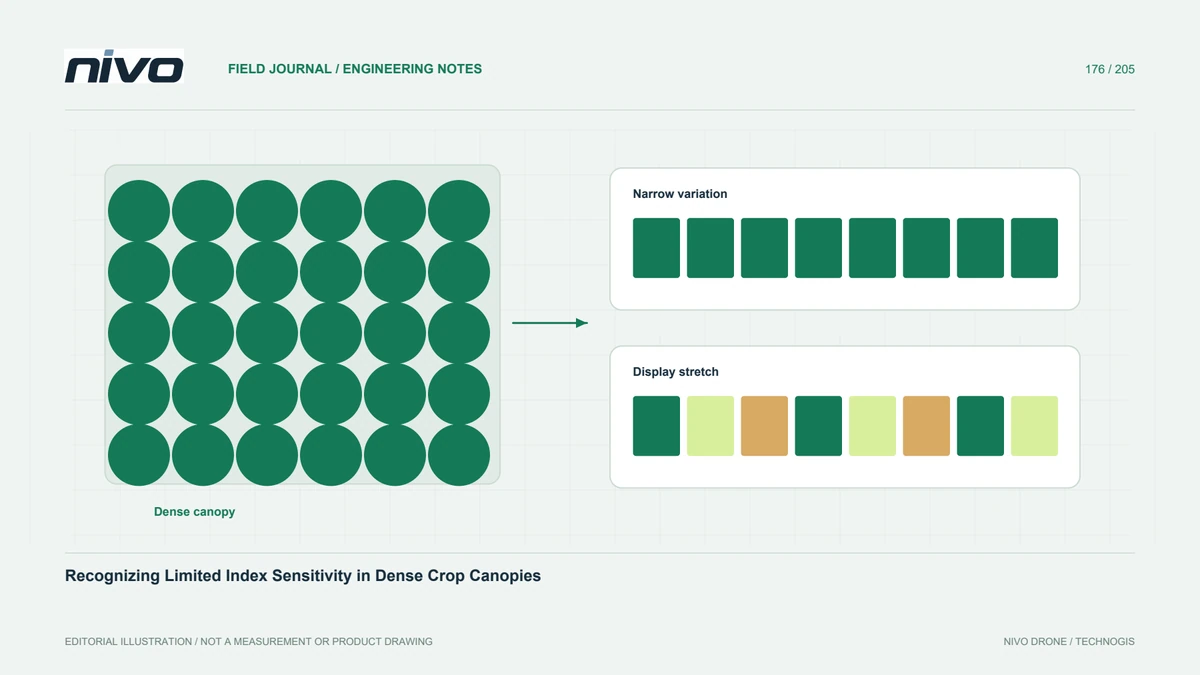
Investigate uniform-looking vegetation maps by separating display stretching, narrow numerical variation, canopy development, and the limits of index sensitivity.

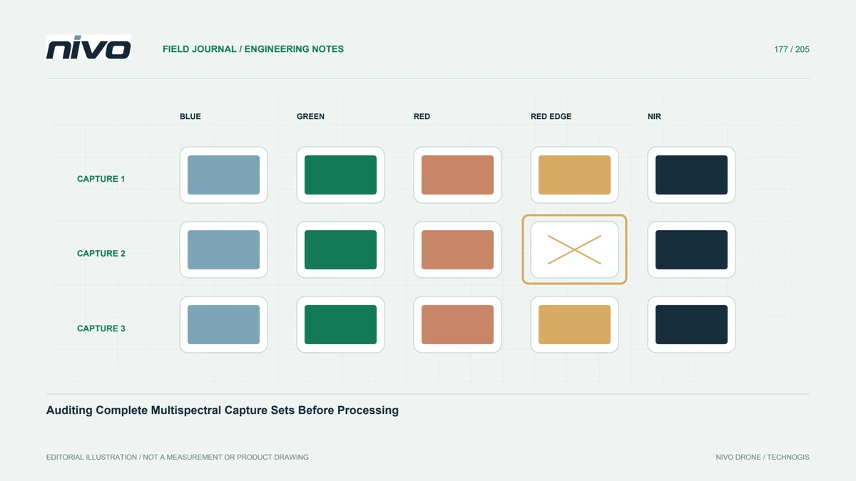
Check capture identities and required band files before reconstruction so a large file count does not conceal incomplete or mismatched multispectral observations.

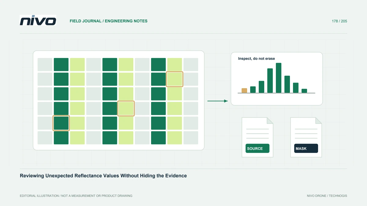
Investigate negative or unusually high reflectance outputs through units, scaling, metadata, source images, and quality masks before altering analytical values.

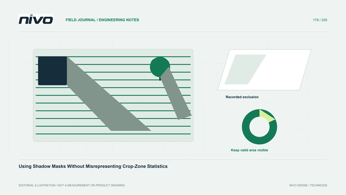
Define and review shadow exclusions, retain valid-area denominators, and distinguish an unobserved shaded crop from a genuinely low vegetation response.

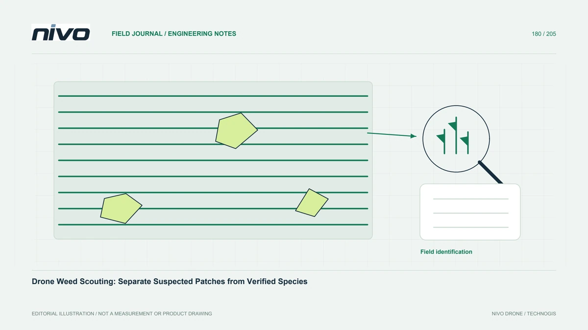
Use aerial patterns to prioritize weed scouting while documenting crop confusion, field identification, map uncertainty, and the separate assessment needed for treatment.