Landcam 2 Spectra: Preparing a Measurable Multispectral Workflow
Plan Landcam 2 Spectra use through confirmed sensor details, observation goals, aircraft integration, calibration procedures, dataset checks, and practical field interpretation.
Practical guides to VTOL aircraft, drone technology, geospatial workflows, payloads and inspection.

Plan Landcam 2 Spectra use through confirmed sensor details, observation goals, aircraft integration, calibration procedures, dataset checks, and practical field interpretation.

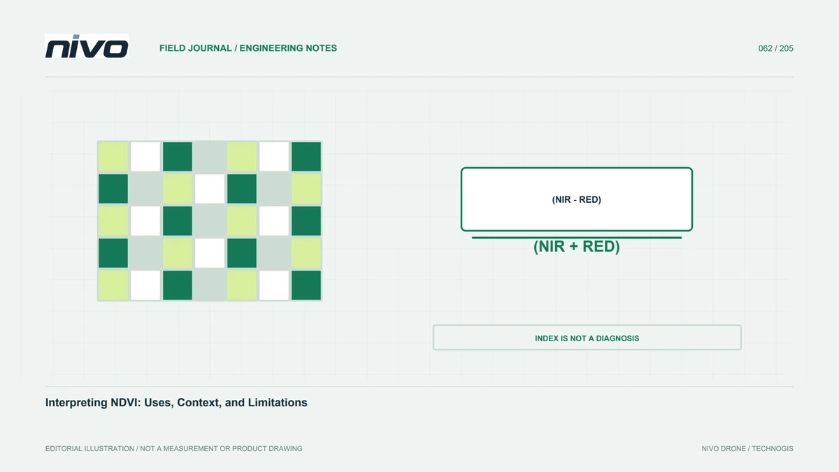
Understand NDVI values alongside canopy cover, soil, acquisition quality, seasonal context, field sampling, and the evidence needed before making crop-management decisions.

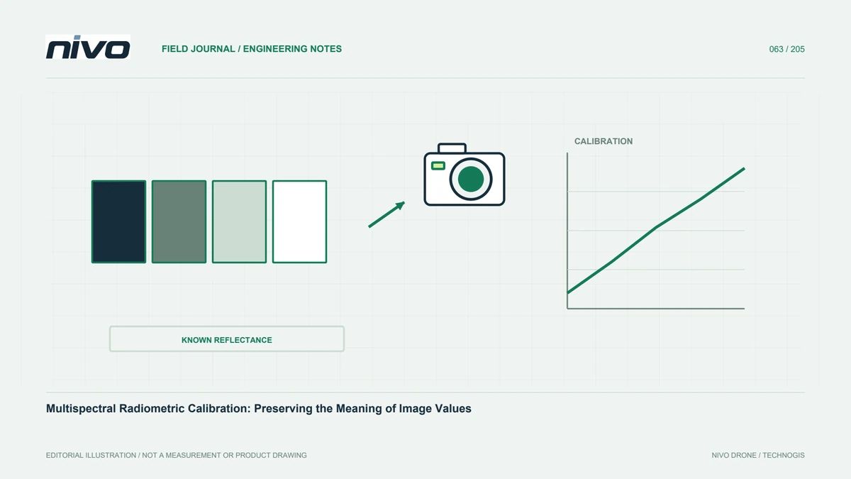
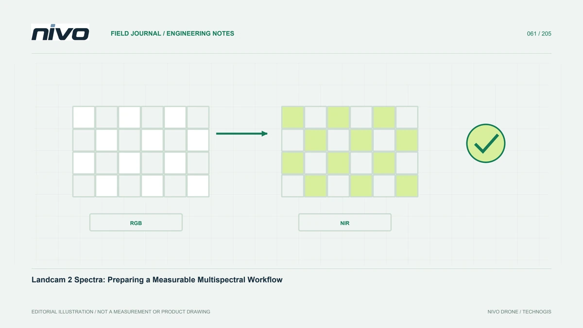
Build a traceable multispectral calibration workflow using appropriate reflectance references, metadata, light observations, band checks, and transparent interpretation limits.

Build comparable crop monitoring through stable parcel identities, growth-stage records, consistent acquisition, calibration, geometric checks, and field verification.

Plan thermal drone inspections by understanding surface radiation, observation conditions, target readability, RGB context, data formats, and technical verification of findings.

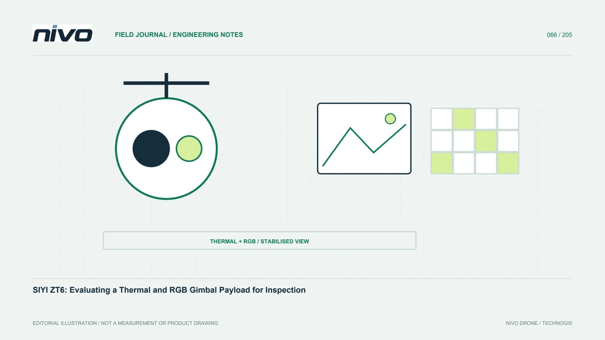
Assess the SIYI ZT6 through its confirmed thermal and RGB configuration, target-readability trials, gimbal operation, installed-system integration, and actionable evidence.

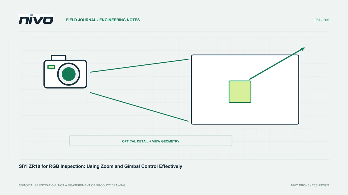
Evaluate SIYI ZR10 inspection work through optical zoom, camera orientation, target detail, asset identification, integration trials, and traceable visual evidence.

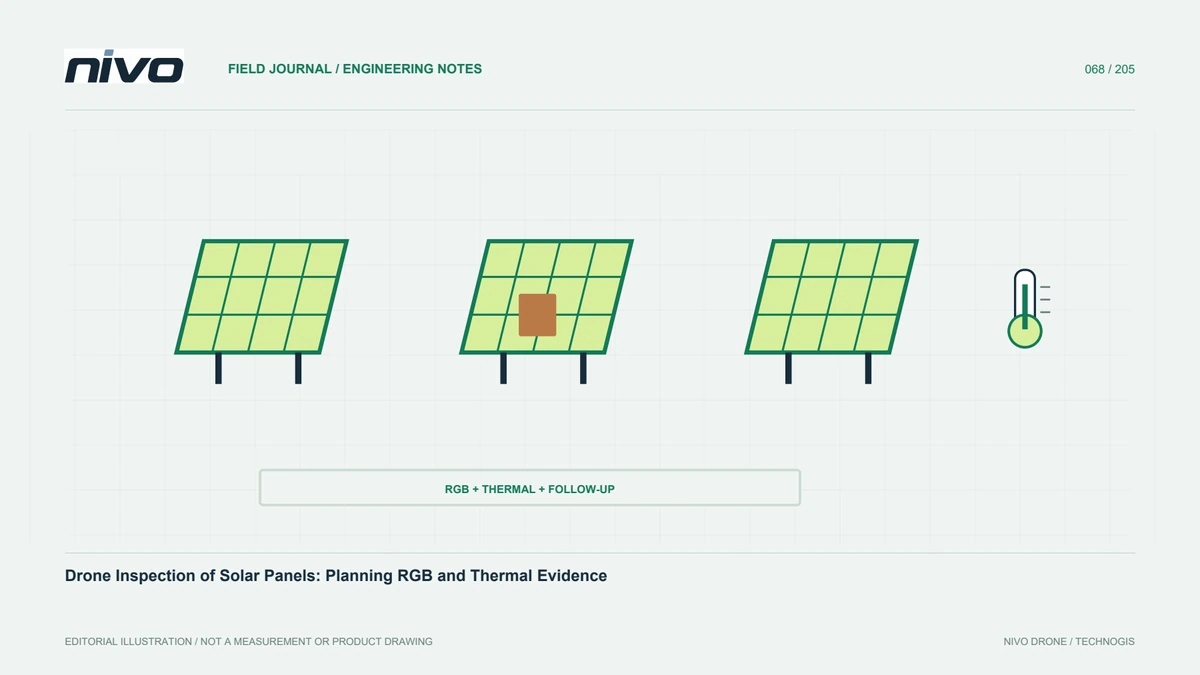
Plan solar-panel inspections around module identities, operating conditions, reflective surfaces, paired RGB and thermal evidence, coverage checks, and technical follow-up.

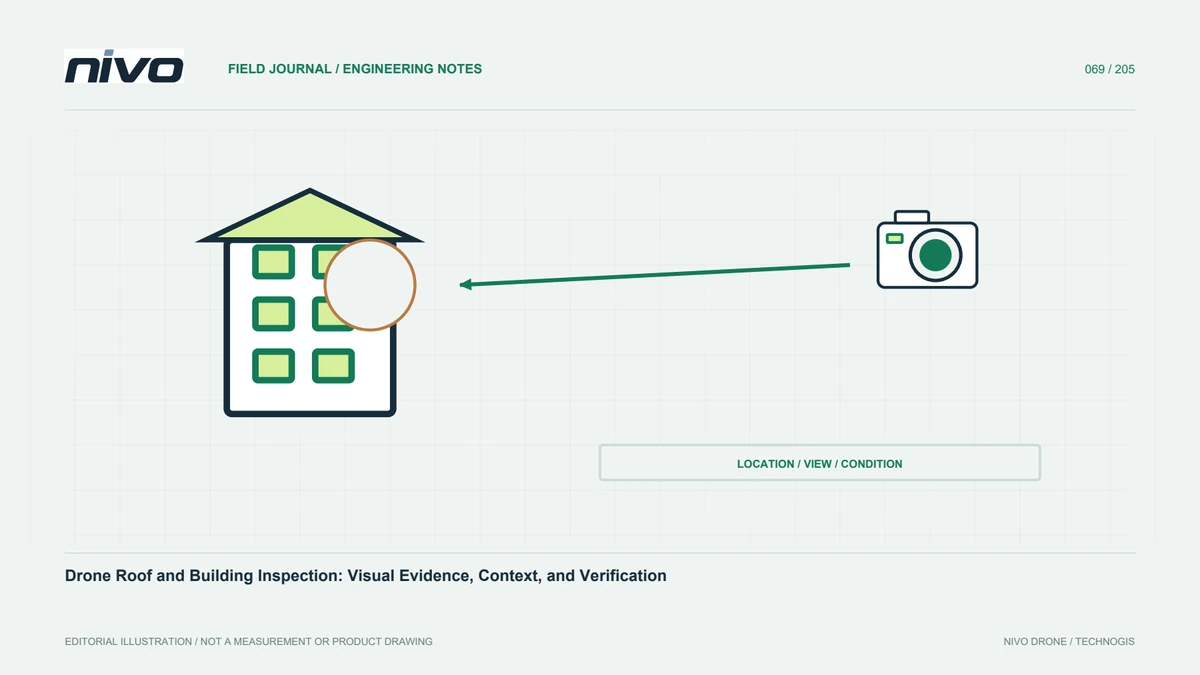
Design building inspections around asset zones, readable RGB detail, suitable thermal observations, location records, coverage limits, and verification by technical personnel.

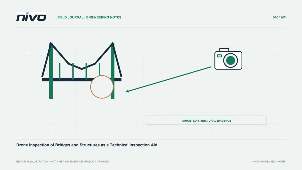
Plan bridge documentation using element identities, agreed image detail, realistic viewpoints, traceable evidence, and clear boundaries for visual assessment.

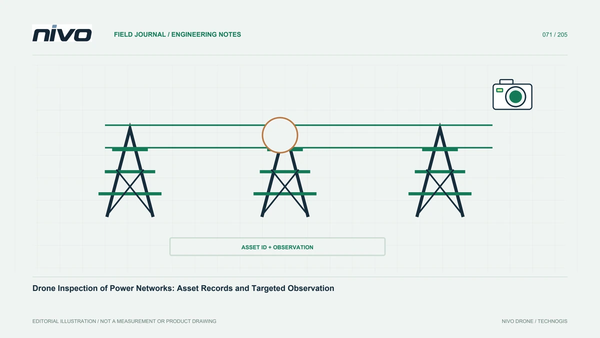
Plan power-network documentation through asset identities, readable RGB and thermal evidence, owner coordination, component-based coverage, and qualified technical follow-up.

Turn inspection photographs into usable reports through asset identities, locating context, evidence levels, verification status, coverage limits, and documented next actions.