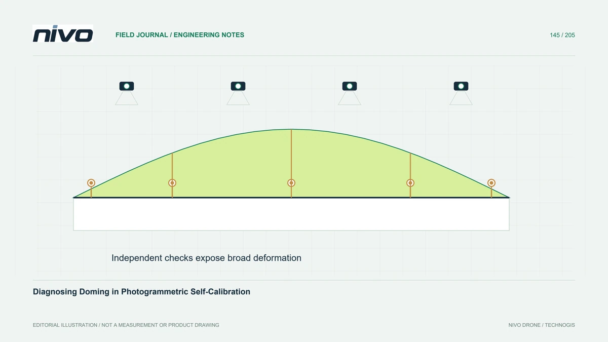
Diagnosing Doming in Photogrammetric Self-Calibration
Look for broad systematic deformation using independent checks, camera-parameter review, and network geometry instead of judging a reconstruction by image fit alone.
Practical guides to VTOL aircraft, drone technology, geospatial workflows, payloads and inspection.

Look for broad systematic deformation using independent checks, camera-parameter review, and network geometry instead of judging a reconstruction by image fit alone.

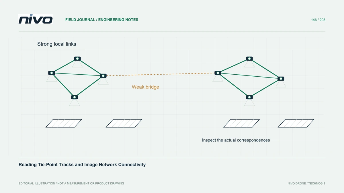
Evaluate image connections and track distribution to find weakly linked blocks, repeated textures, and isolated images before investing in dense reconstruction.

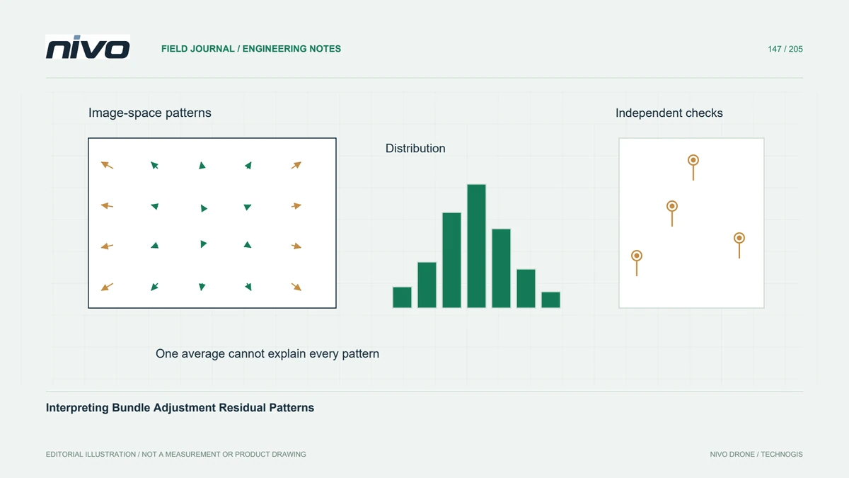
Read residual distributions by image location, camera group, and survey position so systematic problems remain visible behind a low overall reconstruction error.

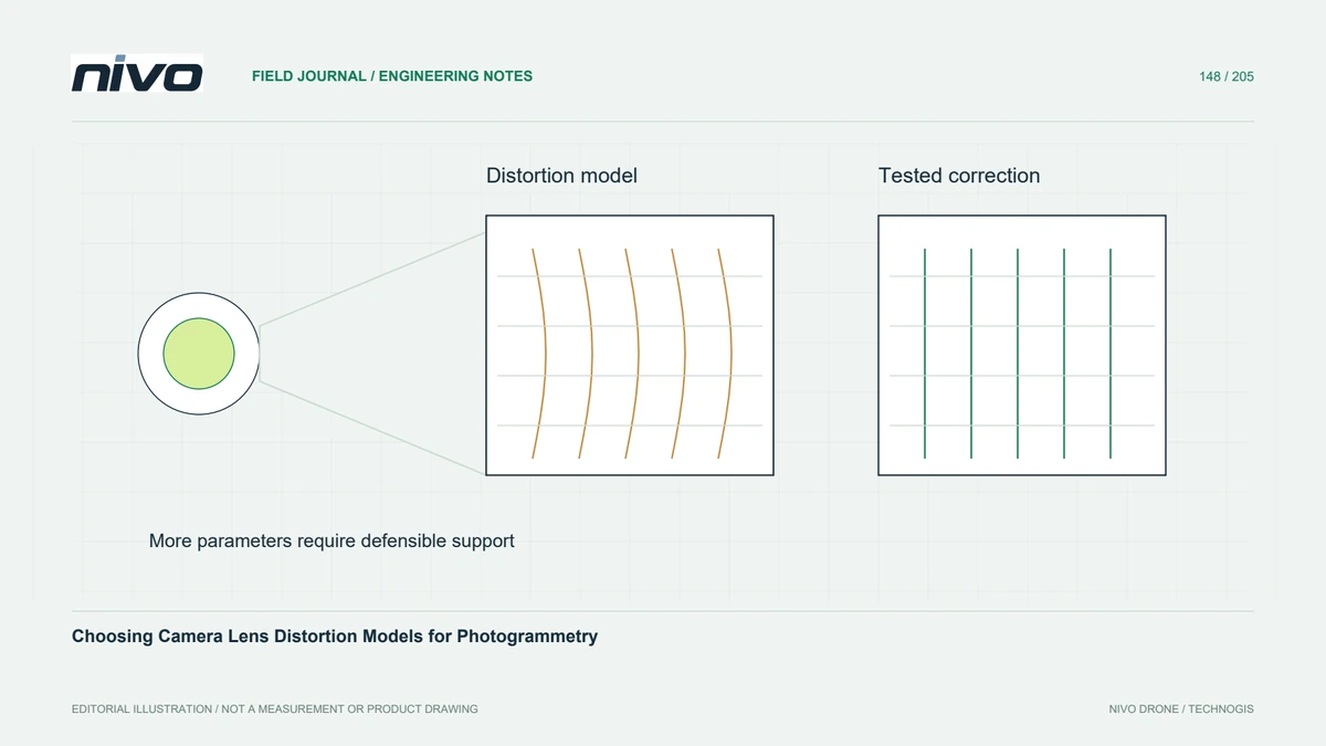
Select a defensible camera model, preserve calibration conventions, and test parameter stability and independent geometry instead of assuming more coefficients improve accuracy.

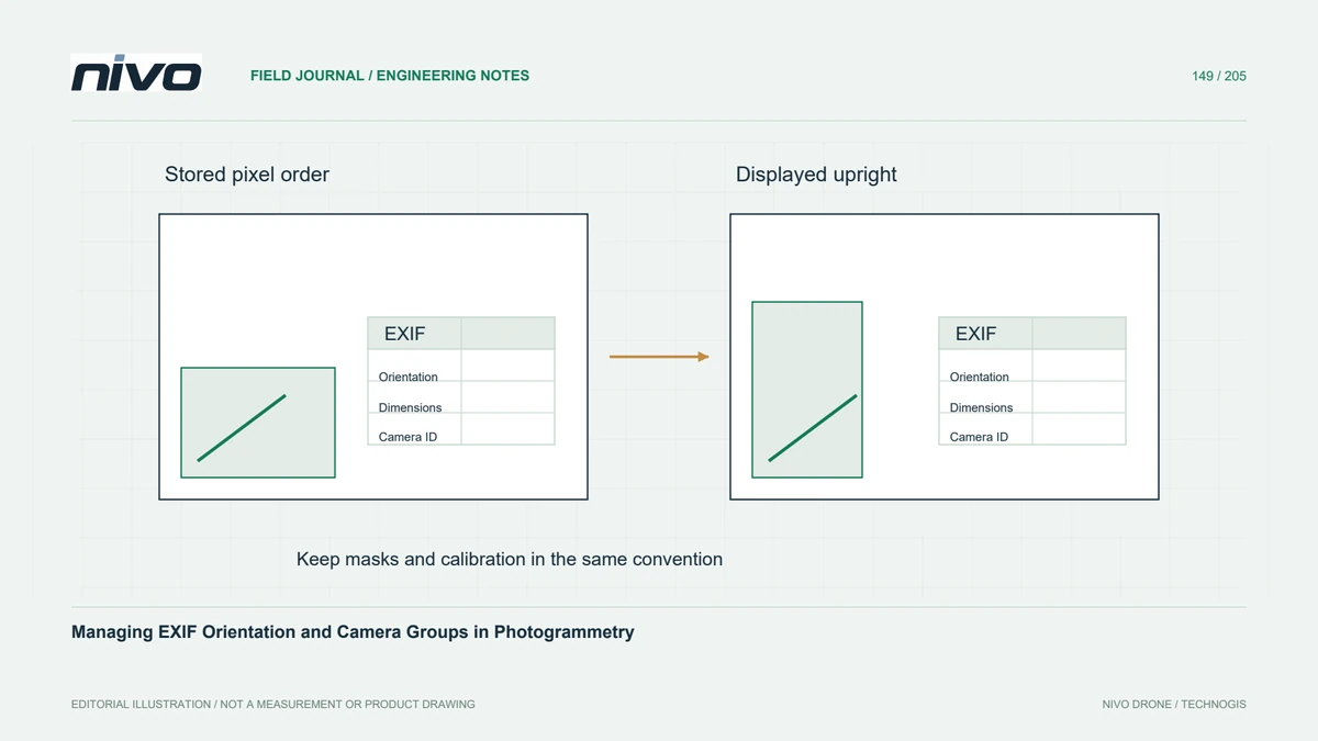
Inspect stored pixels, orientation tags, image dimensions, and calibration groups before processing mixed imagery or transferring masks and camera parameters.

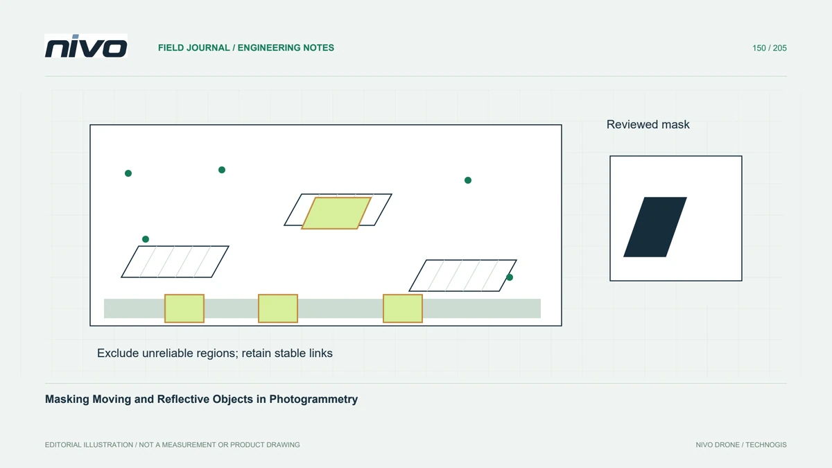
Exclude unreliable image regions with reviewed masks, preserve enough stable feature support, and verify which reconstruction stages actually use the mask.

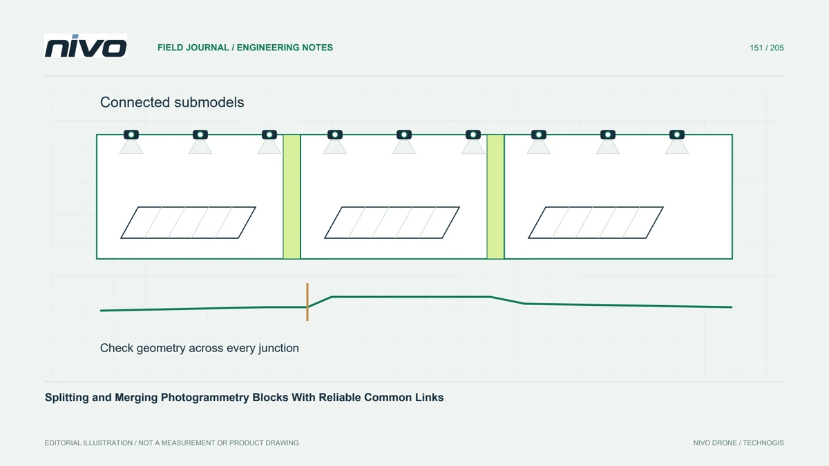
Partition large image projects around real connectivity, verify shared observations and alignment, and check merged outputs beyond a seamless-looking orthomosaic.

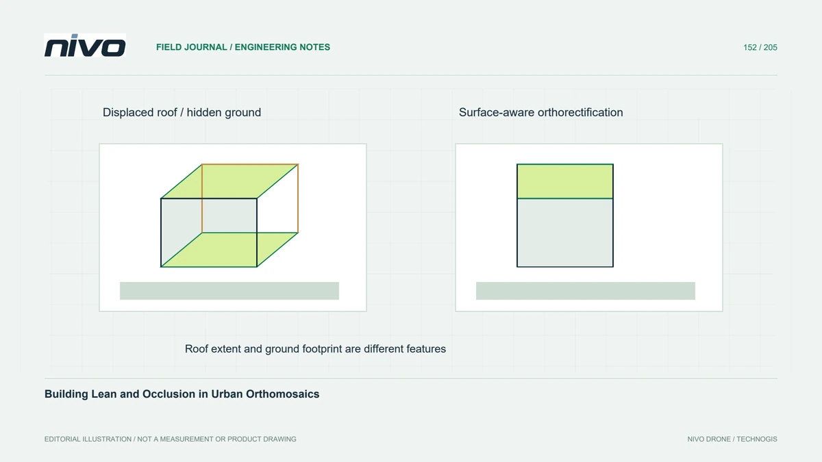
Distinguish displaced roofs from ground footprints, inspect urban occlusions, and check the surface model and source views before using orthomosaics for asset mapping.

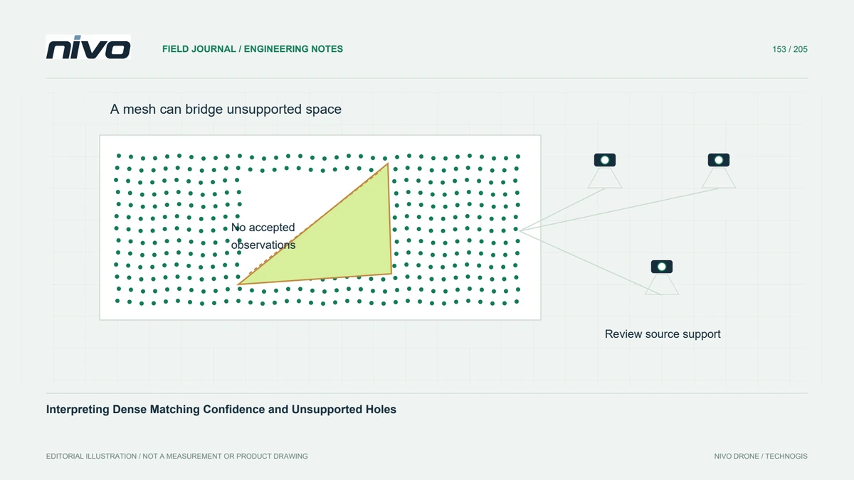
Read dense-reconstruction quality fields in their software context, compare completeness with reliability, and keep unsupported gaps visible in derived surfaces.

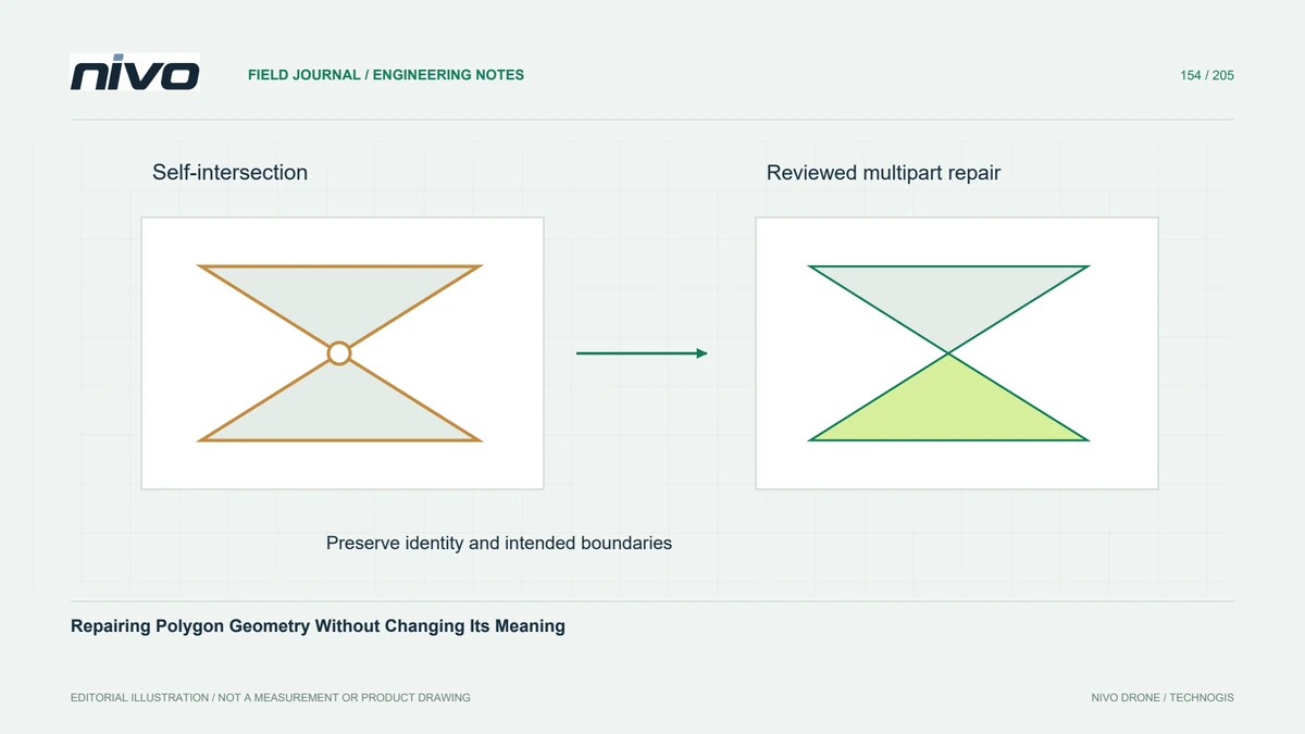
Diagnose invalid polygons, review the effects of automated repair, and preserve feature identity, area evidence, and intended boundaries throughout GIS cleanup.

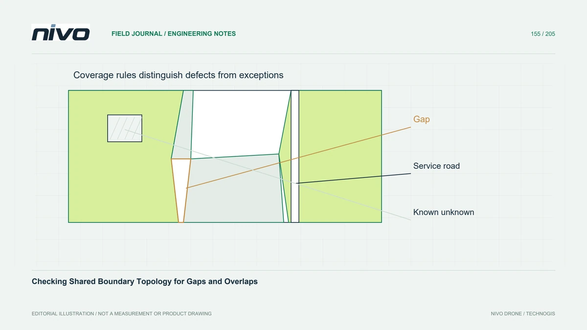
Review polygon layers as a coverage, distinguish legitimate holes from defects, and control shared-edge edits so area summaries remain consistent.

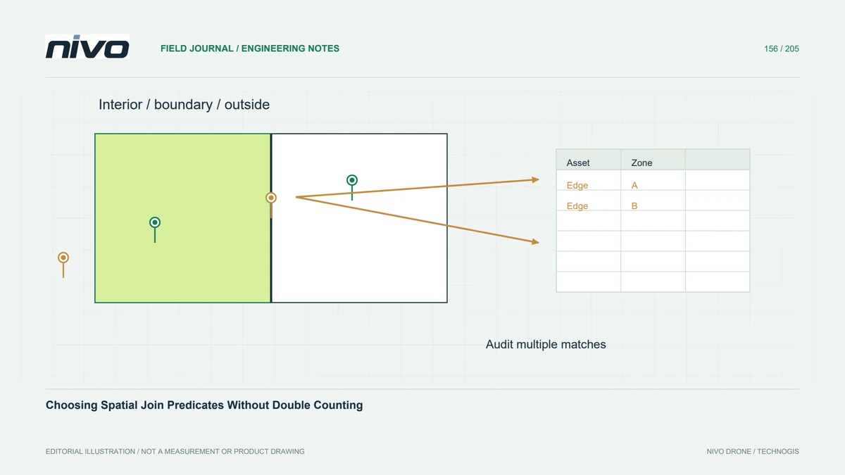
Define interior, boundary, and overlap behaviour before joining drone-derived assets to zones, then audit unmatched and multiply matched records.